Hello adventurous friends and nature lovers, today I am in the north of Portugal to do one of the most beautiful trails in the area of "Avintes" a village that borders two of the most important rivers in the district of Porto, the "Febros and the Douro". The walk with a duration of three hours allows us to see several beautiful and ancient places, some of the architecture dates back to the post-medieval era making the walk more attractive, at the same time we will enjoy the landscapes of small humid forests typical of the high areas; enjoy the experience.🧭⛰️
Hola amigos aventureros y amantes de la naturaleza, hoy estoy en el norte de Portugal para hacer uno de los senderos mas bonitos de la zona de "Avintes" una aldea que limita con dos de los rios mas importantes del distrito de Porto, el "Febros y el Douro". La caminata con una duracion de tres horas nos permite conocer varios lugares bonitos y antiguos, algunas de las arquitecturas datan de la era post medieval haciendo mas atractiva la caminata, al mismo tiempo disfrutaremos de los paisajes de pequenos bosques humedos tipicos de las zonas elevadas; disfruta de la experiencia.🌳🌻🌎
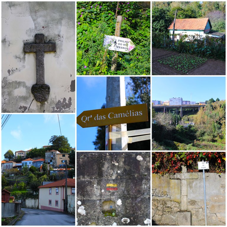
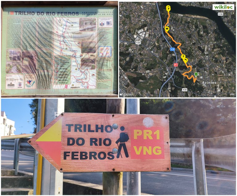
The walk starts at the following coordinates: "41.100256, -8.557752" to get here you can travel by public or private car to the village of "Avintes", there you will find this sign that has all the details of the walk including the rules, it is also called: "PR1", this route is signposted so it is impossible to get lost, it is a linear route therefore you will have to go and come back, the walk will take you three hours and is between 8-10km, there are several stops to photograph interesting things like churches that is why it is quite attractive.🌳⛰️
La caminata inicia en la siguinte coordenada: "41.100256, -8.557752" para llegar aqui puedes desplazarte con carro publico o particular a la aldea de "Avintes", alli conseguiras este letrero que tiene todos los detalles de la caminata incluyendo las normas, tambien se le llama: "PR1", este trayecto esta senalizado por eso es imposible perderte, es un trayecto lineal por tanto tendras que ir y volver, la caminata te tomara tres horas y son entre 8-10km, hay varias paradas para fotografiar cosas interesantes como iglesias por eso es bastante atractivo.🧭🚩
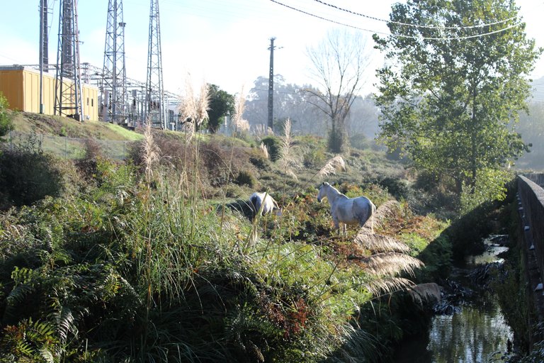
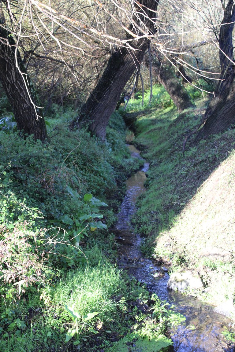
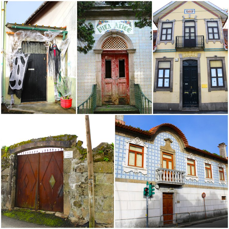
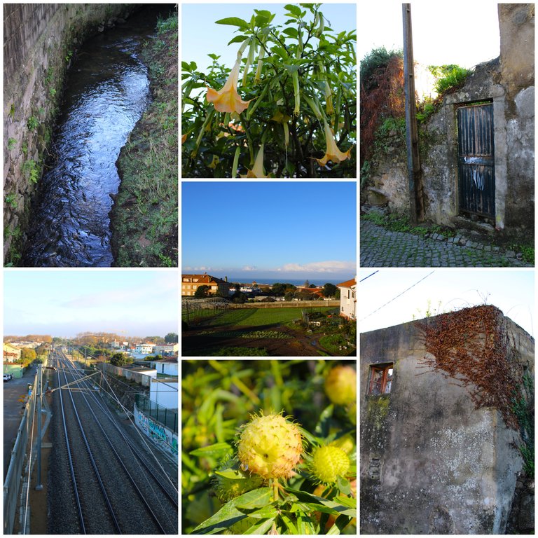
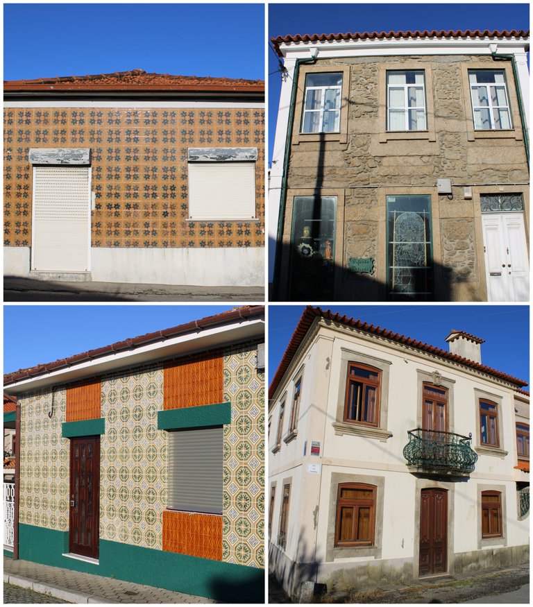
I left at 6am very early since the sun at this time of year sets at 17:00. I wanted to make the most of the walk. I was initially in "Canelas" which is a neighbouring village of "Avintes" and for the moment I made a few stops photographing several small streams that all flow into the Atlantic. I am less than 10km from the coast of Porto. Several houses with beautiful architecture and tiles stand out in this village.🚩⛰️
Sali a las 6am muy temprano ya que el sol a esta altura del ano se oculta a las 17:00 quise aprovechar la caminata lo mejor posible, estoy inicialmente en "Canelas" que es una aldea vecina de "Avintes" de momento hice algunas paradas fotografiando varios pequenos riachuelos que todos desembocan en el atlantico estoy a menos de 10km de la costa de Porto. Varias casas con hermosas arquitecturas y azulejos se destacan en esta aldea.🌎🌍
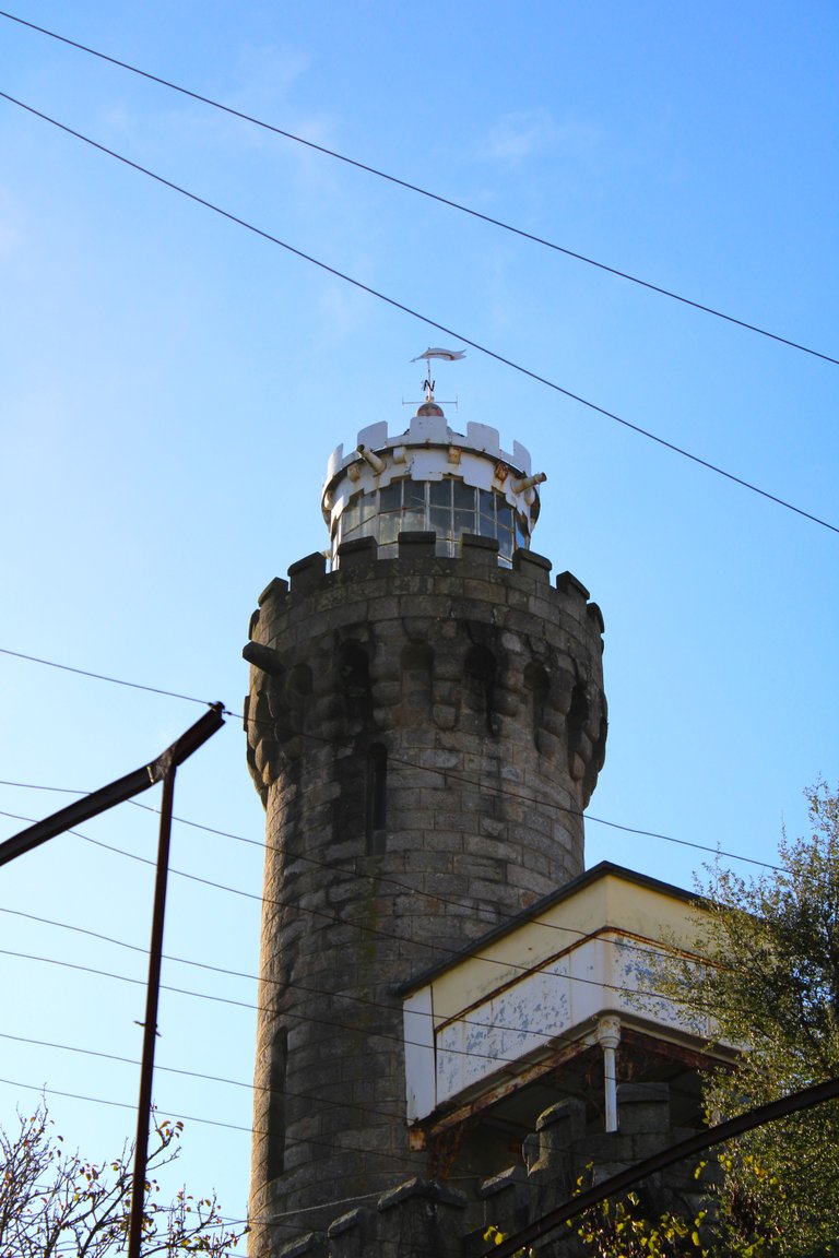
This has to be the most impressive palace or "castle" in the village without a doubt. I did some reading and there isn't much information on the internet, but it is said that it belonged to a wealthy family who worked in mining and other activities. Today it continues to be private property but it is abandoned. It is a clear example of the architecture of that time. What draws my attention is that it has a tower with a viewing point.🌎⛰️
Esta sin duda tiene que ser el palacio o "castillo" mas imponente de la aldea, estuve leyendo un poco no hay mucha informacion en internet pero se dice que pertenecio a una familia rica que trabajo con mineria y otras actividades, actualmente continua siendo una propiedad privada pero esta abandonada, es un claro ejemplo de la arquitectura de esa epoca, me llama la atencion que tiene una torre con un mirador.🚩🧭
In this village we can make several detours to visit different places, for example there is a riverbank, a zoo, a small stream next to a park, a cemetery and the main church, which is where I am headed right now!🧭📸
En esta aldea podemos hacer varios desvio para conocer diferentes lugares por ejemplo hay una ribera, un zoologico, un riachuelo pequeno al lado de un parque un cementerio e iglesia principal que es hacia donde me dirijo en este momento!📸

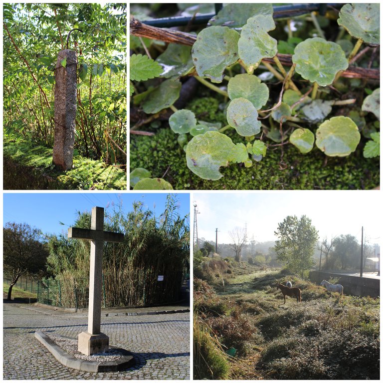

History and legend🕌⛰️/Historia y leyenda🌎🧭
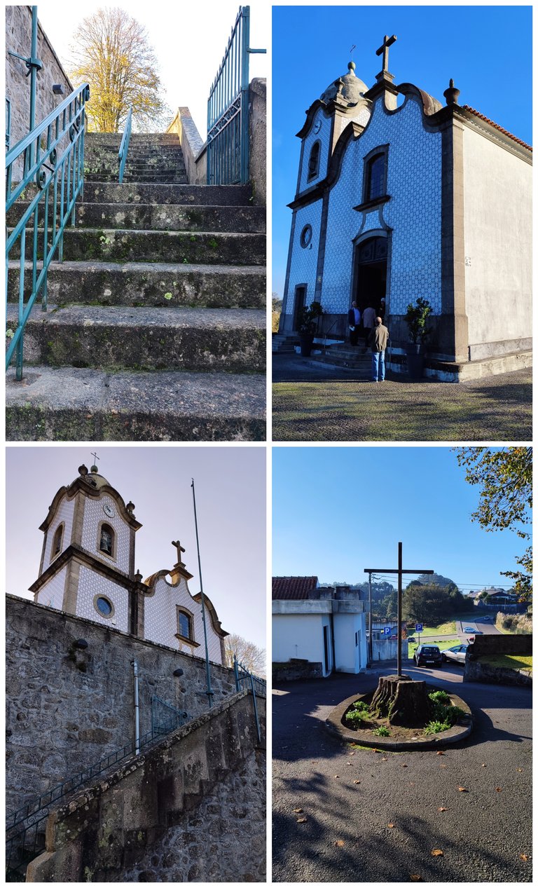
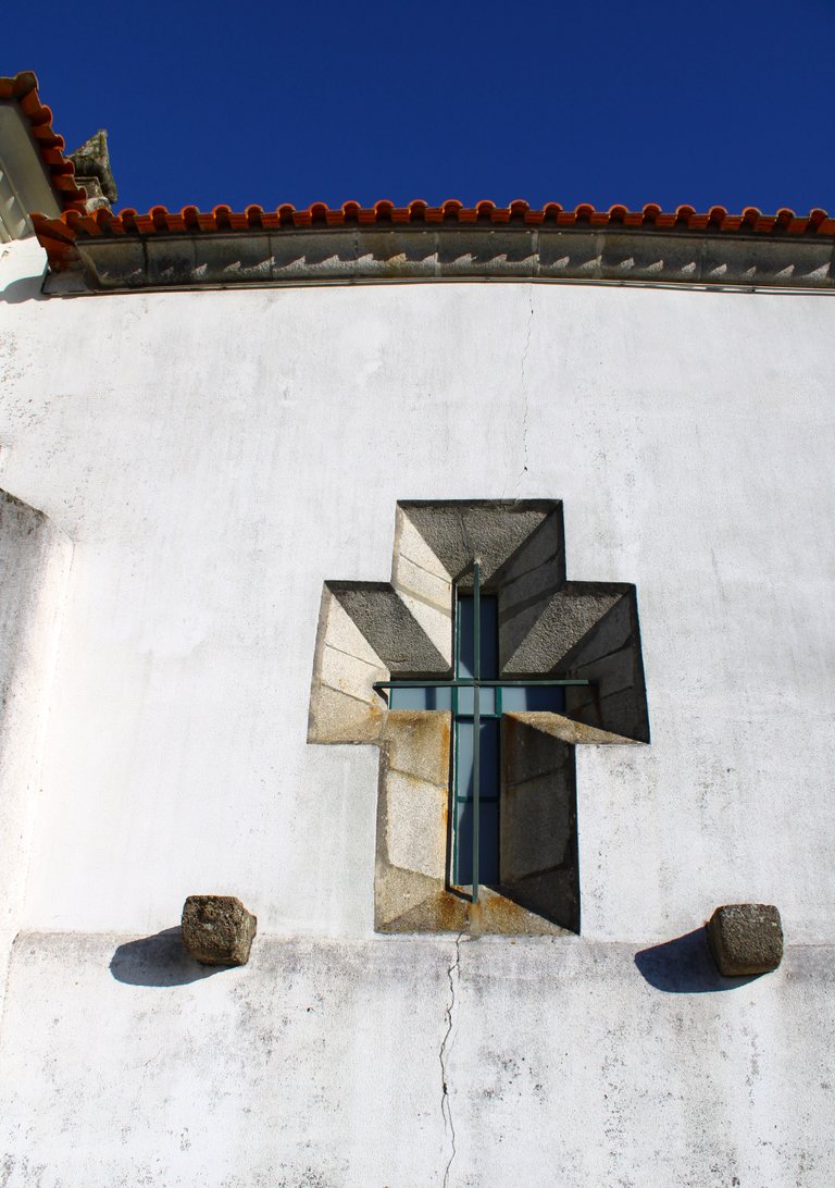
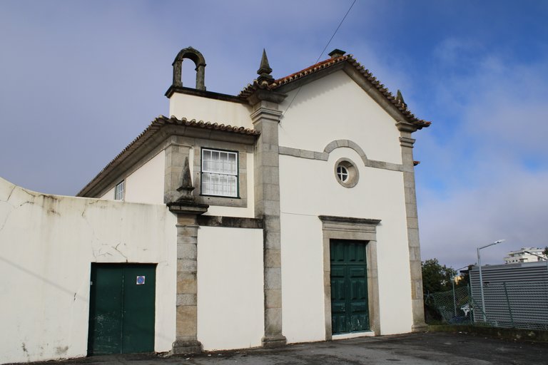
Before explaining a little about the history of the village, I'll introduce you to the parish chapel. As you can see, its beautiful architecture is a mix of various styles, including Baroque and Gothic, among others! It dates back to the 18th century, but is not as old as the village itself and can be visited on mass days, which are usually on Sundays! I didn't want to go in because mass had already started. Behind it is a rather old cemetery with tombstones from the 17th century and important people.🌍🏰
Antes de explicar un poco la historia de la aldea te presento la capilla parroquial, como puedes ver su hermosa arquitectura es una mezcla de varios estilos incluyendo barroco, gotico entre otros! data del siglo XVIII no es tan antigua como la aldea y puede ser visitada los dias de misa que normalmente son los domingos! no quise entrar ya que la misa habia comenzado, detras esta el cementerio bastante antiguo con lapidas del siglo XVII inclusive de personas importantes.🏫
http://www.monumentos.gov.pt/site/app_pagesuser/sipa.aspx?id=19979

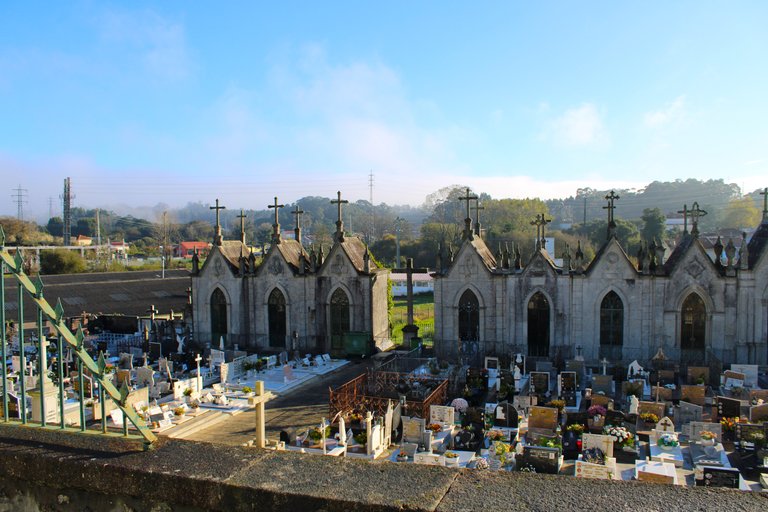
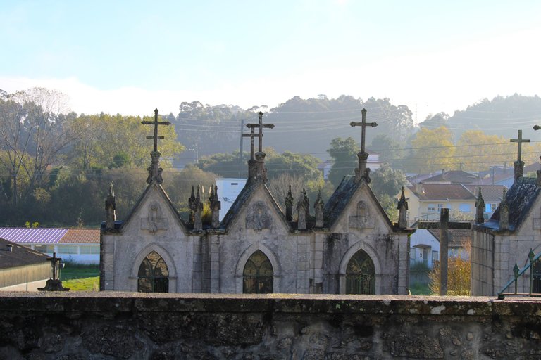
I thought the village was from the 15th century, post-medieval era, but in reality it dates back to the same medieval era, that is, the village already existed in the 11th century. It is interesting to see the cemetery because there are some tombstones that date back many centuries. It is clearly not permitted to photograph a tombstone in many cemeteries in Portugal, but I invite you to see how beautiful some of them are.🏰🌍
Pense que la aldea era del siglo XV post era medieval pero en realidad data de la misma era medieval osea en el siglo XI ya la aldea existia, es interesante ver el cementerio porque hay algunas lapidas que datan de muchos siglos atras, claramente no es permitido fotografiar una lapida en muchos cementerios de Portugal pero te invito para que veas lo bonita que son algunas.👸🏻🤴🏻

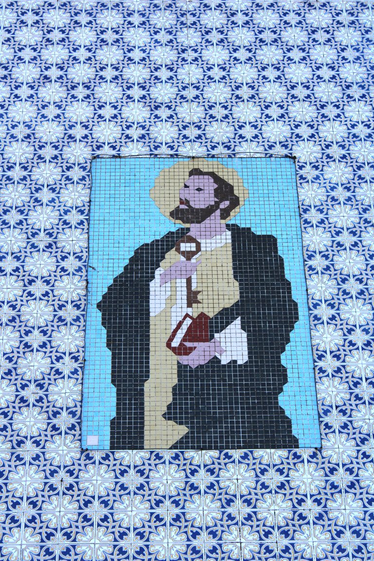
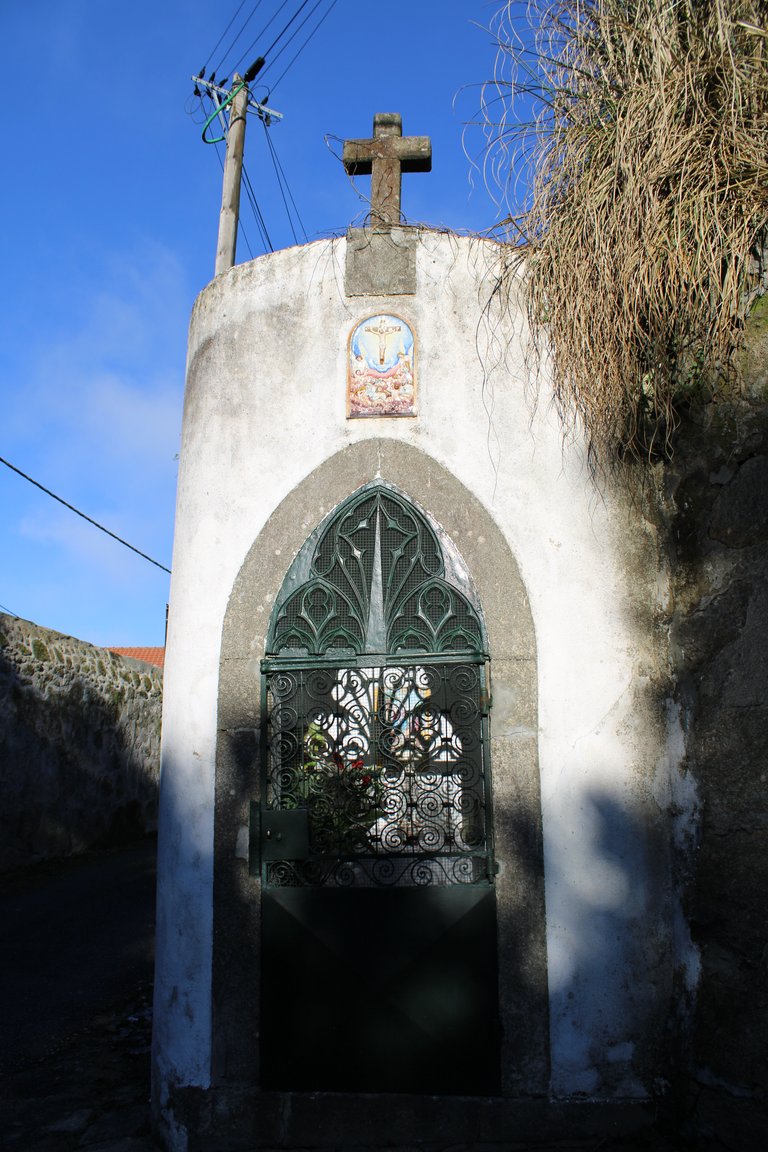
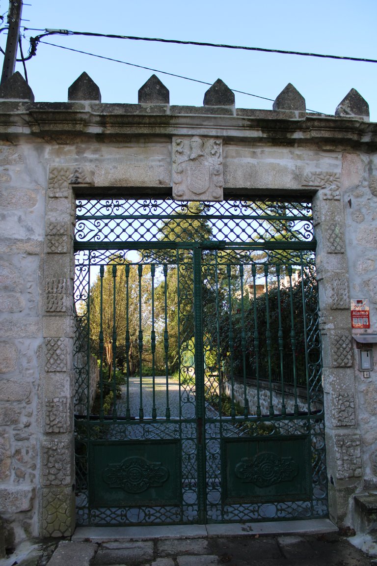

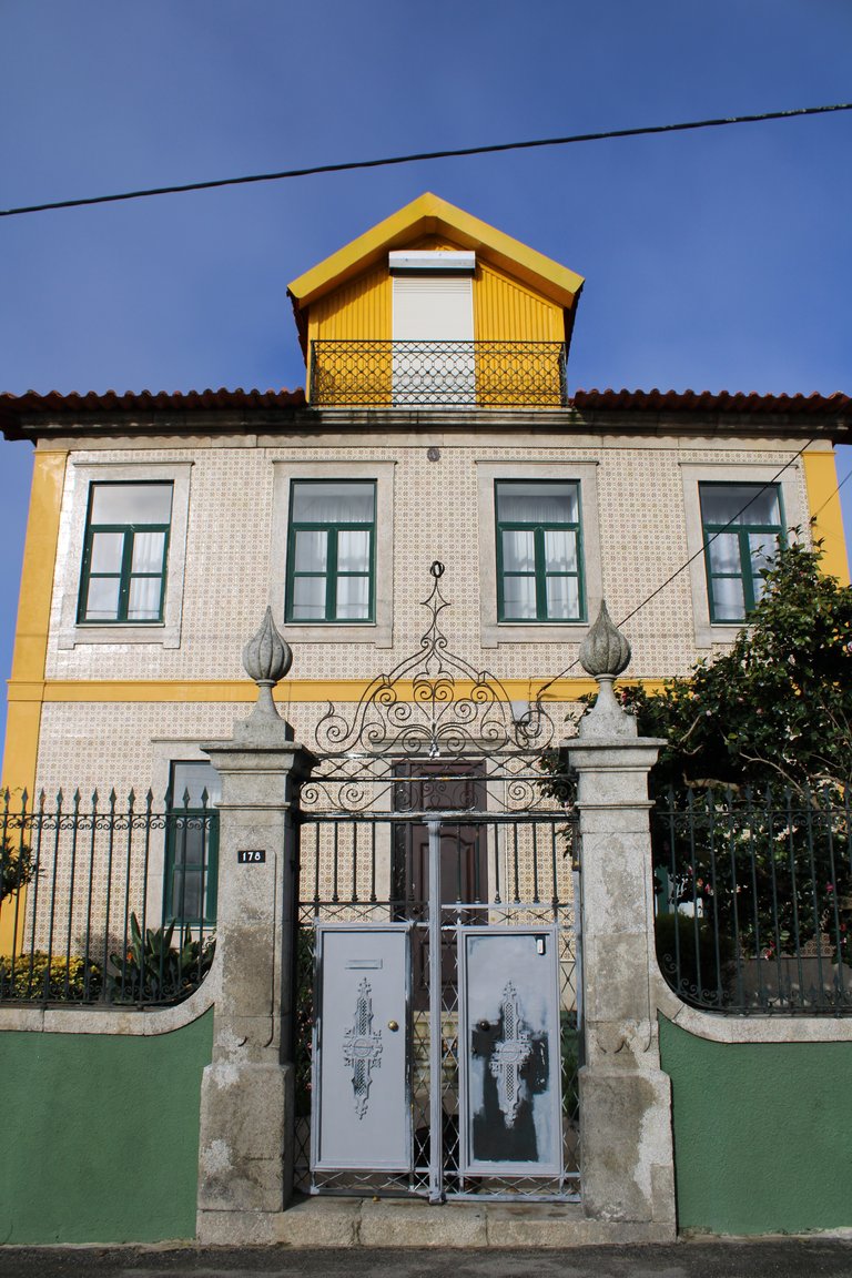
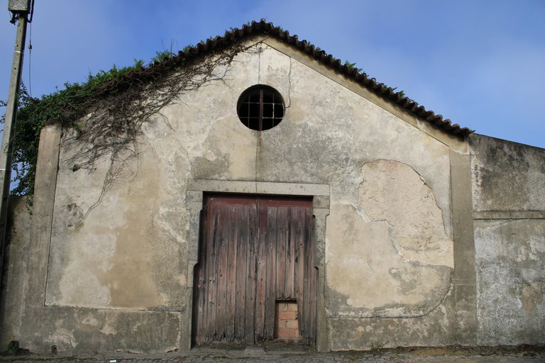

There is a legend in one of the houses of this town that there was a woman who married a soldier of the crusades, after a while her husband and the servant died leaving the woman alone and abandoned, apparently in that house or in the streets you can hear the screams and cries of the woman.🏰🌍
Existe una leyenda en una de las casas de esta villa que fue una mujer que se caso con un soldado de las cruzadas, al tiempo muere su esposo y el sirviente quedando la mujer sola y abandonada, aparentemente en esa casa o en las calles se escucha los gritos y llantos de la mujer.👸🏻🕌


Balteiro village🕌⛰️/Balteiro aldea🌎🧭
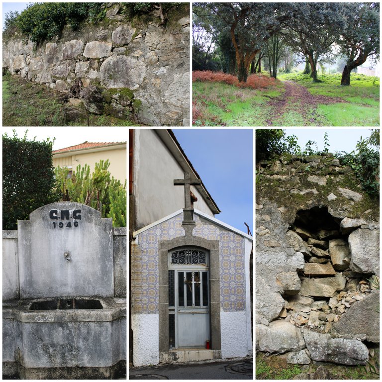
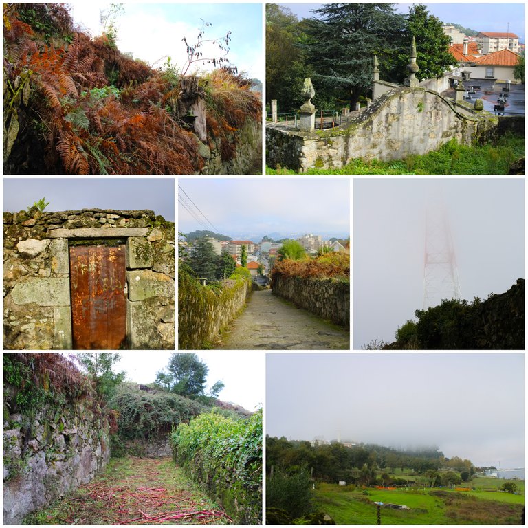
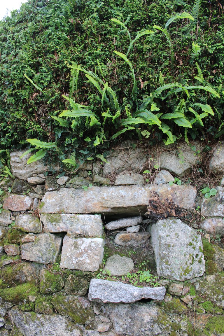
A path between stones🧭🚩
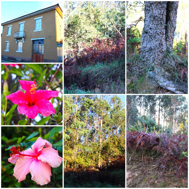
We see that we went from a village with beautiful houses and palaces with tiled architecture to another more isolated village with lots of vegetation and quite old roads. Up to this point I had to walk about 6km and I have 3 left to reach the river where we almost completed the walk.🧭📸
vemos que pasamos de una aldea con hermosas casas y palacios con arquitectura de azulejos a otra villa mas aislada con mucha vegetacion y caminos bastantes antiguos, hasta el momento debi caminar unos 6km y me faltan 3 para llegar al rio donde casi completamos la caminata.📸

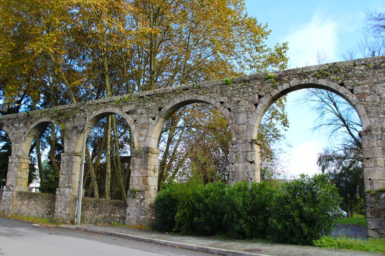
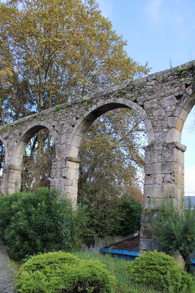

In Avintes, in the central town, we will pass by this beautiful aqueduct! They normally date from the 18th century and are very well preserved.🚩⛰️
En Avintes en el casco central pasaremos por este hermoso acueducto! normalmente datan del XVIII, esta muy bien preservado.🏰

Avintes village🕌⛰️/Aldea de Avintes🌎🧭

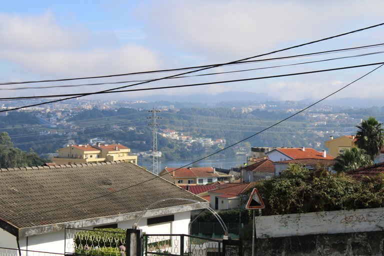
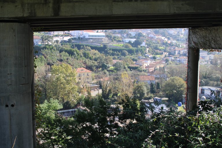
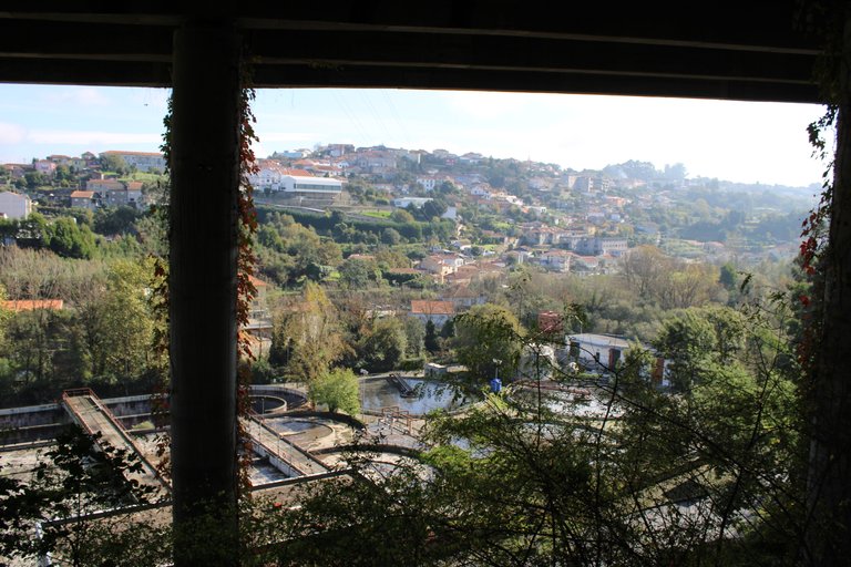
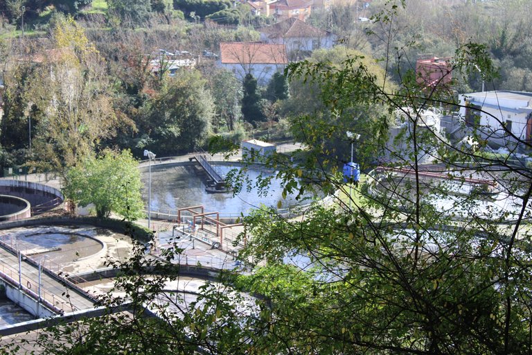
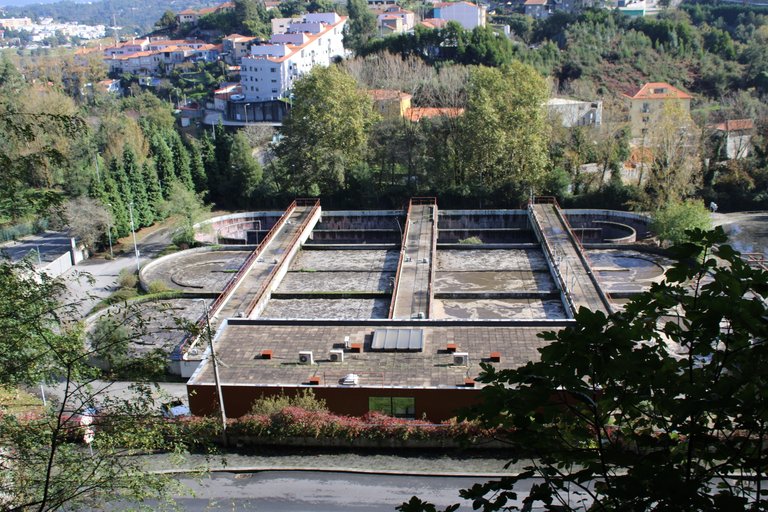
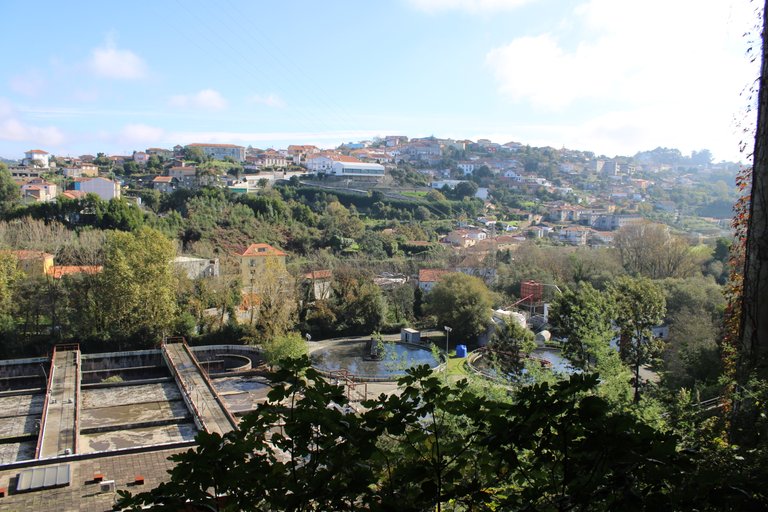
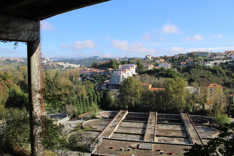
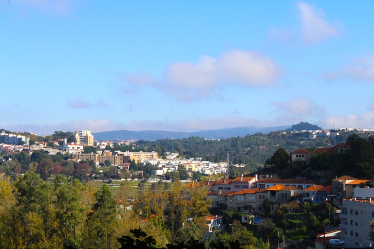
Now we are going to go down because we have to go towards the river, as you can see we are at a considerable height and when we enter the town of Avintes we are literally at 0 height, I would say that it is not a town, it seems more like a city, it is very big.🚩🏫
Ahora vamos a bajar pues tenemos que ir hacia el rio, como puedes notar estamos a una altura considerable y es que cuando entramos a la villa de Avintes estamos en literalmente 0 altura, diria que no es una villa parece mas una ciudad es muy grande.🌎🧭


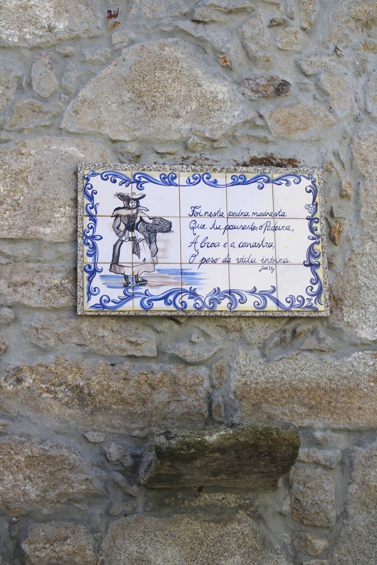
And we arrived at the edge of the village where the Febros River begins, which is a branch of the Douro, the main river in Porto! This part is very interesting, it looks like a small medieval village with rivers.🚩🏰
Y listo llegamos al limite de la aldea donde comienza el rio Febros que es una ramificacion del Douro el principal rio de Porto! esta parte es muy interesante parece una pequena aldea medieval con rios.⛰️🌍

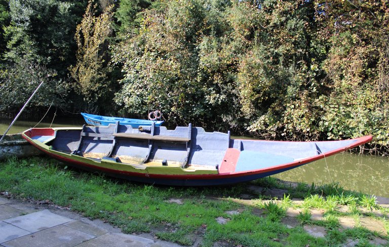


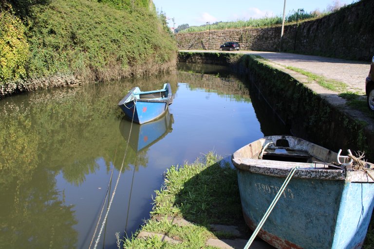
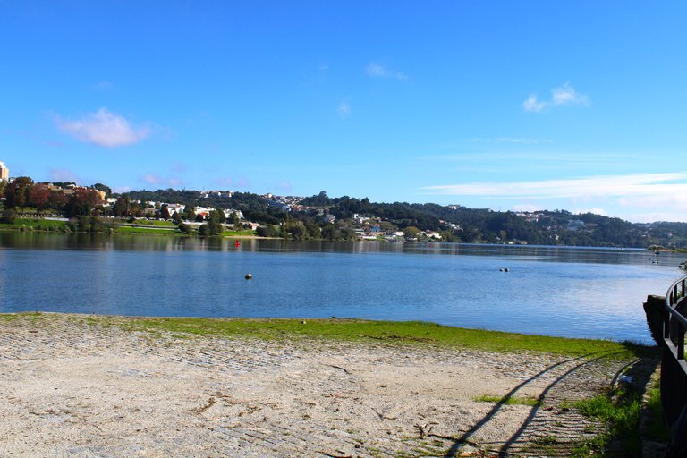
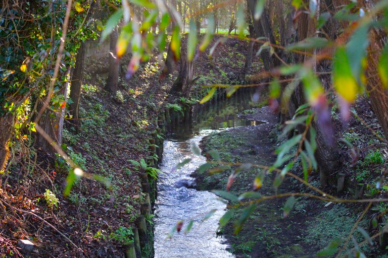
This is the river "Febros" which is the protagonist of our trail and will accompany us from now on for the remaining 2km of walk. The river "Febros" is very important for the activities of the people who live in the parish of "Vila Nova de Gaia" because for hundreds of years the river was used for agricultural activities or sport fishing. Previously, trout could be caught here but due to pollution they became extinct in the river and now only a few species are found that are not at all appetizing to eat.🧭🌎
Este es el rio "Febros" el cual es el protagonista de nuestro sendero nos acompanara ahora en adelante en los 2km que nos restan de caminata, el rio "Febros" tiene una gran importancia para la actividad de las personas que habitan la freguesia de "vila nova de gaia" ya que por centenas de anos el rio fue usado para actividades agricolas o pesca deportiva, anteriormente se podia pescar truchas aqui pero por la contaminacion se extinguieron en el rio y ahora solo se encuentran unas especies nada apetecibles para comerlas.🌍⛰️


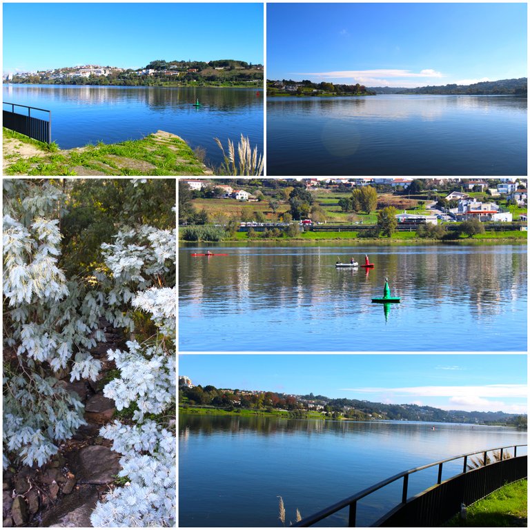
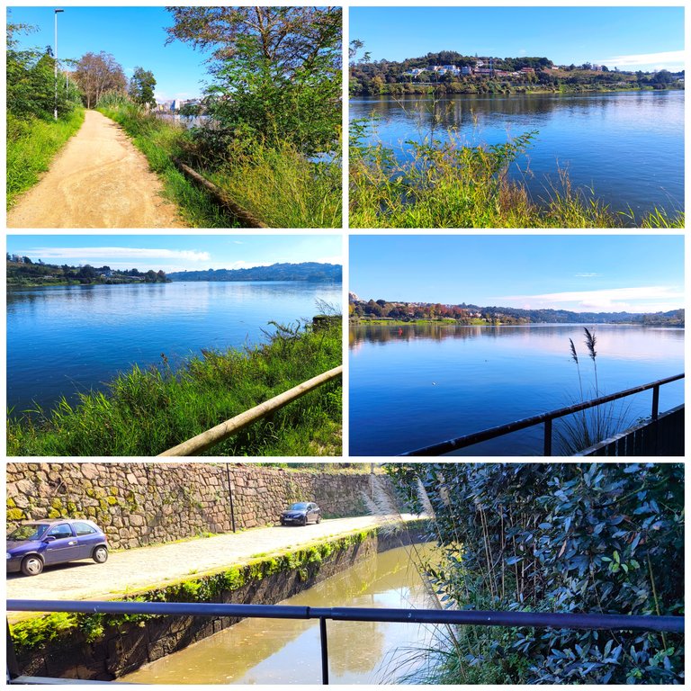
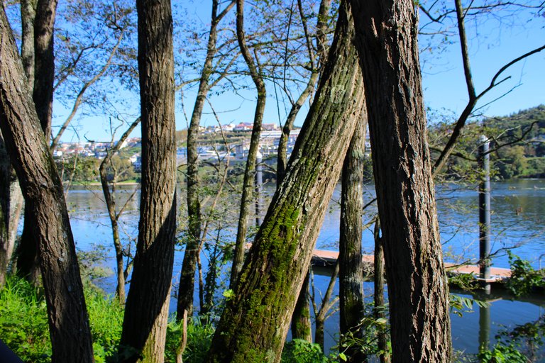
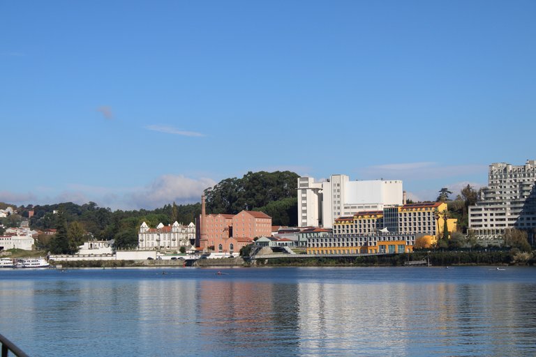
We have literally already walked the entire length of the trail and now we are going to a small viewpoint where we can see the city of Porto along with its main bridge.🧭
Literalmente ya hemos recorrido todo el trayecto del sendero ahora vamos a un pequeno mirador donde podremos ver la ciudad de porto junto con su principal puente.🌎👩🏻🦯

Viewpoint over the city of Porto⛰️/Mirador a la ciudad de porto🌎🧭
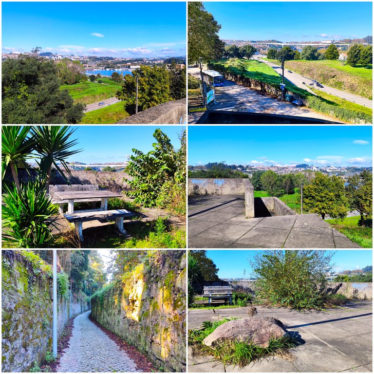
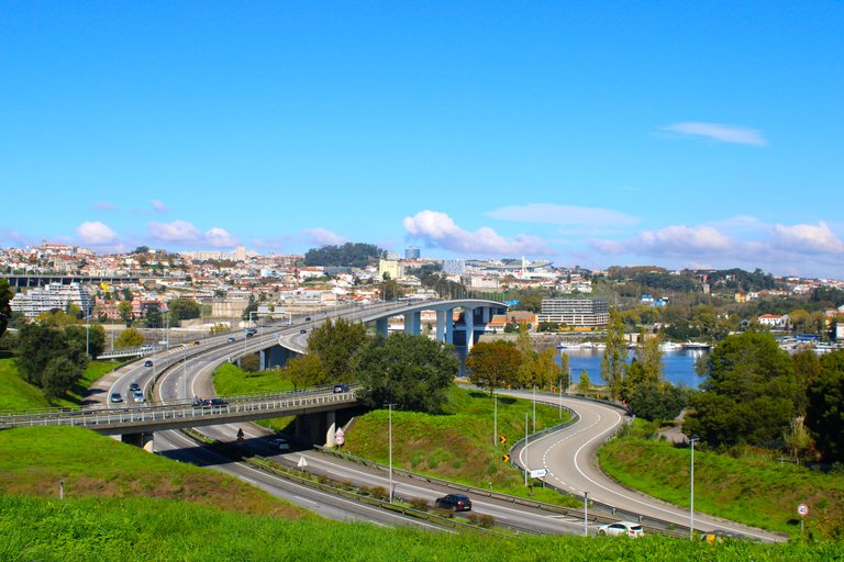
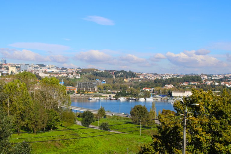
Well friends, my adventure ends here. I hope you enjoyed the walk through all those villages. As you could read, some of them already existed in the 11th century. My next step is to sit here and enjoy the scenery and the nice sun!🧭⛰️
Bueno amigos aqui termina mi aventura, espero les haya gustado la caminata por todas esas aldeas, como pudieron leer algunas de ellas que ya existian del siglo XI, mi proximo paso es quedarme sentado aqui y disfrutar del paisaje y del buen sol!🌍🚩


DNA is an organization to foster and DENSIFY NATURE-APPRECIATION which aims to establish REPORTS OF BIODIVERSITY DATA that is contributed by all of us Hiveans and subsequently cataloged.
Therefore DNA searches for HIGH-QUALITY posts that aim to DESCRIBE and determine the BIODIVERSITY AROUND YOU with added EXPLANATIONS and INFORMATION. For these informative posts they offer a CURATION SERVICE using the @dna.org account. It is also a CURATION TRAIL. Just add the #dna TAG if you think that any of your posts is what they are looking for.
THANKS FOR READING ME (PHOTOS AND VIDEOS OF MY PROPERTY) / GRACIAS POR LEERME FOTOS Y VIDEOS DE MI PROPIEDAD🙂🧠🦾👍






You can check out this post and your own profile on the map. Be part of the Worldmappin Community and join our Discord Channel to get in touch with other travelers, ask questions or just be updated on our latest features.
Hiya, @lauramica here, just swinging by to let you know that this post made it into our Top 3 in Travel Digest #2378.
Your post has been manually curated by the @worldmappin team. If you like what we're doing, please drop by to check out all the rest of today's great posts and consider supporting other authors like yourself and us so we can keep the project going!
Become part of our travel community:
😍🇵🇹👋🤩🔥
Wow! Portugal is this beautiful. I wish I could visit the place. Good day, friend
thanks😀