Geographic information systems in the agricultural sector.
(Edited)
Dear readers, with the use of technology it has been possible to facilitate and organize many activities in the agricultural sector, one of the most useful tools for agricultural production units and / or any agency that is responsible for carrying relevant data from agricultural areas, are the geographic information systems, is a tool that allows us to collect geographic data such as land use, bovine diseases in the area among other important information that will allow us to deduce what may be the possible causes of the phenomena that are present.

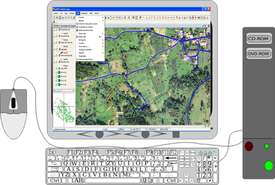
In this sense, let's start by defining in a clear and simple way how a geographic information system is composed, starting from what is pointed out by Perez (2010), who defines it as a set integrated by computer and software technological elements that allow the collection of geographic data such as watersheds, climate, soil type, among other elements of interest, such information can be collected through equipment that integrates GPS, to have the exact location of the information collected, then such information is analyzed by specialists in the area.
An example of the above was the agricultural census that was carried out in Venezuela in 2007, the government wanted to update the information corresponding to the agricultural sector throughout the country, to execute it the Ministry of Agriculture trained a group of professionals to handle a portable device that integrated a series of questions related to the roads of the sectors, education of families, agricultural crops planted, vaccination of cattle herds, land area and other elements. This information was compiled in the software that made a kind of zoning with precise information.
The information enabled government agencies to carry out activities for the agricultural sector in a more organized manner, for example, during the periods corresponding to the vaccination cycles, qualified personnel used the geographic information system to draw up a sort of route with information on the sectors with the largest number of cattle and the livestock production units, which undoubtedly facilitated the work.
These information systems are also used from the epidemiological point of view by some institutions in charge of solving problems related to certain bovine diseases, for example, in the event of an outbreak of a disease of economic importance for the region or that can affect public health, the sector can be quickly identified through digitized cartography. It is also possible to collect information on the phenomenon that occurred, such as the date of appearance of the disease and the number of animals affected. This information is used to generate a database that will allow the evaluation and establishment of an area with a specific radius to prevent the massive spread of the disease.
Among the advantages of these information systems are the following:
- Allows the spatial location of the study phenomenon.
- Allows the organization and updating of data in agricultural areas.
- Allows for the generation of productive indicators, livestock density, type of agricultural item, among others.
Finally, dear readers, these are tools that allow you to organize the necessary information on any phenomenon of agricultural interest and thus expedite the necessary solutions, in the case of being used in the epidemiology of animals, you can view the events in animal health in specific areas knowing the characteristics of the areas where it is evident, facilitating decision-making on potential public health problems, or in the case of planting agricultural crops allows you to know the characteristics of the soil in different areas and can organize the type of crop that can be planted.
Thank you for staying with me until the end.
| Bibliographic references |
|---|
- Perez, A. (2010). Geographic information systems and their uses. ASODEGA. Universidad de los Andes.

From agrotecnia we reiterate our gratitude to our followers and all the communities that value our agricultural content, this commits us to continue sharing quality information with the whole hive.


0
0
0.000
This kinds of applications is really useful to agriculture.
Btw, I just remembered that they say that the internet is initially developed for military and agricultural applications. :)
!1UP
Hi @thecuriousfool, no doubt it is of great help for agriculture, it facilitates the collection of data that will be useful in the future, in case of any eventuality.
See you later, have a great week.
Have a great week too. :)
You have received a 1UP from @thecuriousfool!
@stem-curator, @neoxag-curatorAnd they will bring !PIZZA 🍕
Learn more about our delegation service to earn daily rewards. Join the family on Discord.
Thank you for your support dear friends!
Thank you very much for this enlightenment @amestyj .
GIS is very vast and applicable in all areas of study because of where the world 🌎 is tilting to..(technology).
I'm actually a GIS intern, who utilise the ArcGIS, Qgis and also produce a webmap... and from my knowledge so far, I have its versatility.
Keep the good job 👍 @amestyj