WaterLovers: The Census... and The Aquifers
Hello Steemians!
Today I will share my first post - perhaps - of a more or less long series. #WaterLovers, I'd like to call it.
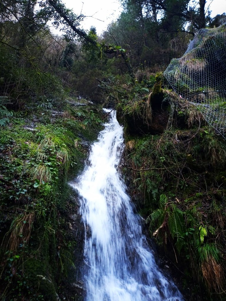
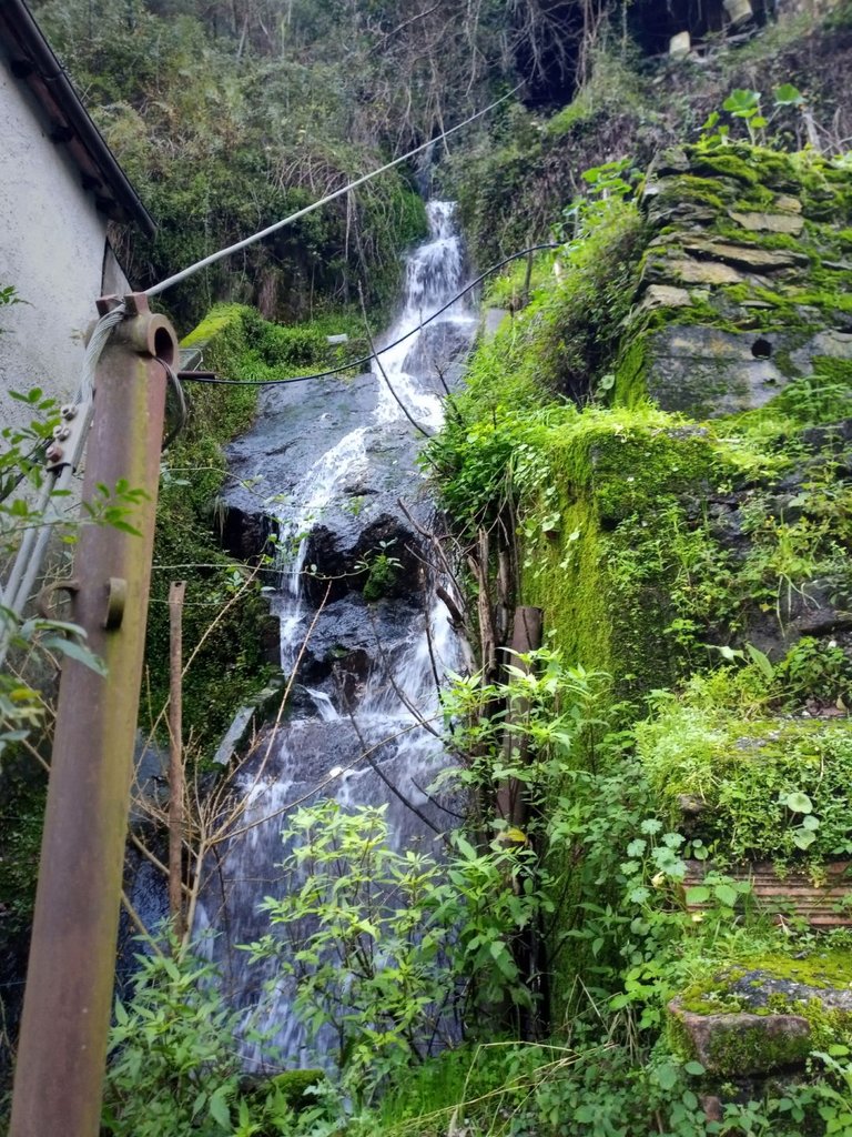
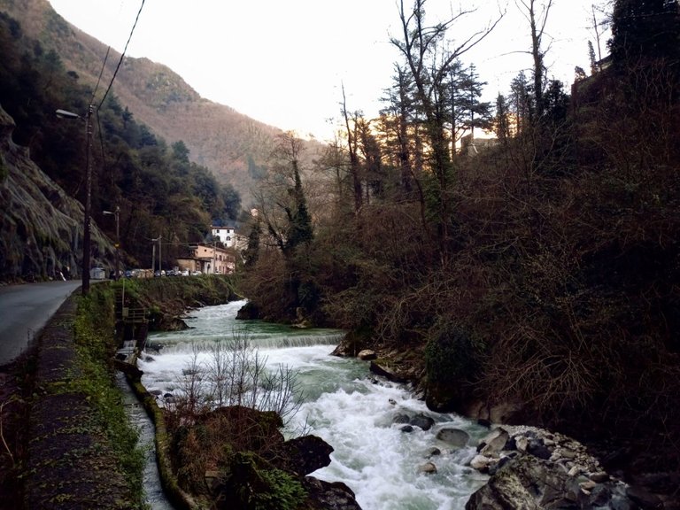
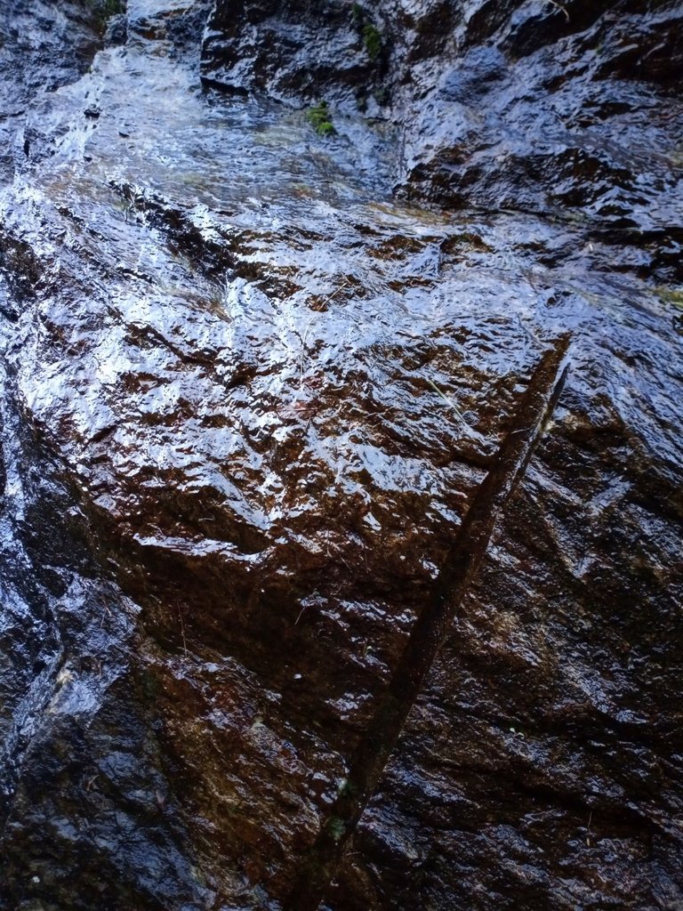
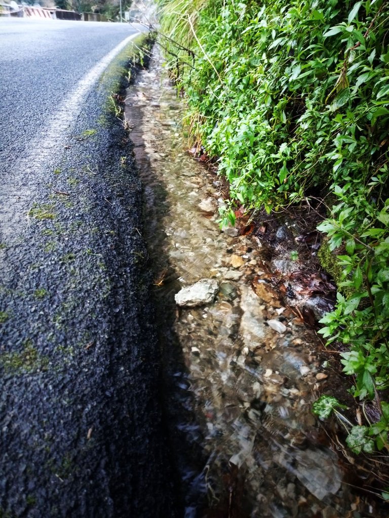
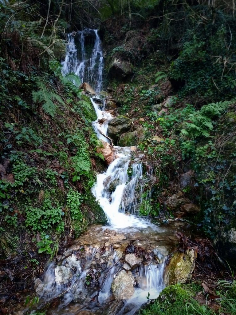
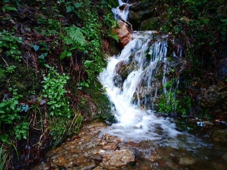
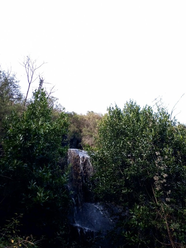
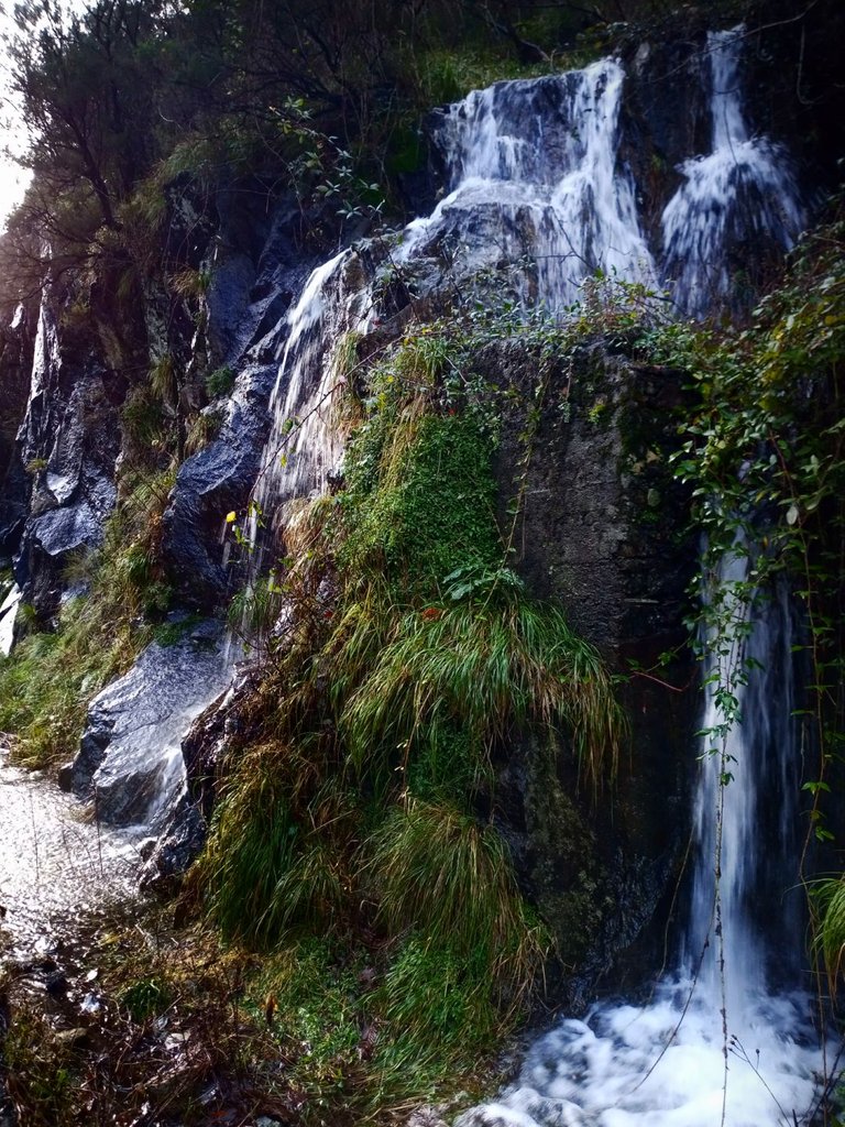
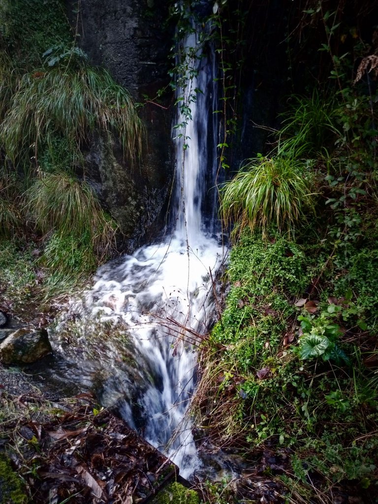
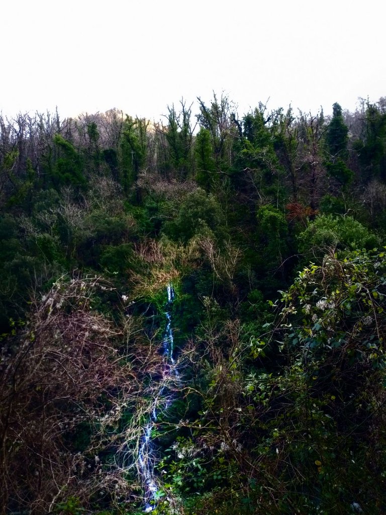
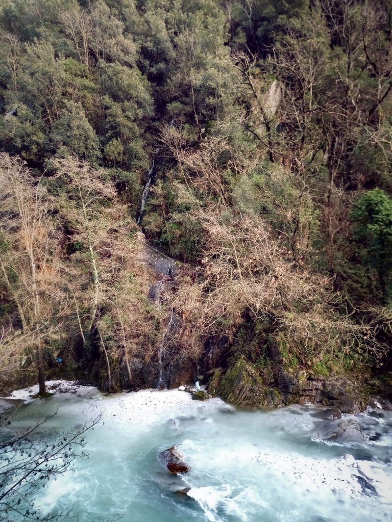
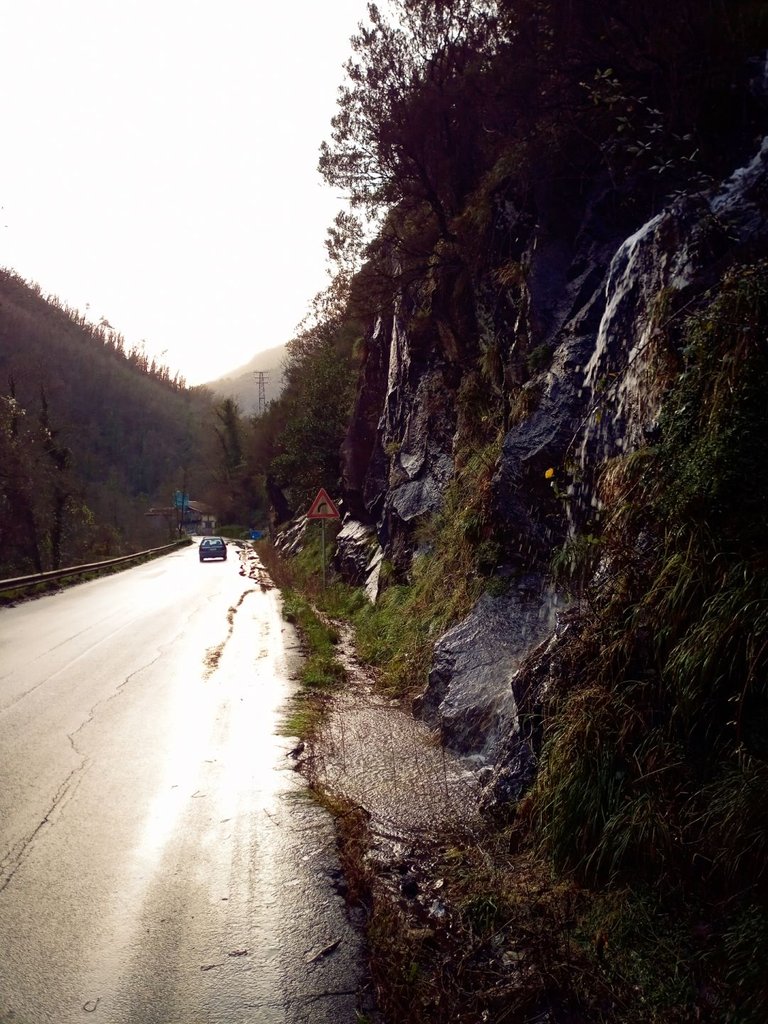
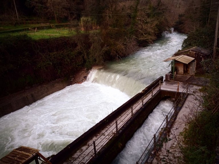
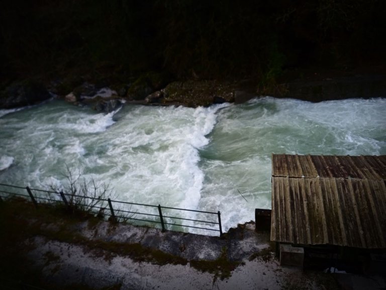
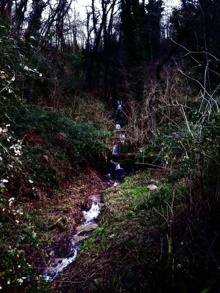
Yesterday I was biking slowly towards Forno, along the Frigido Valley. The surrounding mountains were full of improvised streams of water that form regularly when it rains ... a moment, but yesterday it didn't rain ... so where did the water come from?
We follow a logical thread: when it rains, the water rushes to the earth, crosses the rivers and ends in the sea. The rivers are really swollen, streams form on the mountains and so on. Then it stops raining ... but the water continues to be there and to descend from the mountains much more abundant than usual. The hours go by. Water continues to be present in quantity. More hours pass and the water shows no sign of diminishing. Yet he had stopped poor ... question:
Where does the additional water we see after it stopped raining come from? Let's start from the beginning.
THE AQUIFERS
Under the surface layer of the earth, there are real reservoirs of water, the so-called aquifers. After noting the amount of water yesterday I did a quick search on the aquifers and found that they can be of 2 types: the aquifers and the artesian aquifers. The firsts are the simplest, they are formed through the flowing water and sometimes settles between the porosities of the rocks. Yes, because some types of rocks are porous and are called reservoir rocks or aquifers rock because the water is deposited between their interstices. The water tables are separated from the outside only by a layer of soil and aquifers. The artesian aquifers, on the other hand, are strata that have a layer of impermeable soil above them.
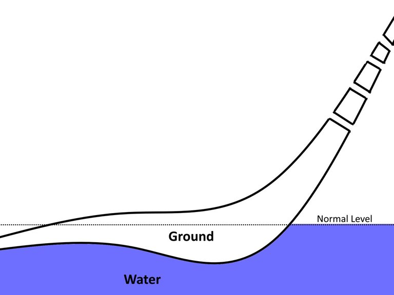
The simplest scheme that came to my mind is the following and it is partly what happens.
The aquifer normally has water inside it and we can see the highest point that the water reaches as the normal level. When it rains and the water permeates, the level begins to rise and the aquifer fills up more and more. But the aquifers are not found only in the plains, they extend throughout the subsoil; within the mountains made up of permeable types of rock, such as limestone or dolomies, there are long stretches between rock and rock that are permeable to water. These stretches open to the outside but are normally never used because the water level does not reach the altitudes where they are present.
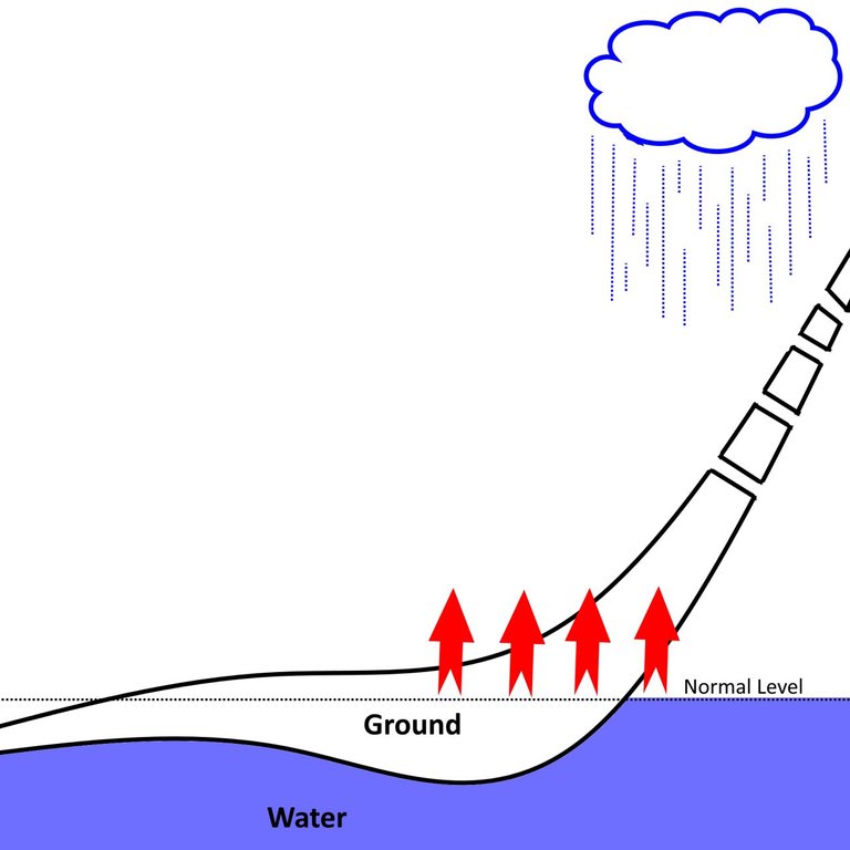
When it rains, the water level in the aquifer begins to rise and we can schematize what happens simply by thinking that the water level rises beyond the points where these outlet channels are located. The water in the aquifer thus finds an exit point from the subsoil and what are 2 types of springs are formed: the emergency water source and the overflow water source. The overflow water sources are those springs that do not exist until the water level in the aquifer rises above the normal limit; the emergency ones are formed when the thrust of the water in the fault causes the above ground to be cut.
___
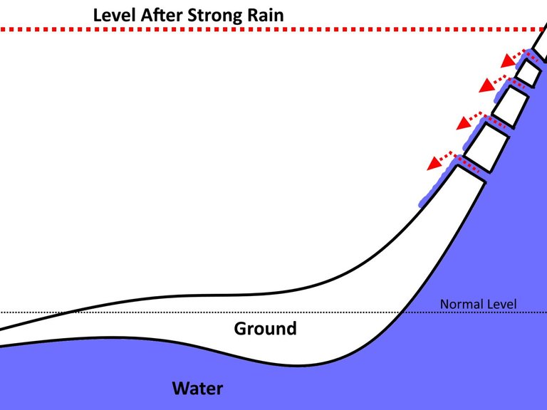
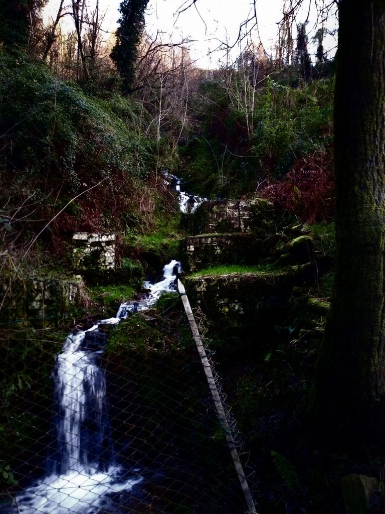
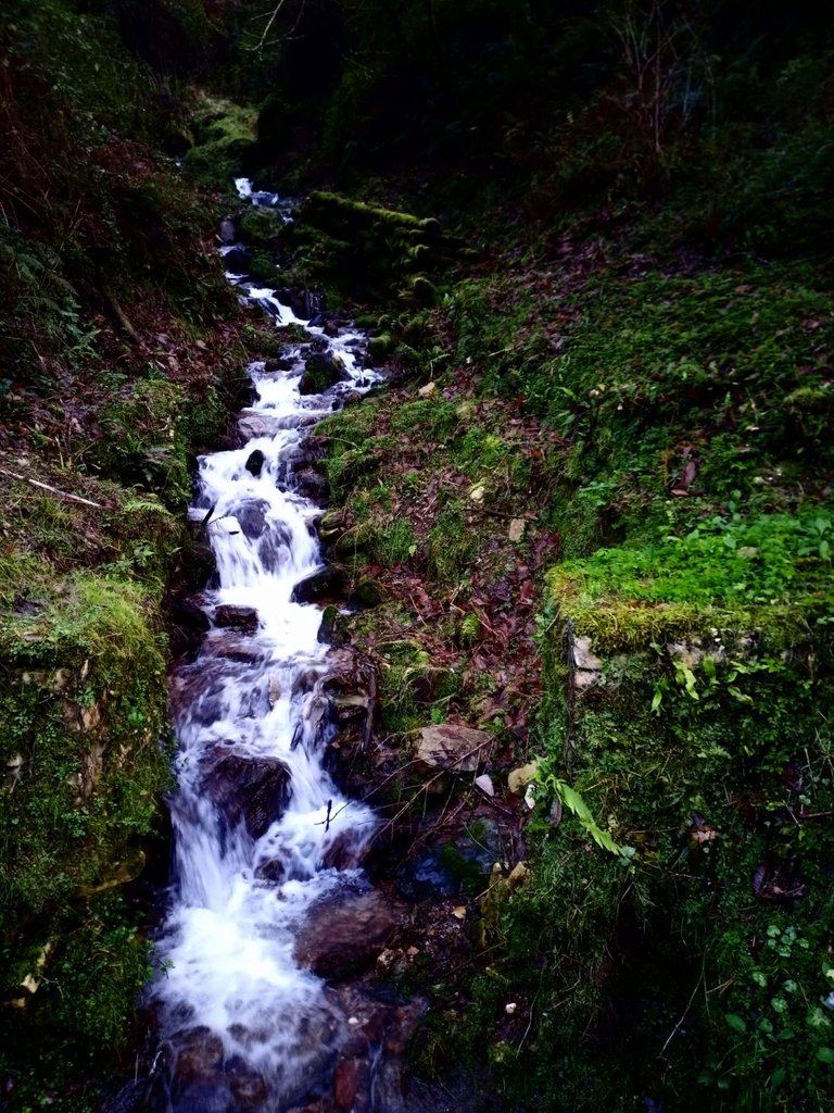
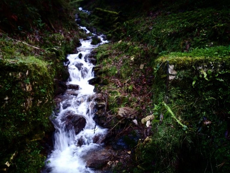
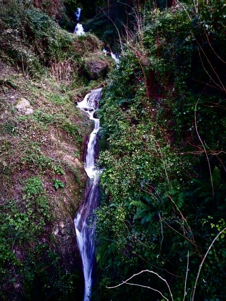
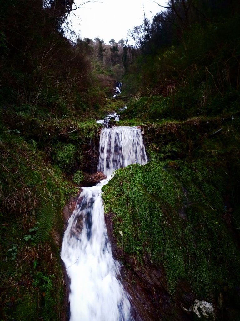
I tried to schematize everything with the help of the last 3 images.
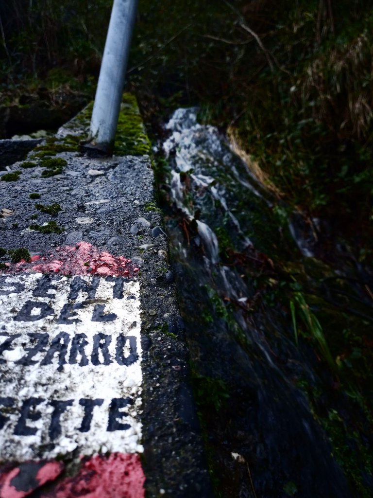
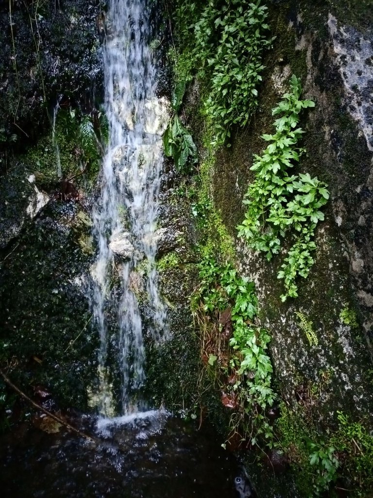
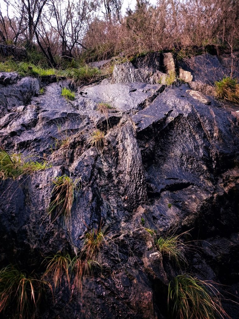
I spent the rest of my trip making a census - of course, I jokingly say - of the various streams along the mountain that flow into the main bed, that of the Frigido River. Some are normally present courses, but now much more impressive. My area is full of these streams, however small they are. The conformation of the rock in these parts is that of porous rocks that we have previously described, therefore other streams of water have formed along the mountain and I can assure you that they are very numerous. These are the streams that are never seen in moments of dryness and that we can catalog among the streams flowing from overflow watercourse and in some cases emergency watercourse, according to the mechanism seen above.
My short afternoon ends here, but I plan on releasing a few new episodes later. What I have explained is simply a very banal method to give a face to what happens, all in a schematic way. I will explain another phenomenon involved in the leakage of water from the aquifers in the next episode. I invite you not to take what I have said as the scientific idea of what is happening: it is only a reflection of short research and personal answers to simple curiosities.

I also wrote this post with the intention of associating science and photography. Not sensational photographs except for a few exceptions, but still useful for documenting my trip.
ATTENTION: the photographs contained herein were taken and post-produced entirely by me and therefore covered by copyright.
Questo post è stato condiviso e votato all'interno del discord del team curatori di discovery-it.
This post was shared and voted inside the discord by the curators team of discovery-it
Thank you so 🙂
Grazieeee!!!
Posted using Partiko Android
Thanks for the beautiful insight and information! Have a wonderful Christmas
Thanks to you 🙂
Posted using Partiko Android
Hello,
Your post has been manually curated by a @stem.curate curator.
We are dedicated to supporting great content, like yours on the STEMGeeks tribe.
If you like what we are doing, please show your support as well by following our Steem Auto curation trail.
Please join us on discord.
Many thanks Guys 😁
Posted using Partiko Android
Its just Beautiful! Water is indeed a very strong entity to entice many different emotions.
This post has been appreciated and featured in daily quality content rewards. Keep up the good work.
Thank you, I saw your post. Only, there is a very small problem with the photo you indicated such the cover of my post. I am not so nice 😂
Posted using Partiko Android
very, very beautiful...
Thanks 😁
Posted using Partiko Android
That's called the water table. An interesting publication.
Excuse me, @davidesimoncini. I didn't realize I copied in Spanish.
Thanks, I was unable to translate the correct term, in the Italian language this area is indicated with a much more technical term
Posted using Partiko Android
Water is Life as they say and this is a good educational post my friend.
My father in law is a geologist and he has worked on dams across the country, assessing water levels for the installations of storage pumps.
Unfortunately he is not on steemit, as I am sure that he would have enjoyed your post.
Blessings!
Thank you, I just tried to give some explanation based on the reflections made by seeing what surrounds me. Your father would certainly have been more precise and exhaustive, given his experience 😉
Posted using Partiko Android
Well, you did very well in your description and maybe you have a geographical talent.
I was impressed with your explanation.
Blessings!
Many times thank you, Greetings from Italy 😁
Posted using Partiko Android
Greetings also from South Africa my friend!
This content has earned some GEEK. 20000 GEEK tokens has been transferred to your steem-engine.com account.
Geek Rewards (GEEK) is a steem engine token that rewards content creators for their geeky contributions to the community.
Thanks thanks thanks @qwerrie 😁💪
Posted using Partiko Android
my pleasure!
This post has been voted on by the SteemSTEM curation team and voting trail. It is elligible for support from @curie and @minnowbooster.
If you appreciate the work we are doing, then consider supporting our witness @stem.witness. Additional witness support to the curie witness would be appreciated as well.
For additional information please join us on the SteemSTEM discord and to get to know the rest of the community!
Thanks for having used the steemstem.io app. This granted you a stronger support from SteemSTEM. Note that including @steemstem in the list of beneficiaries of this post could have yielded an even more important support.
Many thanks Guys! 😁
Posted using Partiko Android
A delightful post. I lived for a time in an area between the Hudson River and a small mountain range. The idea of water flowing naturally from a mountain source was natural to me, though of course I understood nothing about aquifers. We followed the stream from highlands down past our house, under the road and further down until it emptied into the river. In spring, when snows melted and rains came, the stream would swell almost over its banks and make a rushing noise I could hear from my bedroom window.
I loved your pictures. They reminded me of 'home'. A lovely description, full of information.
Looking forward to the next installment of this series.
Thank you very much, I enjoy you appreciated. I wanted to explain one of the most simple mechanism due to which the river and the mountains are full of water also when it stops to rain. So, another time thanks! :)
:)