DIY NOAA 15, 18, and 19 Satellite Images with how to - Tuesday
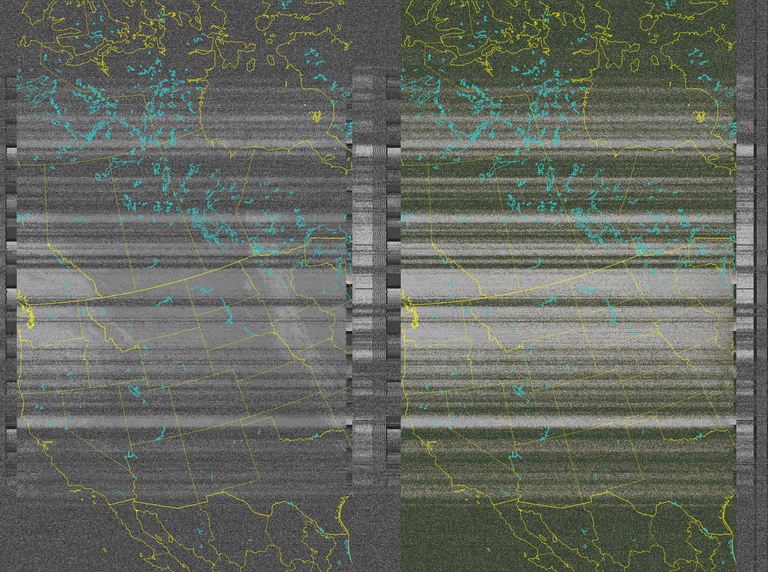
After my adventures in slow scan tv signals from the space station I have found that I am able to pull down the satellite images from the NOAA weather satellites as they pass over every day. Each morning and afternoon they swing by on their orbits a few times such that I am able to record the signal as each one passes. Like I did with the ISS SSTV signal I have a program that I load the audio file into that then decodes the audio into an image. These images are the satellite view of the United States as it orbits over us.
It has taken me some time to figure out how to get better signals and I know it is all part of the bowl the farm sits in. My antenna is surrounded by trees and a hill to the south so my reception is a bit shitty for good clear images. But that doesn't stop me from trying and from enjoying the adventure and challenge.
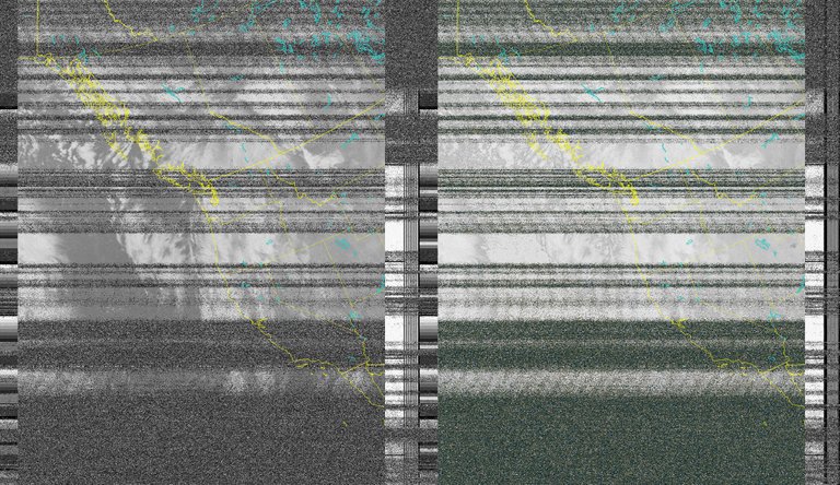
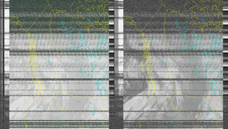
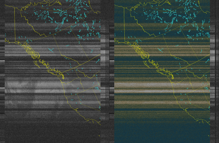
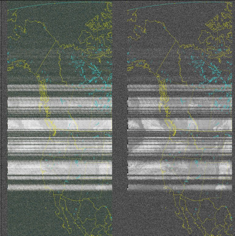
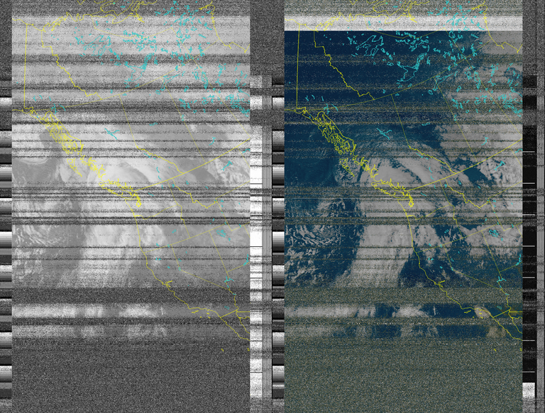
The images are never very clear but I have gotten a few now that are quite good considering the satellite is orbiting over 500 miles overhead. The ISS is orbiting half that distance from earth.
This is the best I have managed so far in quality. I am pretty happy with it and the signal from NOAA 18 came in pretty strong. This image is from yesterday morning at 10:30 am and you can see the storm that is blowing into the pacific northwest and west coast today.
HOW TO
There are a few items needed to be able to do this.
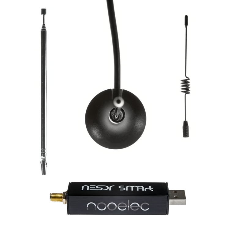
RTL-SDR which is the Software Defined Radio, I have the Nooelec NESDR SMArt
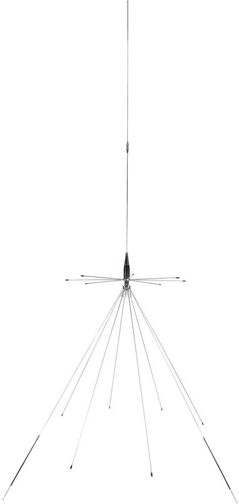
The next Item I am using is a Discone antenna that I use for my Ham Radio as well as the SDR. I have it mounted atop the house but people are able to get a fairly good signal with the included antennas. I got my discone from Amazon - Tram 1411
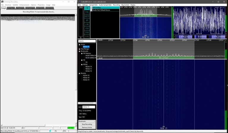
With the SDR the software needed is free to download. There are a number of different programs to do the same thing but I am using CubicSDR which has worked great so far as I can tell. I am not sure if other may record better like SDR Sharp. This is what a NOAA satellite signal looks like in CubicSDR. When the satellite signal is within view I record the audio signal which saves as a .wav file.
The window next to it is WXtoImg which I have open and set to auto record the passes. It then decodes the signal into an image. I have yet to learn fully how to get it to output the images the way the other program I have does, so for now I use 2 different decoding programs. WXtoImg I have set to auto record the audio and then auto process the image so I have 2 different audio files from many passes. Each audio file has a bit different output in the decoding so I like to have each.
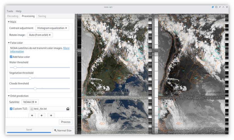
The other program is Noaa-apt image decoder that I load the recordings into. Below is the screenshot from their website.
There are countless satellite tracking websites that will show the time until the different bird is within signal view of your location. WXtoImg also has a pass prediction in it with the auto record function.
Satellite frequencies:
NOAA 15 - 137.6200 MHz
NOAA 18 - 137.9125 MHz
NOAA 19 - 137.1000 MHz
ISS - 145.8 MHz was what I got the SSTV images on.
I am still learning how to do this but it is a pretty simple thing, the hardest part for me has been getting a consistent and clear signal to decode. Your results may vary widely.


^Affiliate/Referral Link^
Signup With my Link and we BOTH get 25K RBN
Fleming Family Farm
FLEMING FAMILY FARM, LLC
Sustainable & Organic Methods | Heirloom Produce
All images are original works of Fleming Family Farm unless otherwise notated and credited.
If you find this post useful or entertaining, your support is greatly appreciated by upvoting, following, and sharing!


#proofofshare
Gab
Twister
https://twitter.com/FlemingFamFarm/status/1346863002012635136
Have you considered sharing this in the STEMGeeks or StemSocial communities? This topic might suit them to a T.
I tipped this post because my vote isn't worth enough to really show my appreciation. In all my astronomy, space, and electronic geekiness mailing lists and forum, I can't believe that I had NO IDEA I could get these signals from NOAA and the ISS. As a Linux user, my OS already has dozens of software packages for dealing with these signals and hardware, and I think I'm going to have to dive right into this bad boy!
Thank you, thank you, and thank you again!
Your welcome! A couple other sites to check out:
https://www.rtl-sdr.com/ Site dedicated to SDR
http://www.websdr.org/ Web based SDRs from around the world with various frequencies available
I used Websdr to follow the ISS around the world to catch all the 12 image signals as well as my SDR and antenna.
Some SSTV sites:
https://www.ariss.org/
https://ariss-sstv.blogspot.com/
https://amsat-uk.org/beginners/iss-sstv/
http://users.belgacom.net/hamradio/rxsstv.htm SSTV decoding software
https://hamsoft.ca/pages/mmsstv.php Another SSTV decoding software
I have found that a bandwidth of 50MHz is about right to fully catch the NOAA signals without having to follow the doppler shift.
There are other brands of SDR out there and some that do much more than mine.