Radiografía de suelo como hacerla. / Soil X-ray: how to do it.
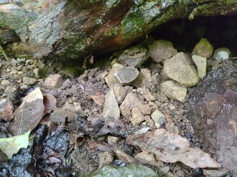
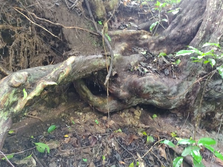
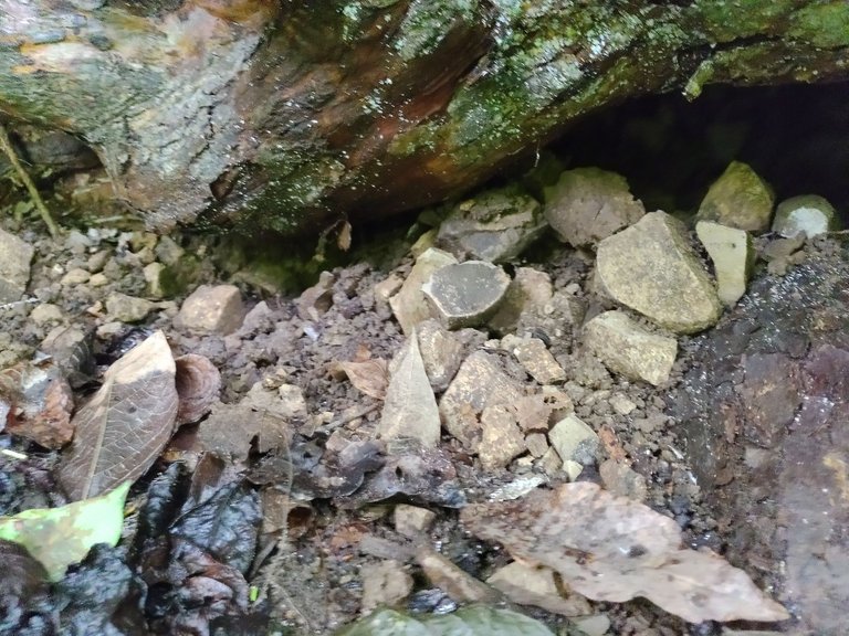
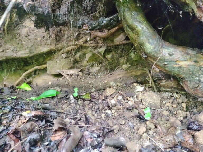
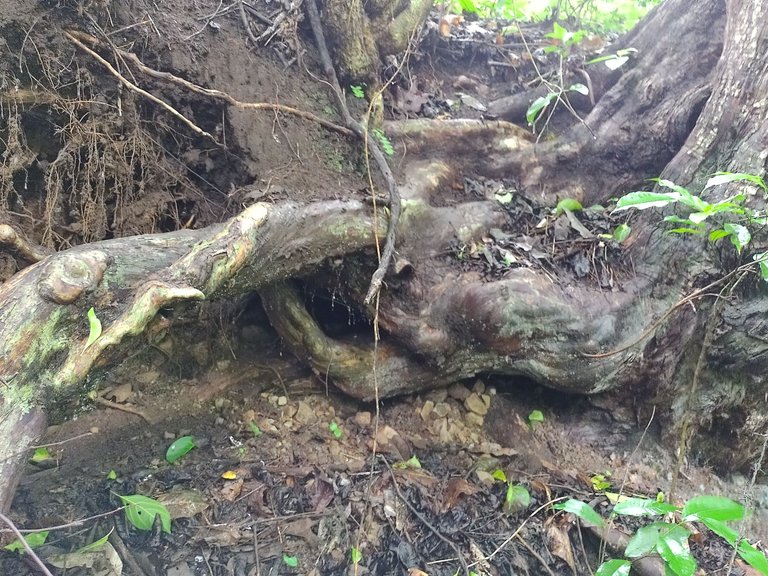
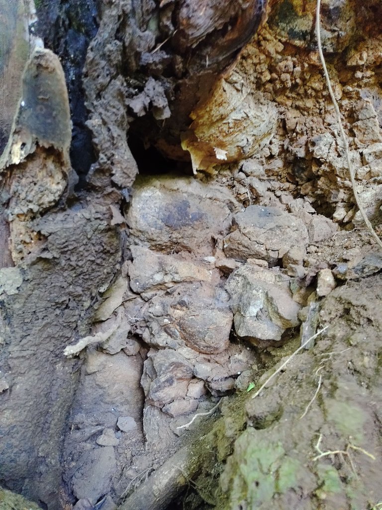
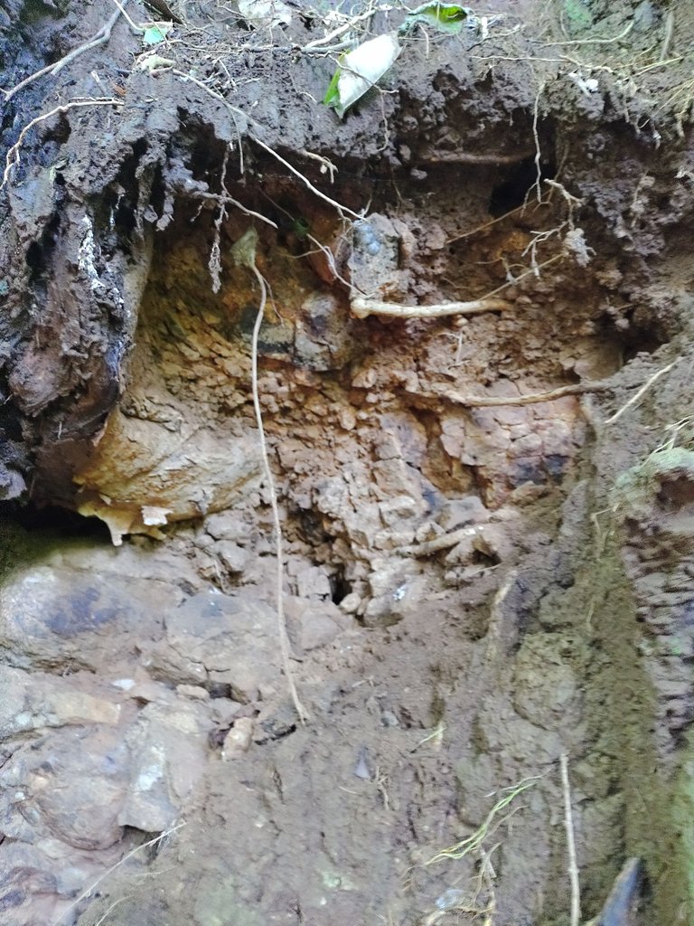
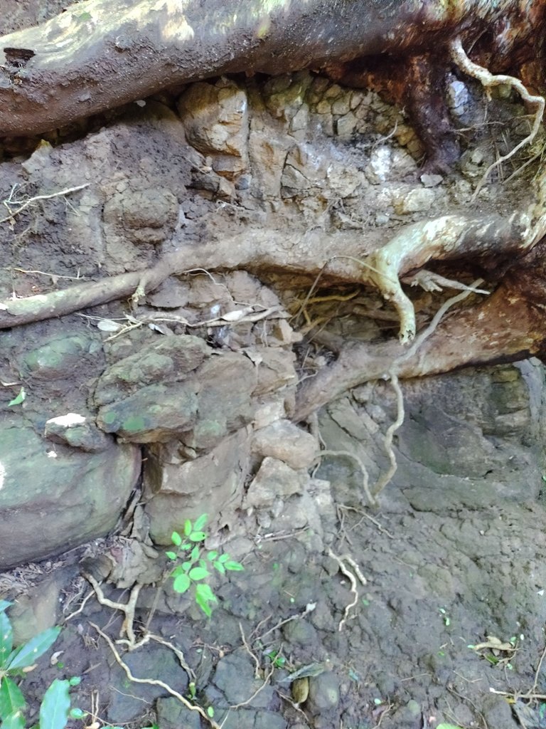
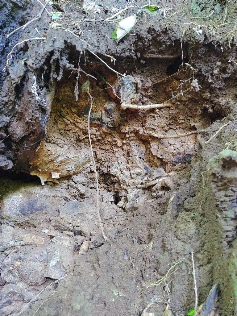
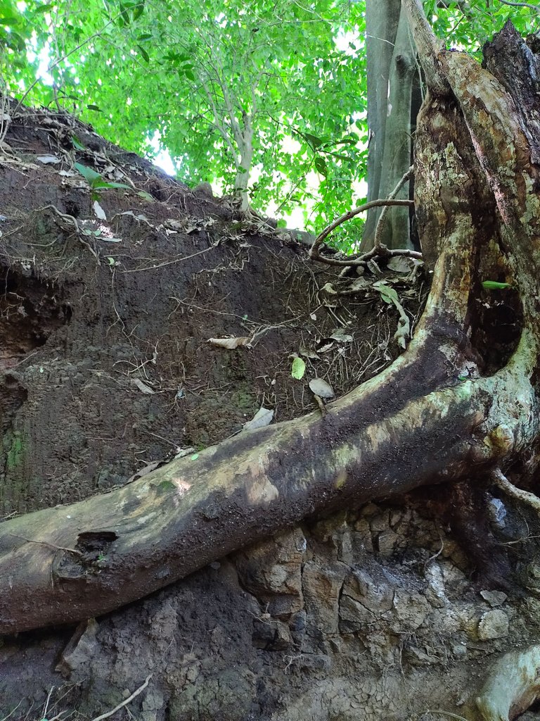
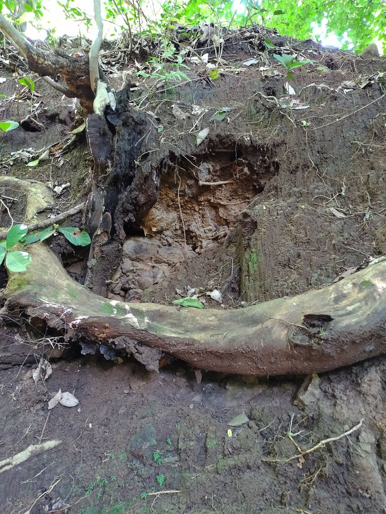
Cuando vas por la montaña puedes tener una idea, de que hay bajo los suelos, y aquí hay una forma de ver que hay en los terrenos y es tan fácil de obtener una radiografía que te dé este conocimiento, basta con ir al acantilado y desde ahí verás que tanto hay bajo las capas del suelo y casi en el subsuelo, especialmente su tienes suelos cercanos a las propiedades circundantes, pero, para que me va a servir este dato, simple si eres un agricultor podrás saber que tanto suelo fértil tienes en tus laderas, que tanto tiempo puede pasar para que la lluvia arrastre tu tierra para dejarte sin nada y volverte un cascajo en el que no puedas sembrar ni cosechar nada, para que más, para tomar decisiones sobre que sembrar, que tan probable es que haya agua en tus suelos, por el tipo de suelo y elementos que lo circundan, usualmente luego de unas piedras de Laja es muy posible que puedas encontrar agua en un yacimiento especialmente hoy que hay problemas de cambio climático y tenemos problemas por la falta de lluvia en todo el mundo.
Debemos tomar acción, la gente pregunta a qué se debe y la respuesta es simple, hay cemento por doquier, construcciones donde sea, casas aquí y allá, y no hay suficientes terrenos con árboles que permitan alimentar el manto freático para que el agua lluvia alimente los subsuelos y capas de mantos acuíferos que van a alimentar los ríos circundantes que alimentan y dan de beber a las grandes ciudades.
Que lo disfruten, es grandioso ver las capas de suelo ver los miles de años de evolución que en estos suelos se pueden ver, y están reflejados en cada capa del manto terrestre, aparte que es bello ver las rocas que ahí están en las capas básicas inferiores.
Gracias por la visita recuerden material propio fotos incluidas, traducción al inglés usando traductor recuerden soy un hablante nativo de español.
English translate:
When you're in the mountains, you can get an idea of what lies beneath the soil. Here's an easy way to get a soil X-ray and gain this knowledge: just go to a cliff and look at what's underneath the layers of soil and even in the subsoil, especially if you have soils near surrounding properties. But why is this information useful? If you're a farmer, you can determine how much fertile soil you have on your slopes, how long it will take for rain to wash away your soil and leave you with nothing, and what to plant. You can also assess the likelihood of water in your soil based on the type of soil and surrounding elements. For instance, it's highly likely that you can find water in a deposit after some Laja stones, especially given current climate change issues and worldwide drought problems.
We need to take action. People often ask why, and the answer is simple: there's concrete everywhere, buildings everywhere, houses here and there, and not enough land with trees to feed the groundwater so that rainwater can feed the subsoil and aquifer layers that nourish and provide drinking water for large cities.
Enjoy the process of seeing the layers of soil and the thousands of years of evolution that are reflected in each layer of the earth's mantle. It's also beautiful to see the rocks that are present in the lower basic layers.
Thanks for visiting. Remember to use your own material and photos. As a native Spanish speaker, I've used a translator for this English translation.
Congratulations @galberto! You have completed the following achievement on the Hive blockchain And have been rewarded with New badge(s)
Your next target is to reach 92000 upvotes.
You can view your badges on your board and compare yourself to others in the Ranking
If you no longer want to receive notifications, reply to this comment with the word
STOPTo support your work, I also upvoted your post!
Check out our last posts: