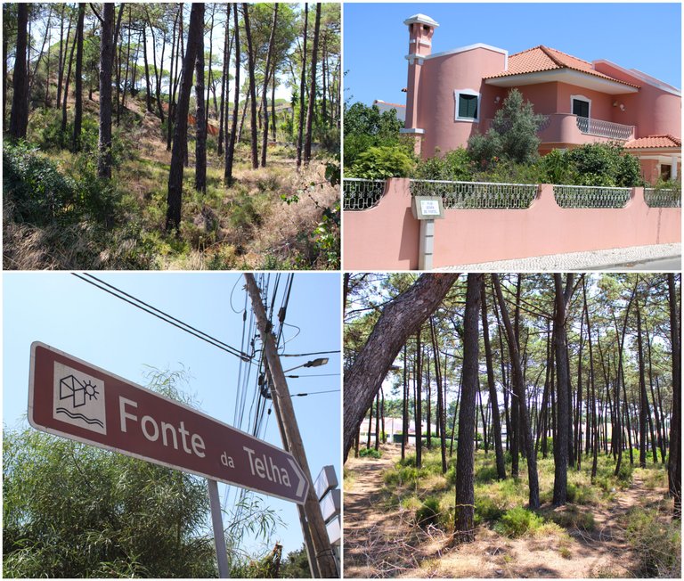
Are you planning to travel to Portugal on your holidays and don't know what to visit? If you love hiking, beaches and nature, then this post is intended to give you the best vacation in Portugal. To do so, I walked to "Fonte Telha" from the center of Seixal to experience one of the most beautiful trails on the southern edge of Lisbon. I will show you some interesting things to see on the walk and some tips to help you enjoy the experience to the fullest. Join me!!!🧭🗺️
Tienes pensado viajar a Portugal en tus vacaciones y no sabes que visitar? si eres amante de las caminatas, las playas y la naturaleza entonces este post esta destino a brindarte las mejores vacaciones en Portugal, para ello camine hasta "Fonte Telha" desde el centro de Seixal para experimentar uno de los senderos mas bonitos del margen sur de Lisboa, te mostrare algunas cosas interesantes para ver en la caminata y algunos tips para ayudarte a disfrutar al maximo la experiencia. Acompaname!!!🌎👨🏻🦯
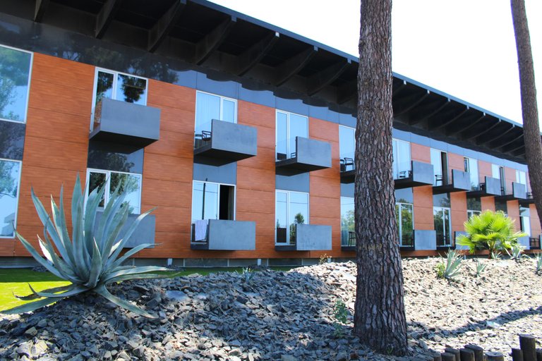
The trail is relatively easy to locate, here are the coordinates: (38° 34' 35" N / 9° 11' 36" W) however all the roads you take around here will probably take you to the same destination, I started from the village called: (Charneca da caparica) which is interesting if you plan to stay a few days since there are good hotels around here, and when I say good I have a four-star one called: (Evidencia Belverde Atitude Hotel) a hotel that has everything you're looking for and you'll probably pay 400 per night, but you're less than 2km from the beach.🧭📸
El sendero es relativamente facil de localizar te dejo las coordenadas: (38° 34' 35" N / 9° 11' 36" O) sin embargo todos los caminos que transites por aca probablemente te llevaran a un mismo destino, yo comence desde la aldea llamada: (Charneca da caparica) que es interesante si piensas quedarte algunos dias ya que hay buenos hoteles por aca, y cuando digo buenos tienes uno de cuatro estrellas llamado: (Evidencia Belverde Atitude Hotel) un hotel que tiene todo lo que buscas y probablemente pagues 400 por noche, pero estas a menos de 2km de la playa.🚵🏻♀️⛲
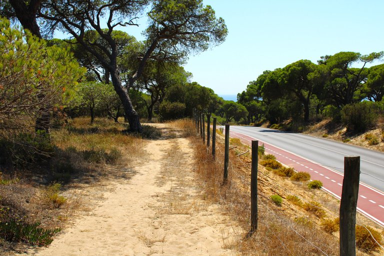
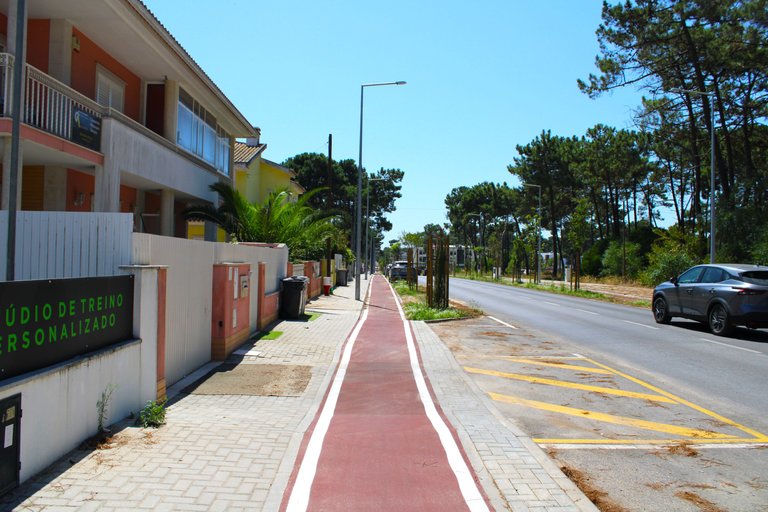
I would like to congratulate the municipal chamber for the investment it made in "Fonte Telha", they have greatly promoted restoration and hotels, the last time I was here there were many abandoned things now there are restaurants everywhere with a great variety of gastronomy, this area is a bit expensive so I will not be able to show you any typical dishes from the area but they all have a good rating on Gmaps, another interesting thing is that there is a cycle path throughout the village even reaching the beach.🧭📸
Quiero felicitar a la camara municipal por la inversion que hizo en "fonte telha", impulsaron mucho la restauracion y hoteleria, la ultima vez que pase por aqui habian muchas cosas abandonadas ahora hay restaurantes por todos lados con una gran variedad de gastronomia, esta zona es un poco costosa por eso no podre mostrarte algun plato tipico de la zona pero todos tienen buena calificacion en Gmaps, otra cosa interesante es que hay ciclovia por toda la aldea hasta inclusive llegando a la playa.🚩⛲

Arrival at the "Merendas da Aroeira" park🧭🚩 /Llegada al parque "Merendas da Aroeira"🌎🗺️
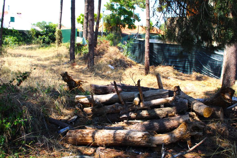
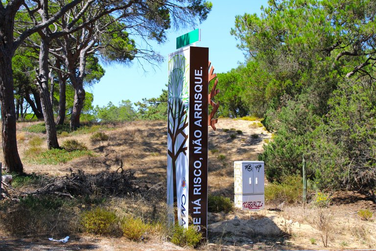
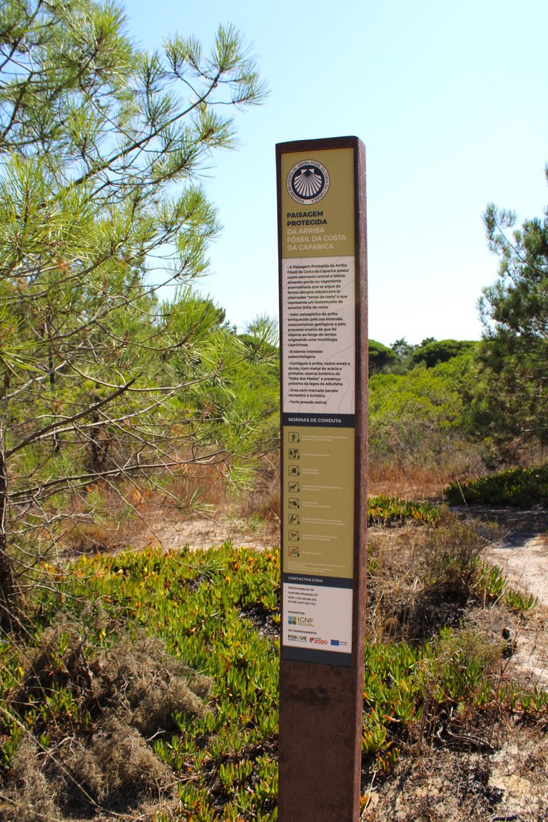
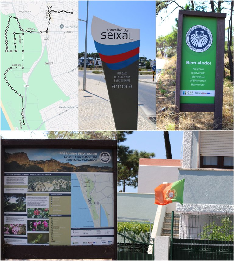
In the summer this sign that welcomes you warns you if there is or is not a risk of fire, be very careful this area is dangerous in the summer if the sign indicates a risk of fire you can do the walk in the afternoon since the sun only sets after 9:00 p.m. I took the risk because I know the area well so I started walking at 2:00 p.m. I think it was not 32 degrees and I was a few minutes from the beach so in case of an emergency just run to the beach don't go far from the coast. Bring plenty of water because you will need it, just like snacks when you get to the park there is nothing nearby to look for supplies, I always bring cold water to cool off and every kilometer I pour it on my head and I feel cooler.👨🏻🦯🌎
En verano este letrero que te da la bienvenido te advierte si hay o no riesgo de incendio, ten mucho cuidado esta zona es peligrosa en verano si el letrero te indica riesgo de incendio puedes hacer la caminata en la tarde ya que el sol solo se oculto a partir de las 21:00 yo tome el riesgo porque conozco mucho la zona asi que comence a caminar a las 14:00 creo que no habian 32 grados y estaba a pocos minutos de la playa por eso cualquier emergencia es solo correr a la playa no te alejes de la costa. Trae mucha agua que la necesitaras igual que snacks cuando llegas al parque no hay nada cerca para buscar suministros, yo siempre traigo agua fria para refrescarme y cada kilometro me la echo en la cabeza y me siento mas fresco.🌷🦎🛑

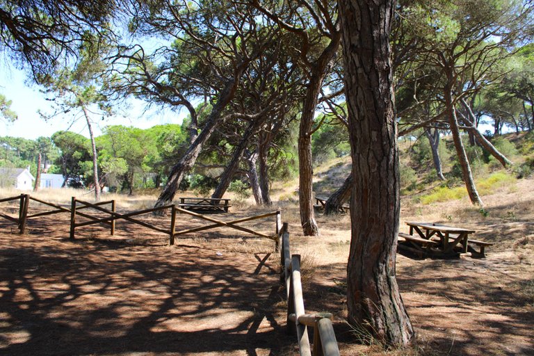
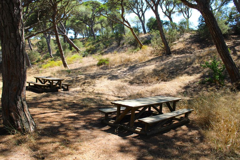
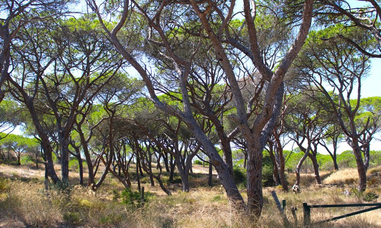
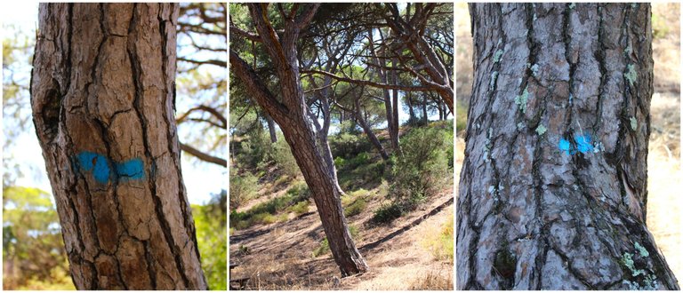
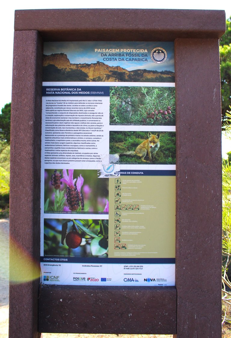
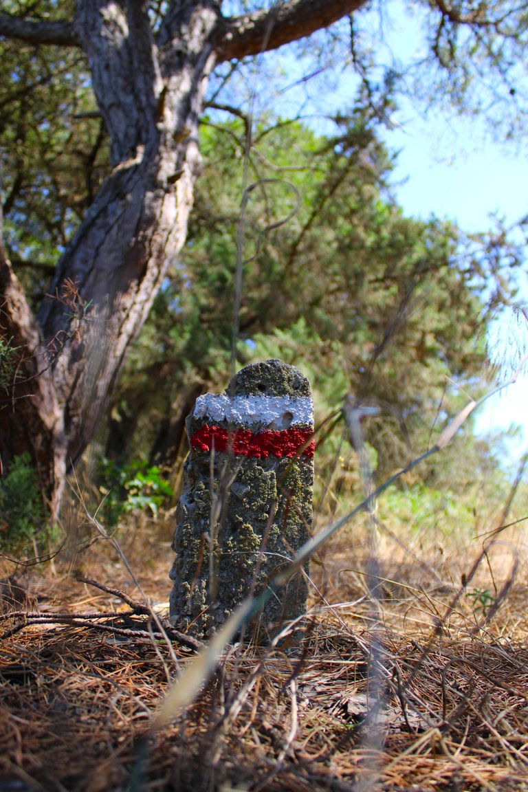
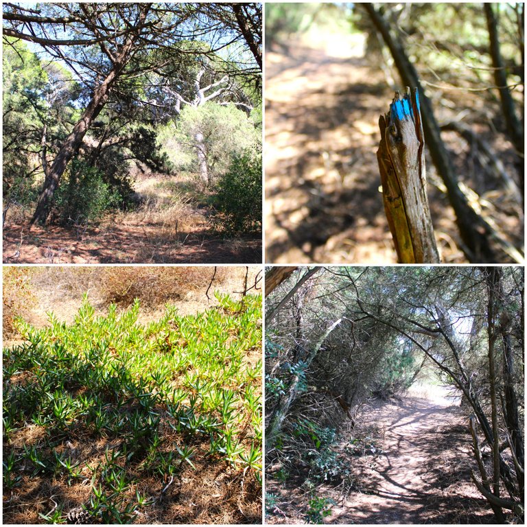
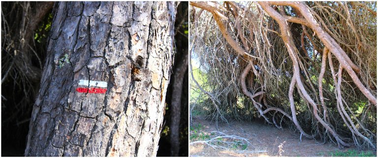
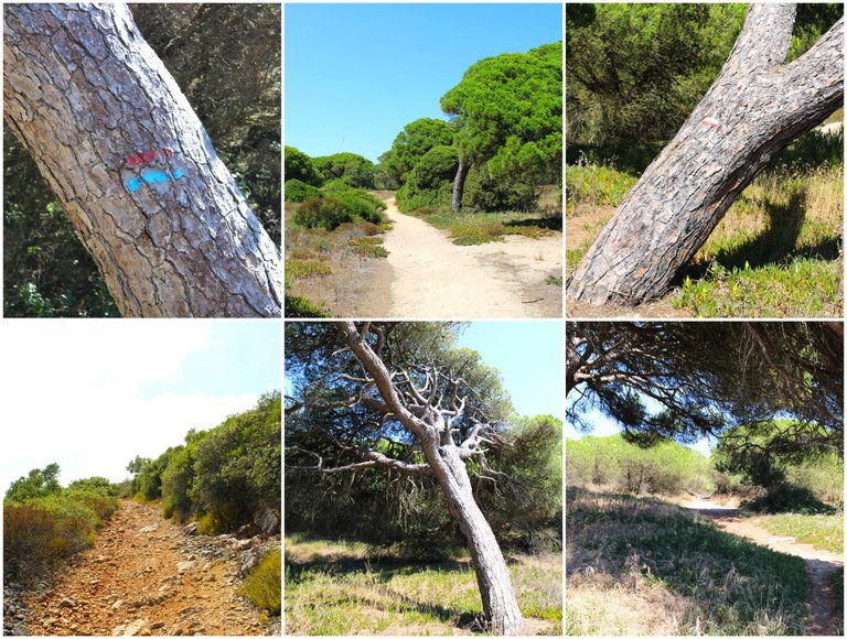
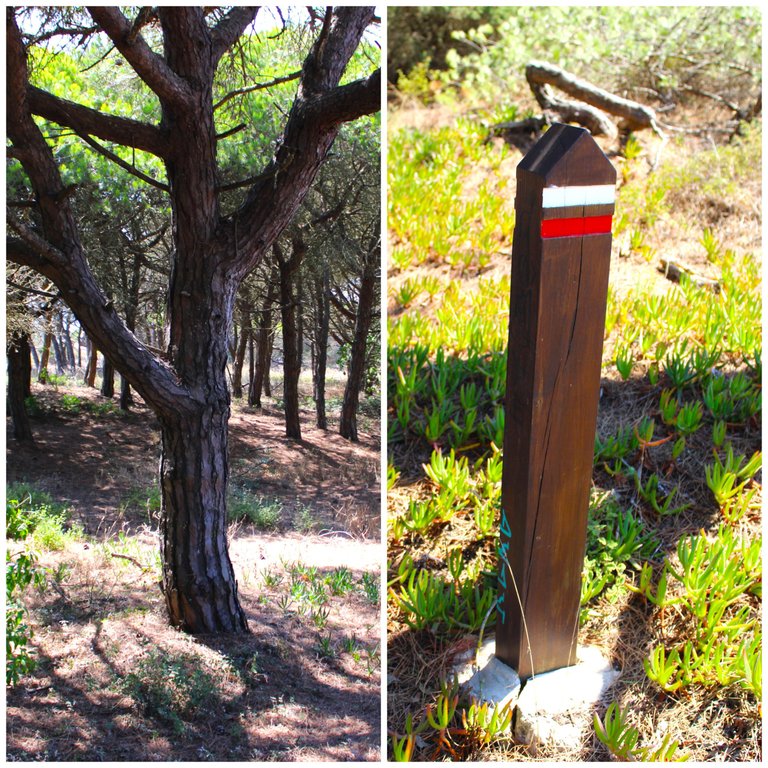
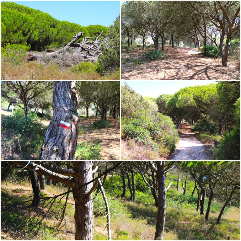
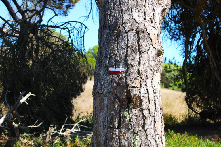
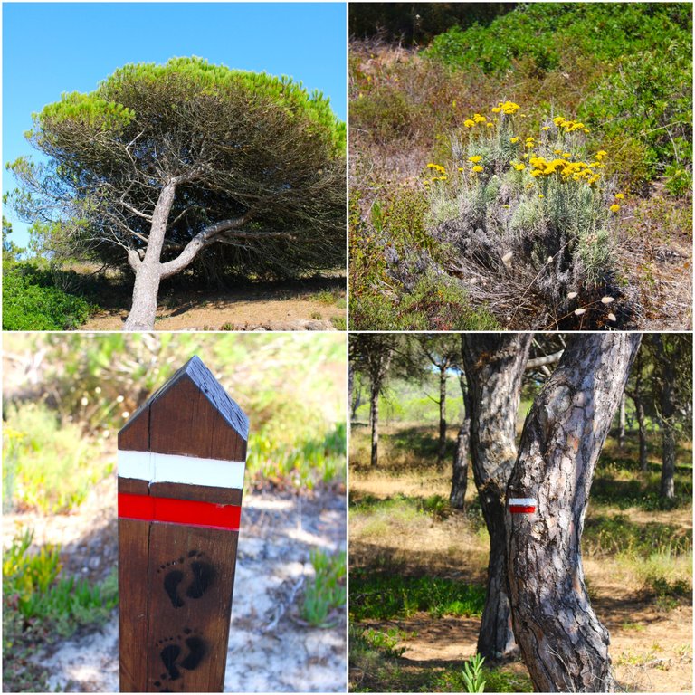
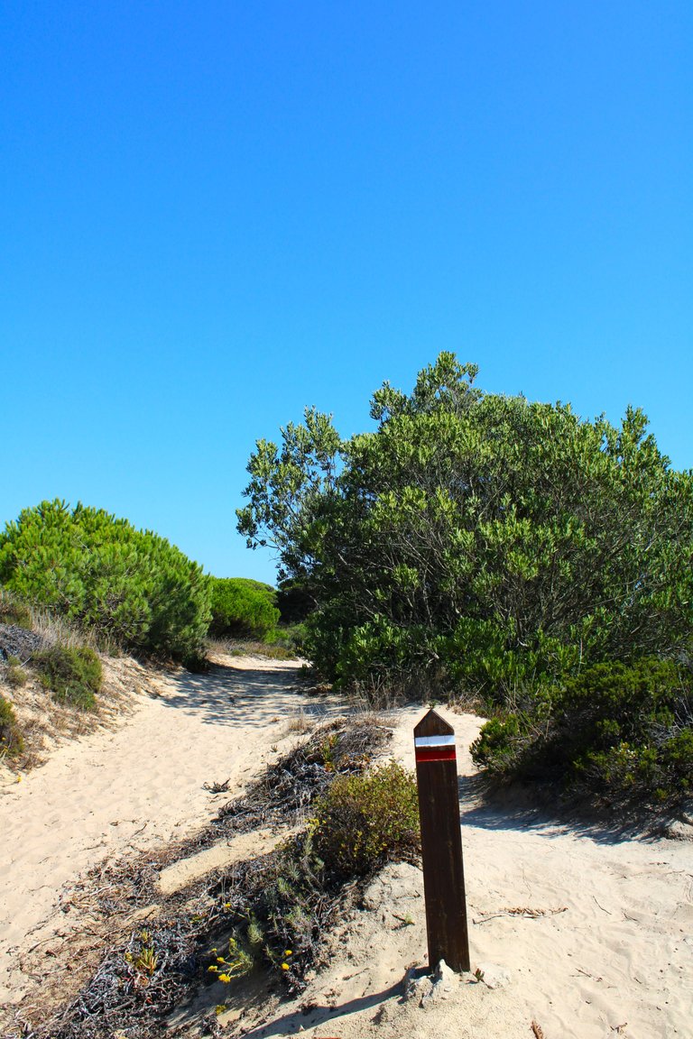
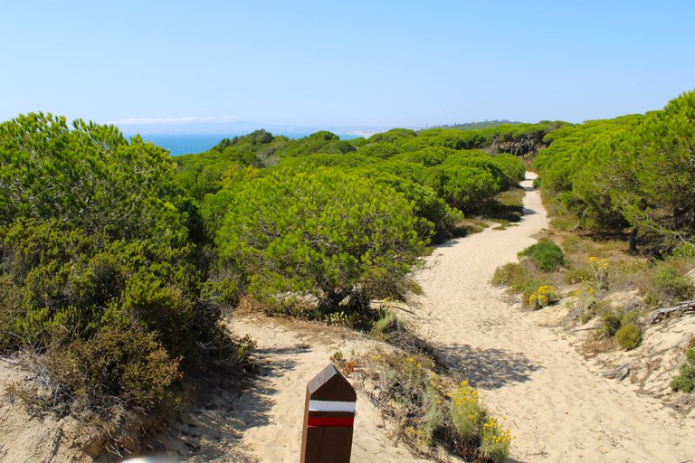
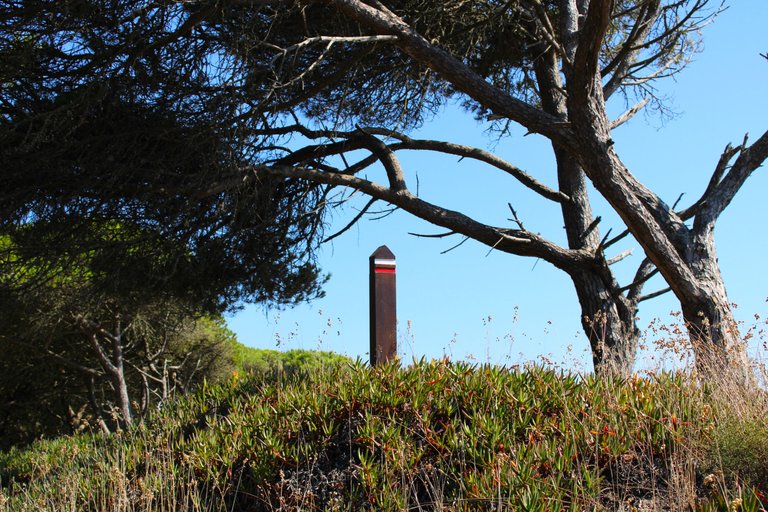
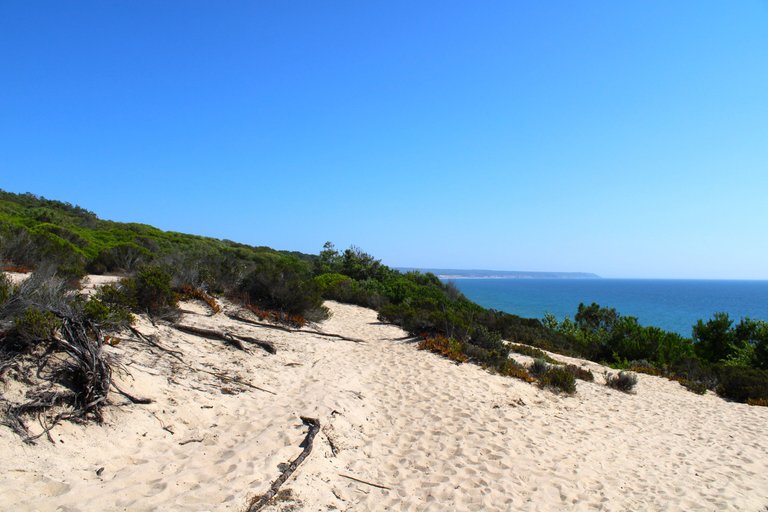
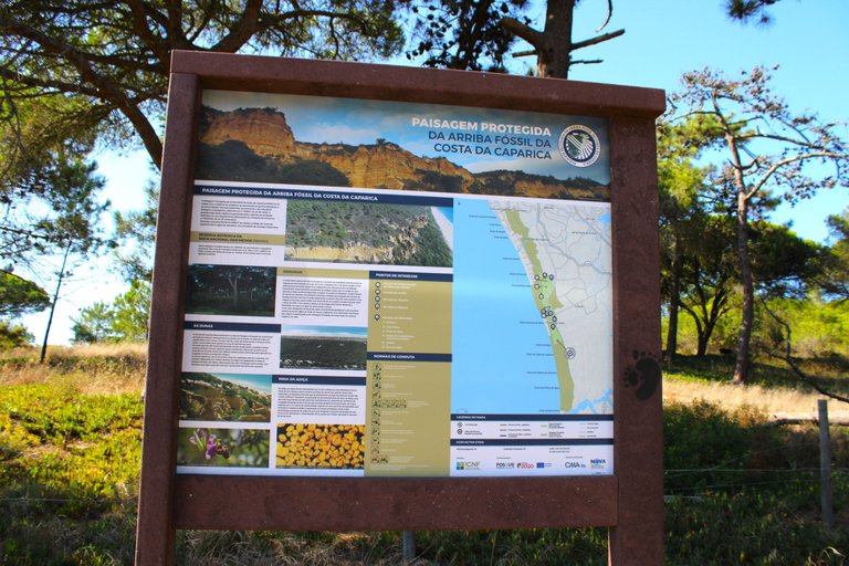
When you get to the park is where the trail begins, so as a sign you can continue until you reach the blue spots, they will take you to the other trail that has a blue and red sign, if you like walking and enjoying nature like me, this trail joins one that goes to Sesimbra which is more than 10km, so you have a whole day to enjoy, the first stop will be some viewpoints that will give us the best landscape of "Fte Telha". This is a protected area so read the signs carefully and follow the rules, a fine here can cost two thousand euros.🌷🌎
Cuando llegas al parque es que comienza el sendero asi que como senalizacion puedes seguir para comenzar las manchas azules, ellas te llevaran al otro sendero que tiene un letrero azul y rojo, si te gusta mucho caminar y disfrutar la naturaleza como yo este sendero se uno con uno que va a sesimbra que son mas de 10km, asi que tienes todo un dia para disfrutar, la primera parada seran algunos miradores que nos regalaran el mejor paisaje de "Fte telha". Esta es un area protegida por eso lee bien las senales y cumple las normas una multa aqui puede costar dos mil euros.👨🏻🦯🗺️


Biodiversity🧭🦎 /Biodiversidad 🌎🌷
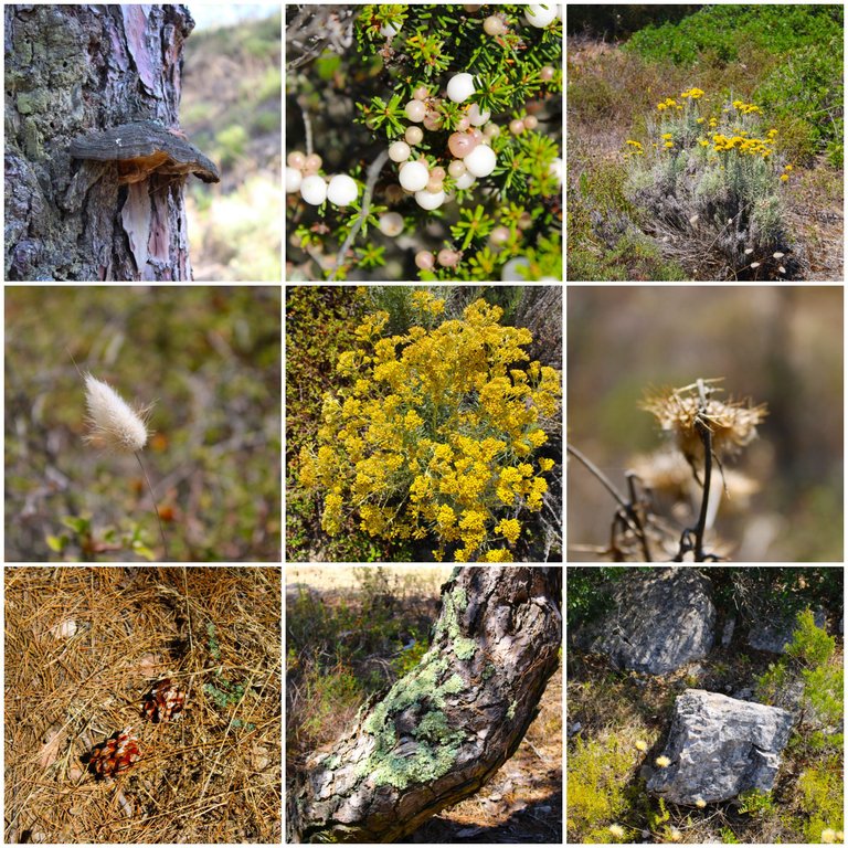
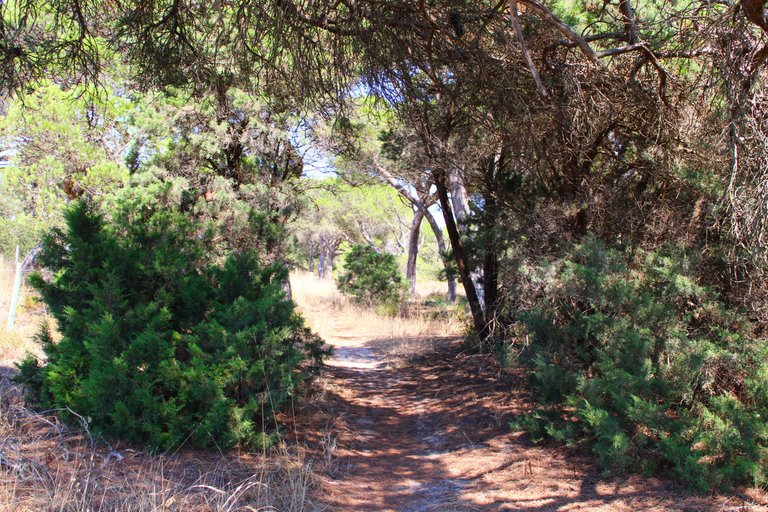
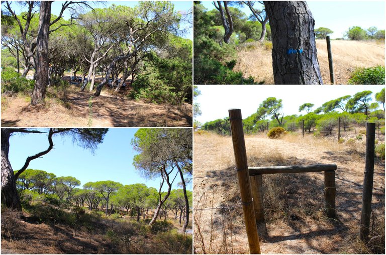
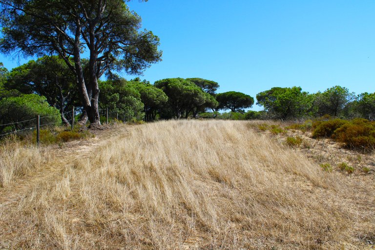
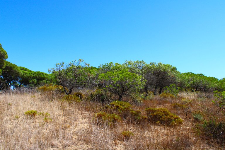
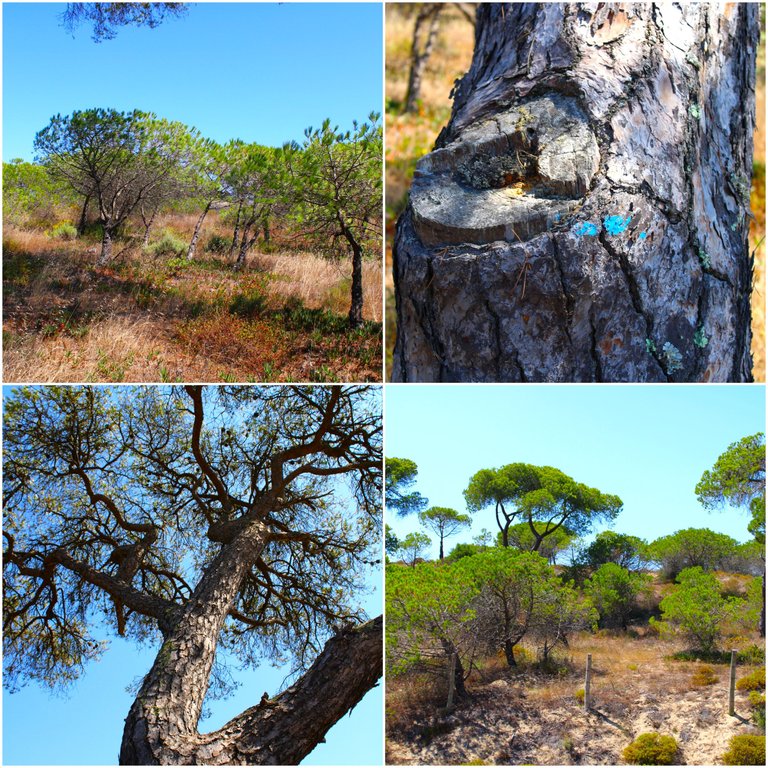
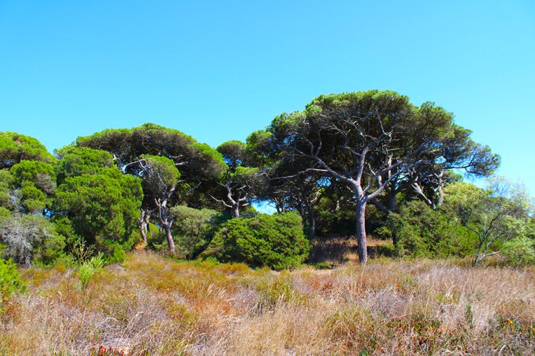
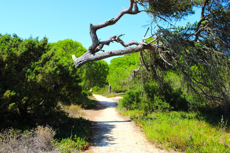
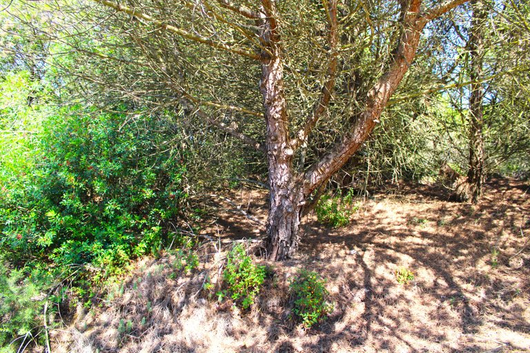
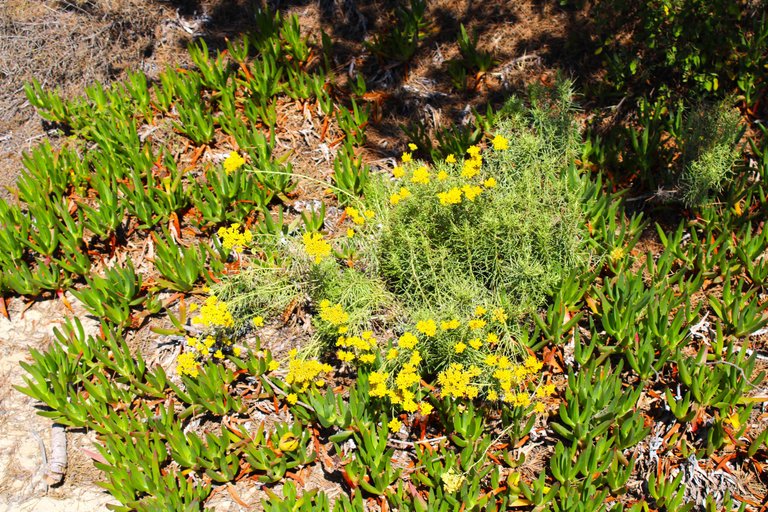
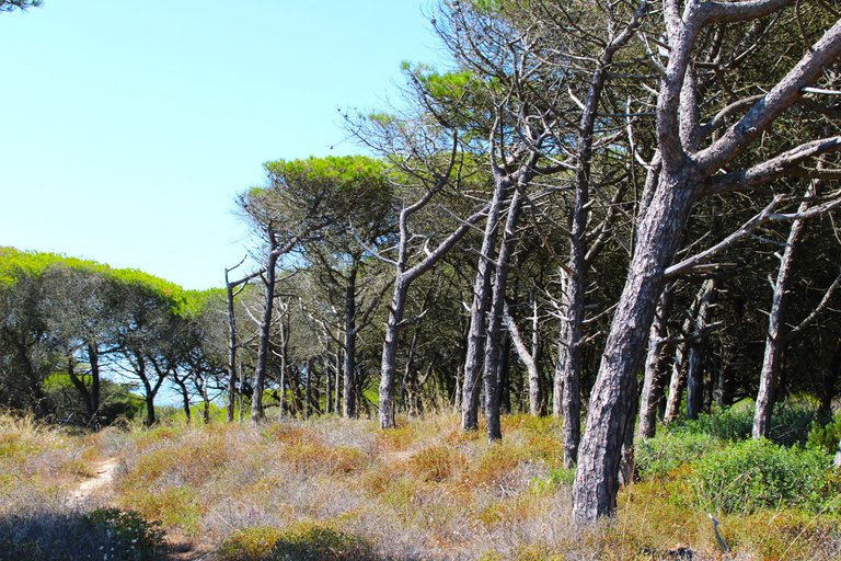
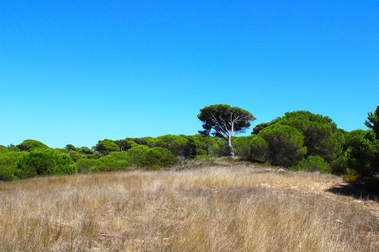
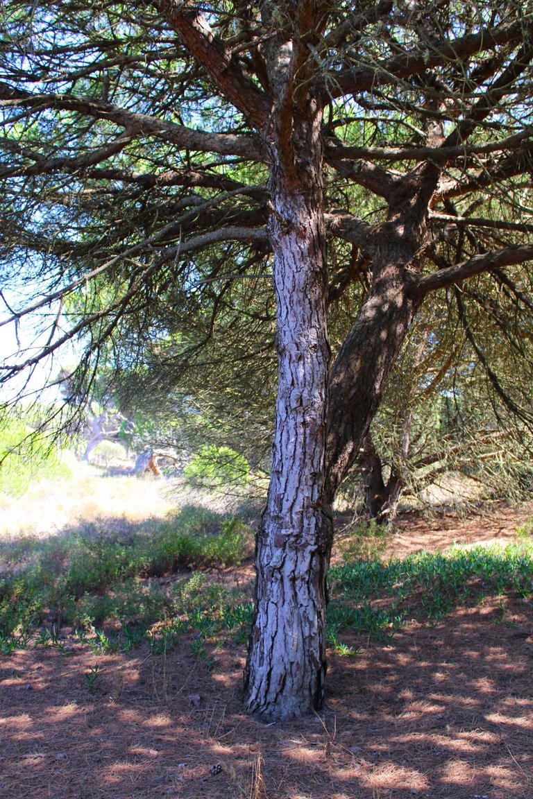
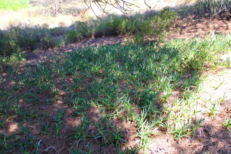
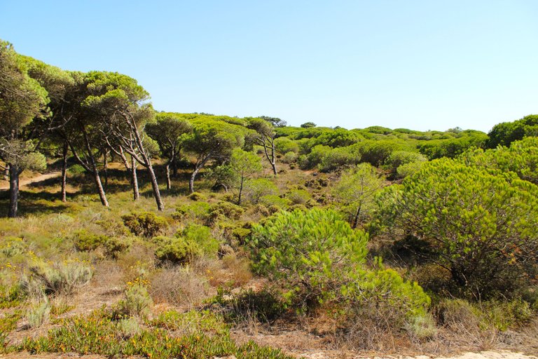
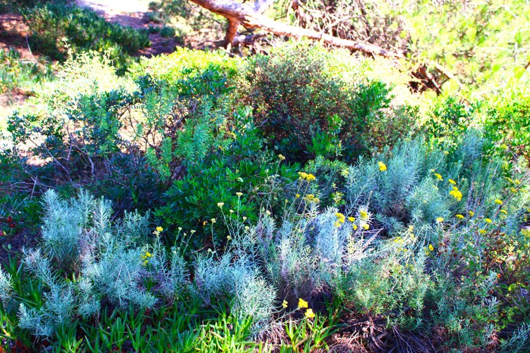
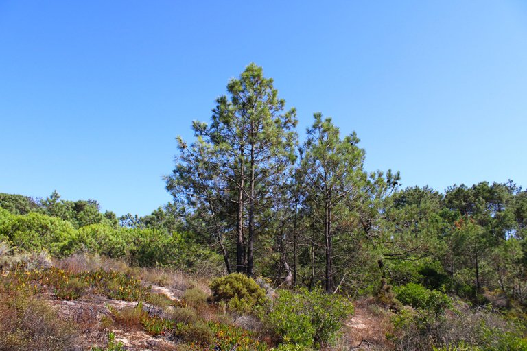
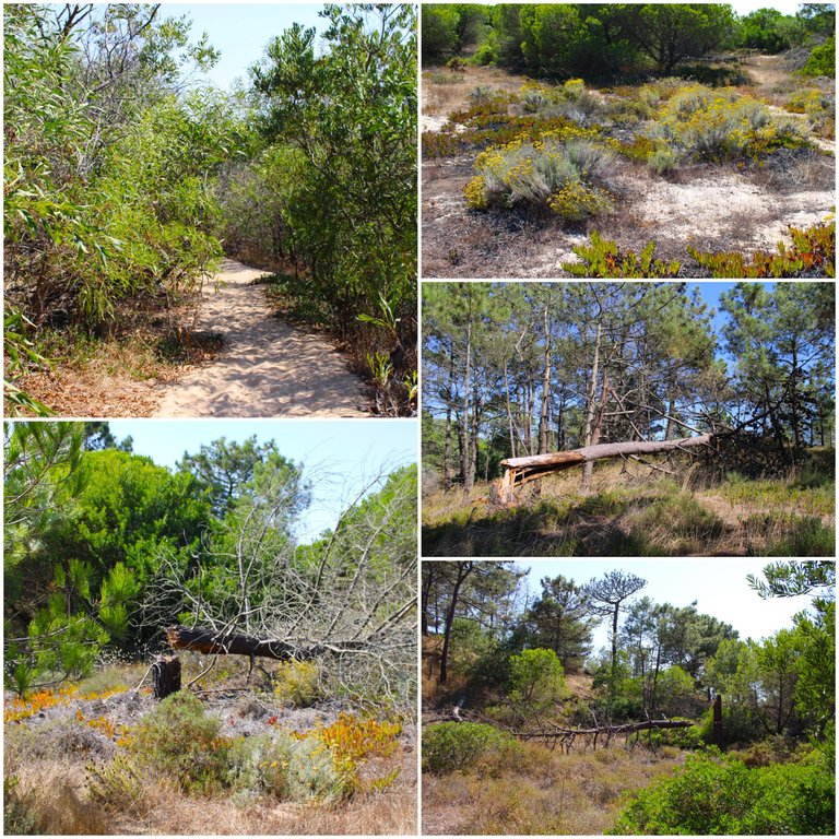
Clearly at midday you will hardly see any kind of animal there, they shelter from the sun and come out in the afternoon, that's why I recommend you do the trail first thing in the morning when the sun begins to set or from 18:00 onwards. This is not a dangerous area so don't worry about nightfall getting you here. Many species of animals and plants characterize the "Mata dos Medos" nature reserve, we can find everything from rabbits to wild foxes and wild boars. The landscape also varies depending on the season of the year, spring has rains and the terrain is dangerous but the plants are green and nature looks alive, with flowers and many insects.🗺️🌷🦎
Claramente en el medio dia dificilmente vas a ver algun tipo de animal por alli, ellos se resguardan del sol y salen en la tarde, por eso te recomiendo hacer el sendero a primera hora de la manana cual el sol comienza a ponerse o a partir de las 18:00, esta no es una zona peligrosa por eso no te preocupes que la noche te agarre por aqui, muchas especies de animales y plantas caracterizan la reserva natural "Mata dos medos", podenos conseguirnos desde conejos hasta zorros salvajes y jabalis.Tambien el paisaje varia dependiendo la estacion del ano, primavera tiene lluvias y el terreno es peligroso pero las plantas estan verdes y la naturaleza se ve viva, con flores y muchos insectos.🌎🚵🏻♀️⛲

Walking along the path🧭🦎 /Caminando por el sendero🌎🌷
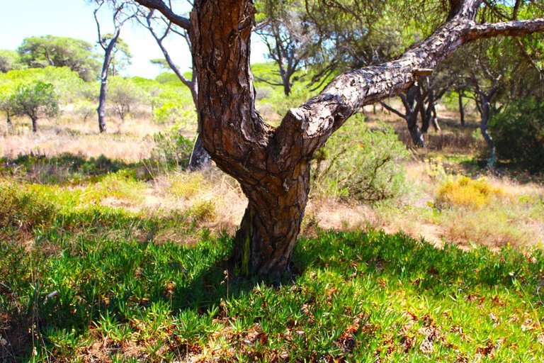
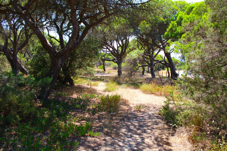
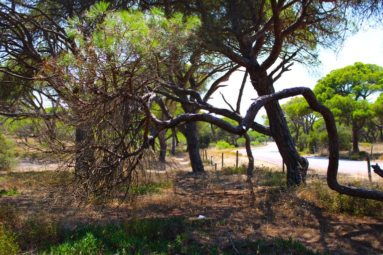
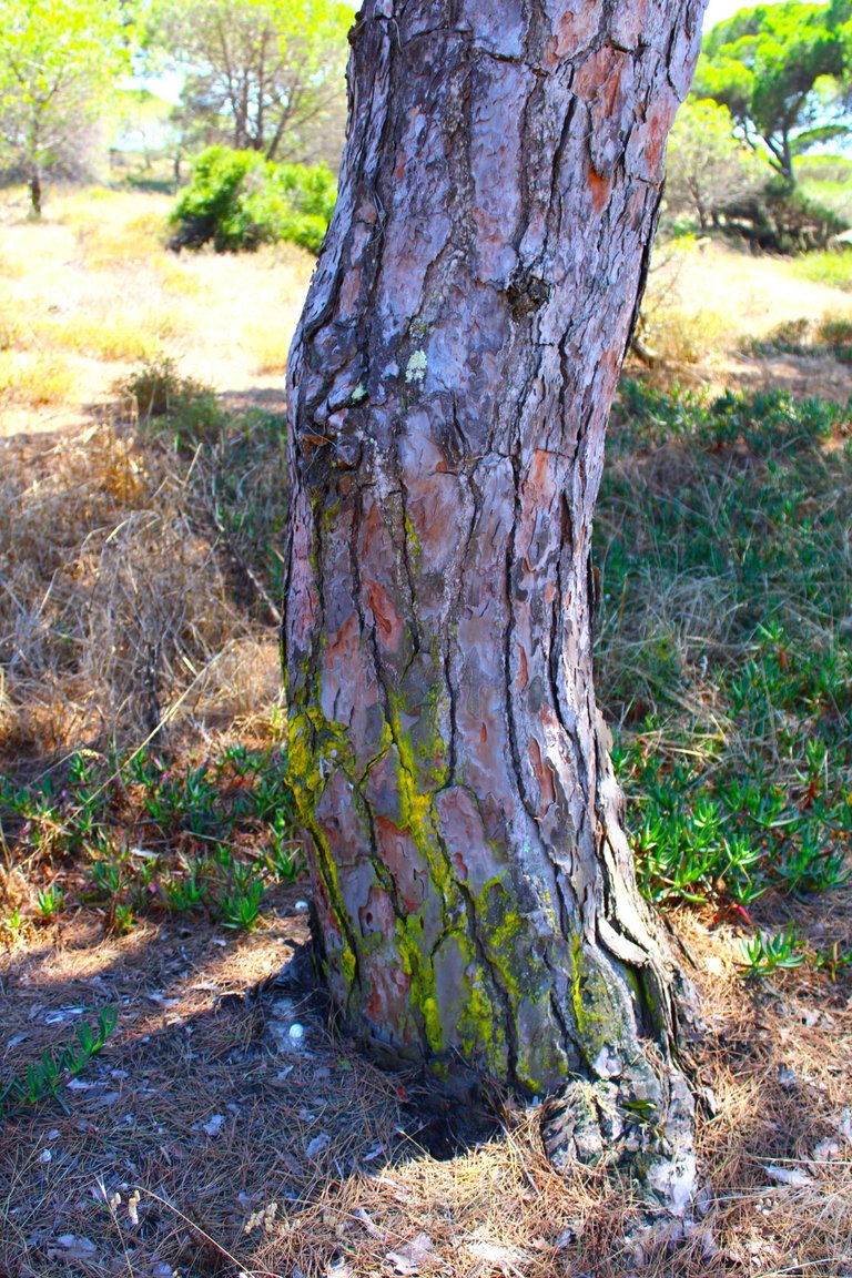
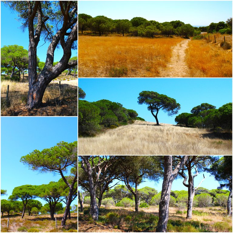
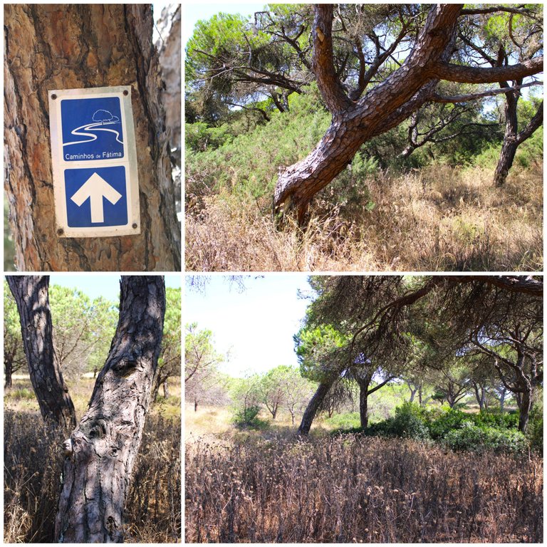
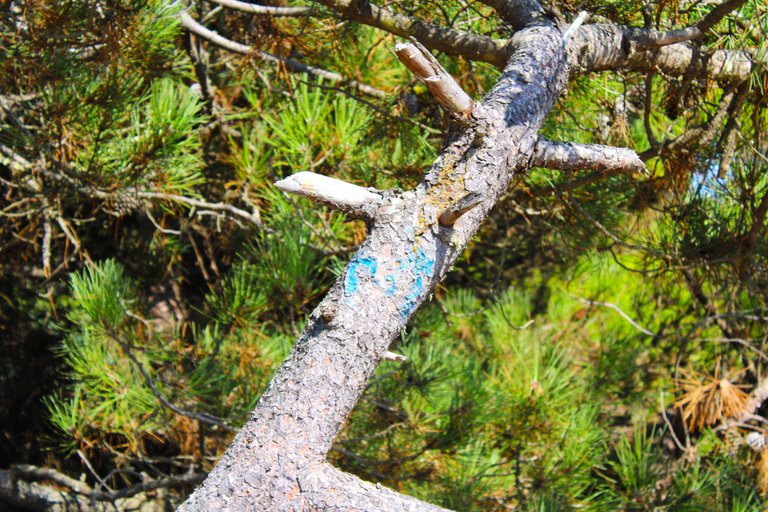
One of the most important walks in Europe is the walk "to Santiago de Fatima" or "Caminhos do Fatima", which is that blue sign that is placed on that tree, it is a walk from anywhere in the country to the beautiful church of Fatima, one of the most visited in the world for its great history! Very similar to the "Camino de Santiago", this trail has access to Fatima but do not underestimate it is hundreds of kilometers, that is, days of walking.🌎🚵🏻♀️
Uno de las caminatas mas importantes de Europa es la caminata "al santiago de fatima" o "Caminhos do fatima", que es ese letrero azul que esta colocado en ese arbol, es una caminata desde cualquier parte del pais hasta la hermosa iglesia de fatima una de las mas visitadas en el mundo por su gran historia! muy parecida por cierto al "camino de santiago", este sendero tiene acceso a fatima pero no subestimes son cientos de kilometros osea dias de caminata.🧭🗺️
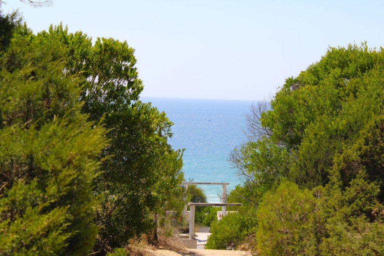

Connection to the "fte telha" trail🧭🦎 /Conexion sendero "fte telha"🌎🌷
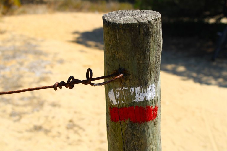
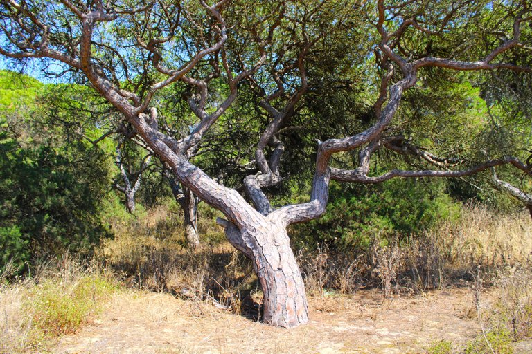
First viewpoint (140mts)🧭🦎 /Primer mirador🌎🌷
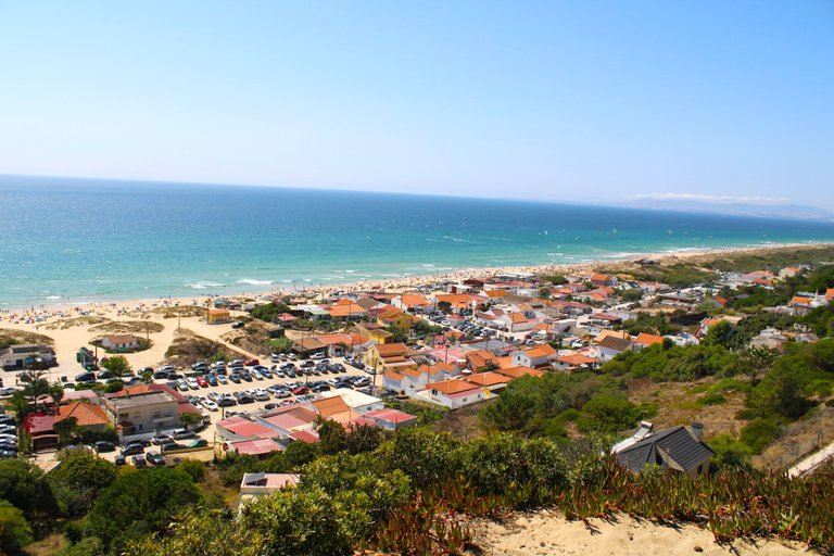
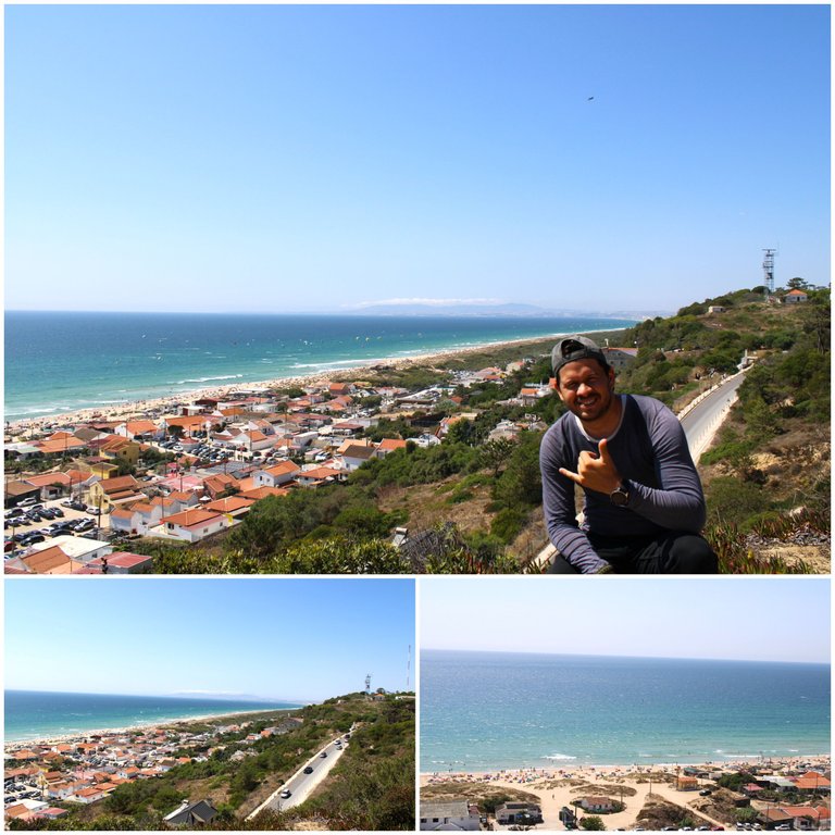
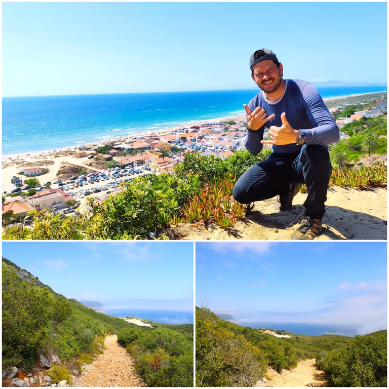
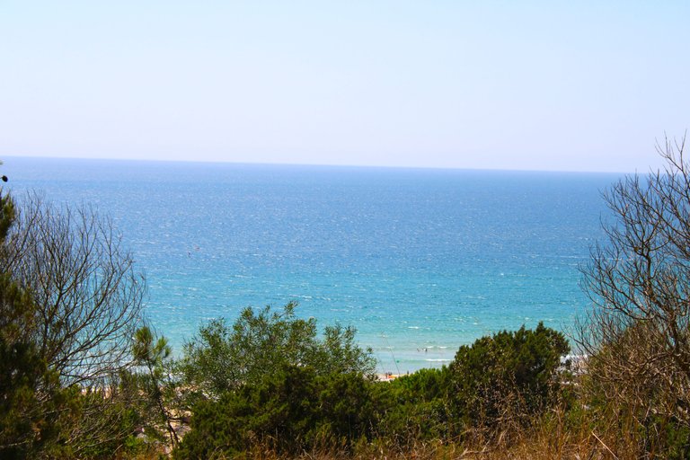
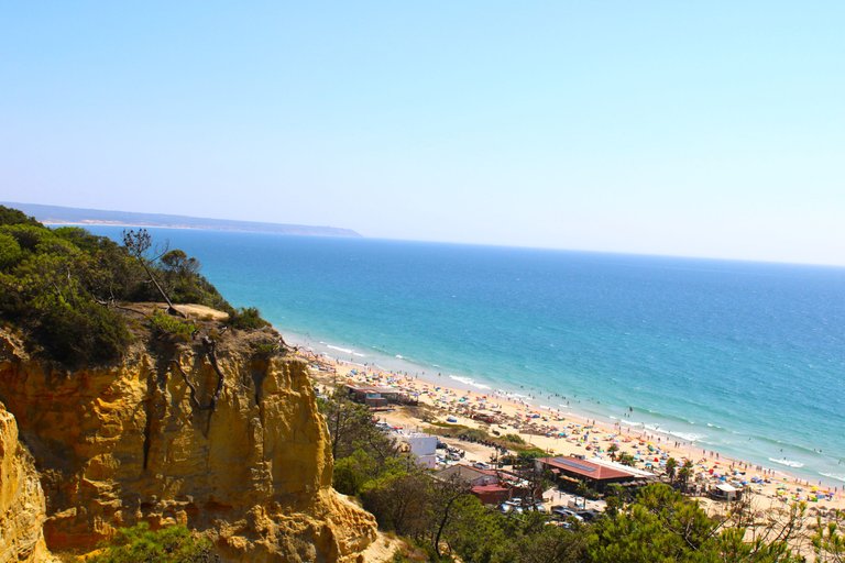
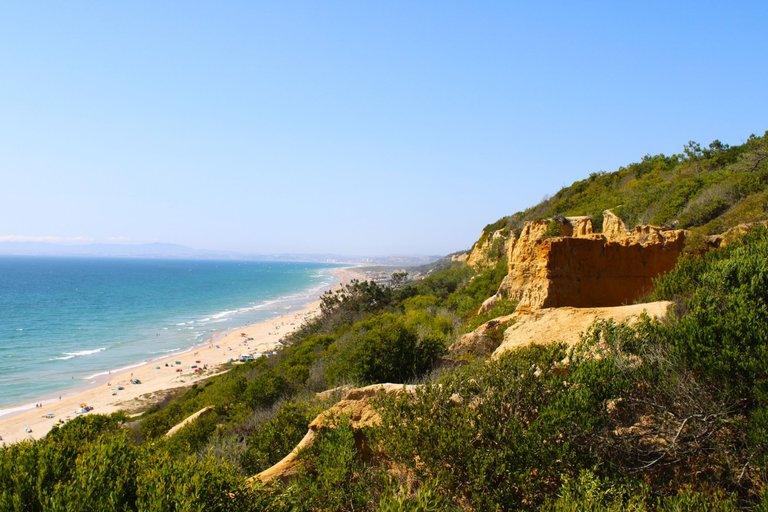
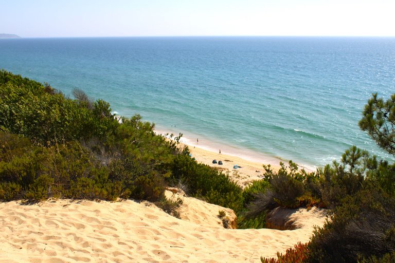
We arrived at the first viewpoint, one of my favorites with the beautiful Atlantic Ocean in the background and one of the most visited beaches in Portugal "Fte Telha", as you can see it is very crowded today Saturday, I am more or less at 170 meters, the highest point of this trail being 320 meters.🚵🏻♀️🌎
Llegamos al primer mirador, uno de mis favoritos al fondo el hermoso oceano atlantico y una de las playas mas visitadas de Portugal "Fte telha", como ves esta muy llena hoy sabado, estoy mas o menos a 170 metros, siendo el punto mas alto de este sendero 320metros.🌳📸⛰️


Geological formation millions of years🧭🦎 /Formacion geologica millones de anos🌎🌷
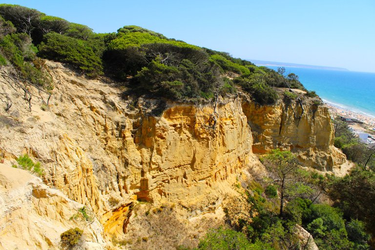
This geological formation has a great importance in the landscape of the protected area as it dates back more than 14 million years. This is a clear demonstration that the ocean reached this area, and many fossilized organisms have been discovered, including dinosaur footprints, which makes our walk even more interesting. Remember, it is nothing more than a simple hill, it has an extension of 12 km and at its lowest point it is 90 meters high.📸🌳🌎
Esta formacion geologica tiene una gran importancia en el paisaje del area protegida ya que remonta a mas de 14 millones de anos, esto es una clara de mostracion que el oceano llegaba hasta esta zona, y se han descubierto muchos organismos fosilizados e inclusivas huellas de dinosaurios lo que hace que nuestra caminata sea mas interesante aun, recuerda no es mas que una simple colina, tiene una extension de 12km y en su punto mas bajo se situa a 90 metros de altura.🚵🏻♀️⛰️📸


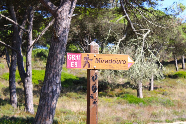
GR11 E09 Viewpoint🧭🚵🏻♀️ /Mirador GR11 E09🌎🌷
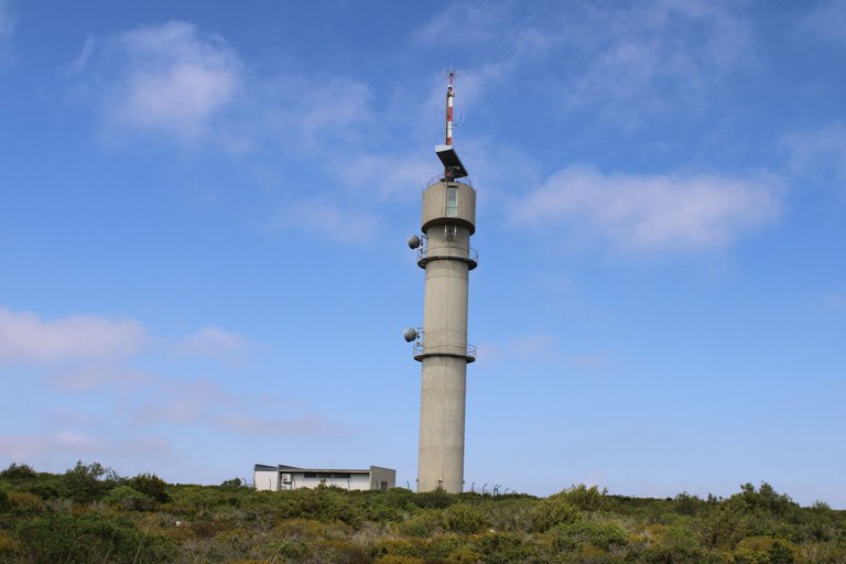
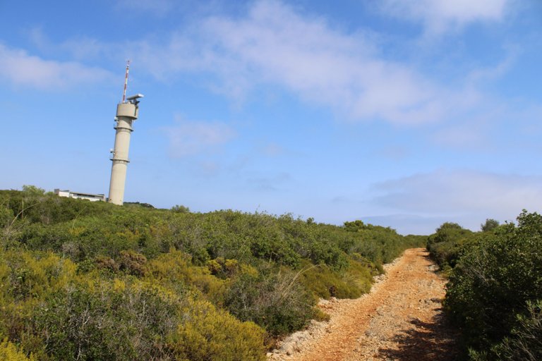
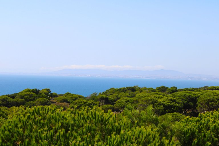
Here we have a military complex and next to it a forest observation and surveillance station, we cannot fly the drone here! But the view is quite nice, in the distance we can see Lisbon and the Sintra mountain range.🌎⛰️
Aqui tenemos un complejo militar y al lado una estacion de observacion y vigilancia forestal, no podemos pilotear el drone aqui! pero la vista es bastante bonita, a lejos vemos lisboa, la sierra de sintra.📸


Objective accomplished🧭🚵🏻♀️ /Objetivo complido🌎🌷
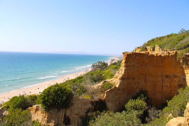
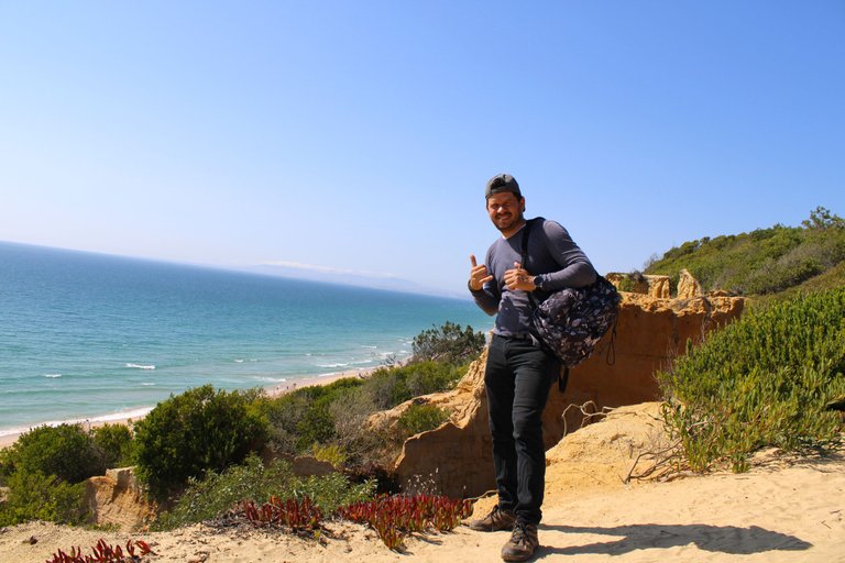

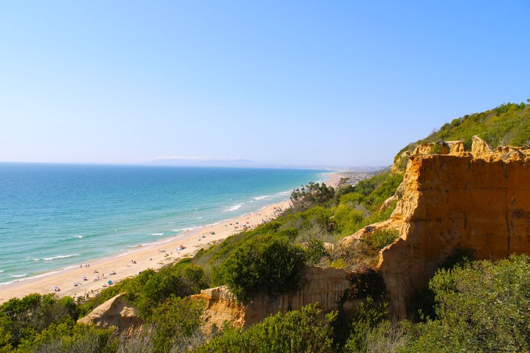
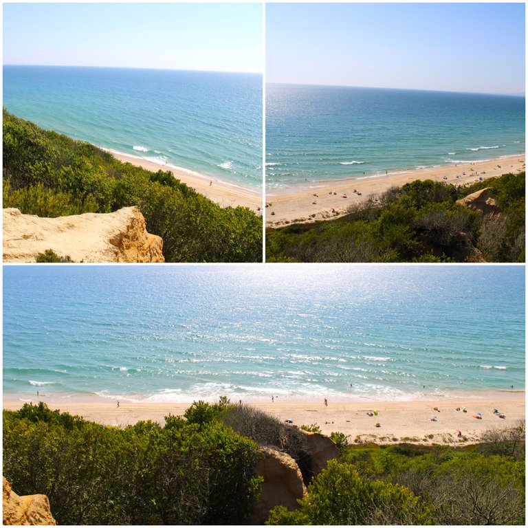
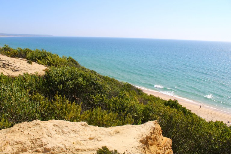
And here ends our 8km walk, clearly the total walk was 22km or a little more for the return, from here we have a better view of the landscape! I loved the trail and there is still much more to explore, if we continue walking south we will reach Sesimbra.🌎🚵🏻♀️
Y aqui termina nuestra caminata de 8km, claramente el total de la caminata fue 22km o un poco mas por el retorno, desde aqui tenemos una mejor vision sobre el paisaje! me encanto el sendero y aun hay mucho mas que explorar, si seguimos caminando hacia el sur llegaremos a sesimbra.🥇🥇


DNA is an organization to foster and DENSIFY NATURE-APPRECIATION which aims to establish REPORTS OF BIODIVERSITY DATA that is contributed by all of us Hiveans and subsequently cataloged.
Therefore DNA searches for HIGH-QUALITY posts that aim to DESCRIBE and determine the BIODIVERSITY AROUND YOU with added EXPLANATIONS and INFORMATION. For these informative posts they offer a CURATION SERVICE using the @dna.org account. It is also a CURATION TRAIL. Just add the #dna TAG if you think that any of your posts is what they are looking for.
THANKS FOR READING ME (PHOTOS AND VIDEOS OF MY PROPERTY) / GRACIAS POR LEERME FOTOS Y VIDEOS DE MI PROPIEDAD🙂🧠🦾👍




Congratulations, your post has been added to WorldMapPin! 🎉
Did you know you have your own profile map?
And every post has their own map too!
Want to have your post on the map too?
Hiya, @ybanezkim26 here, just swinging by to let you know that this post made it into our Honorable Mentions in Travel Digest #2277.
Your post has been manually curated by the @worldmappin team. If you like what we're doing, please drop by to check out all the rest of today's great posts and consider supporting other authors like yourself and us so we can keep the project going!
Become part of our travel community:
@tipu curate
Upvoted 👌 (Mana: 0/57) Liquid rewards.