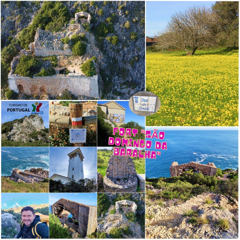
Well my friends new post! If you are a fan of the views of the beaches and discovering abandoned ruins then get ready because today you will live a super adventure with me! We are going to the southernmost area of Setubal, a few kilometers from Cabo Espichel, one of the most extraordinary lighthouses in the region! This trail is the continuation of my previous post so if you haven't seen it you still have time! After walking for more than 5 hours and covering 21km of rocky paths we arrived at the São Domingos da Baralha fort, do you know what's so special about it?...🚙🍍🌄
Bueno mis amigos nuevo post! si eres fan de las vistas hacia las playas y descubrir ruinas abandonadas entonces preparate porque hoy viviras conmigo una super aventura! vamos a la zona mas al sur de Setubal a pocos kilometros de Cabo Espichel uno de los faros mas extraordinarios de la region! este sendero es la continuacion de mi post anterior asi que si no lo vistes aun estas a tiempo! luego de caminar mas de 5 horas y recorrer 21km de caminos en peñascos llegamos al fuerte São Domingos da Baralha sabes que tiene de especial¿?...🌏🍂🚵♂️
Starting from the town of Sesimbra🧭🌍/Partiendo desde el casco de sesimbra🚩
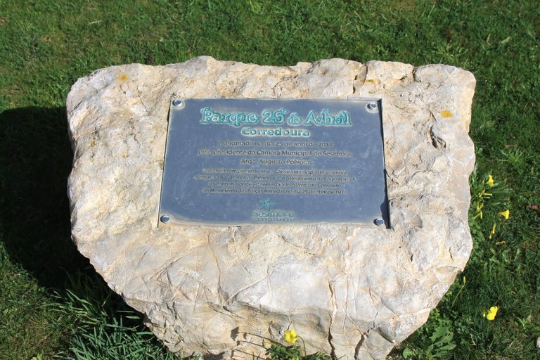
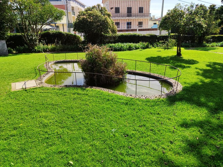
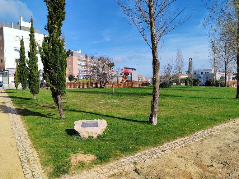
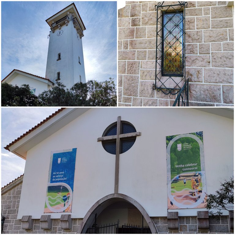
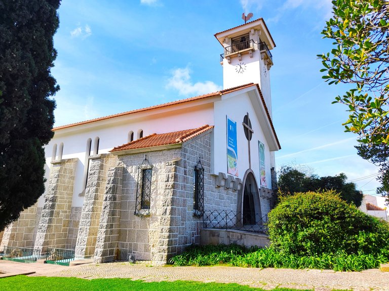
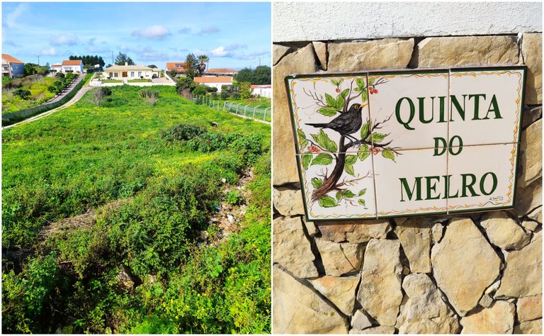
I started my adventure from the beautiful and cozy city of Santa Ana which is in the municipality of Sesimbra, from here to my final destination it is more than 18km and it can become 20 depending on the route you take! Finally, I took the opportunity to take some photos of this church, which is one of the newest that I visited in Portugal, just being built in the 1950s and which today is a symbol of the city of Santa Ana!🍍🚙🧭
Comence mi aventura desde la bonita y acogedora ciudad de Santa Ana que esta en el municipio de Sesimbra, desde aqui hasta mi destino final son mas de 18km y se pueden convertir en 20 dependiendo la ruta que tomes! en fin aproveche en tirar unas fotos a esta iglesia que es una de las mas nueva que visite de Portugal apenas siendo construida en la decada de los 50 y que hoy es simbolo de la ciudad de Santa Ana!🚵♂️🍍🧭

A much more natural path 🧭🌍/Un camino mucho mas natural🚩
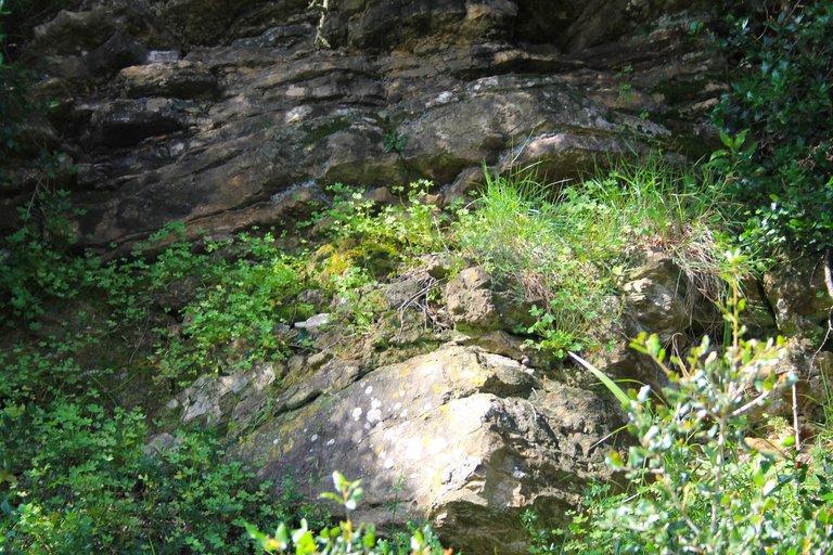
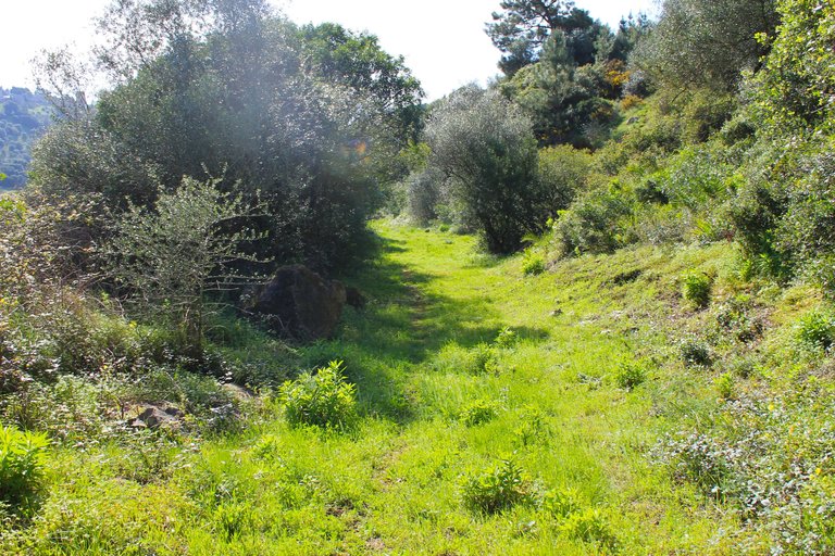
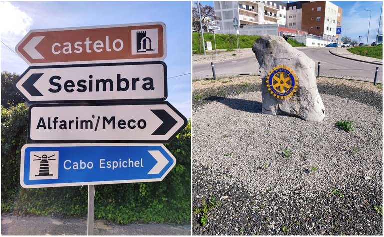
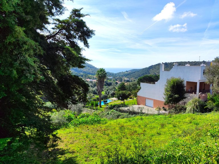
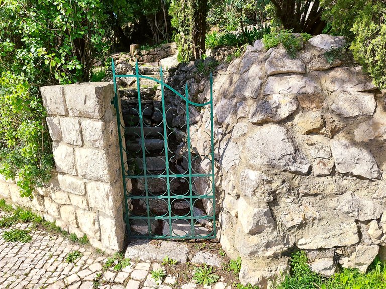
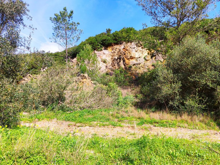
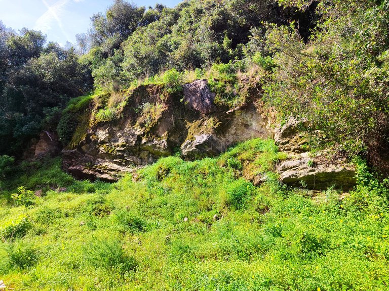
The walk is an explosion of colors, designs and architecture! Since Sesimbra is on the coast in the distance you will always see the Atlantic, and in fact we are on our way to the ocean! As we advance along the trail, the terrain changes from asphalt to a sandy path and it is because the area is a nature reserve, the houses become less common and we begin to see many thorny plants, the path is not signposted but It only has one path so you will have to use Googlemaps, and it is not possible to drive by vehicle so it will be an intense walk!🚵♂️🚙🌏
La caminata es una explocion de colores, diseños y arquitectura! como sesimbra esta en la costa a lo lejos siempre vas a ver el atlantico, y de echo vamos camino hacia el oceano! a medida que vamos avanzando en el sendero el terreno tiene ese cambio de asfalto a un camino de arena y es porque la zona es reserva natural, las casas se van haciendo menos comunes y comenzamos a ver muchas plantas espinosas, el sendero no esta señalizado pero solo tiene un camino asi que deberas usar el Googlemaps, y no es posible circular con vehiculo asi que sera una caminata intensa!🌍🚩

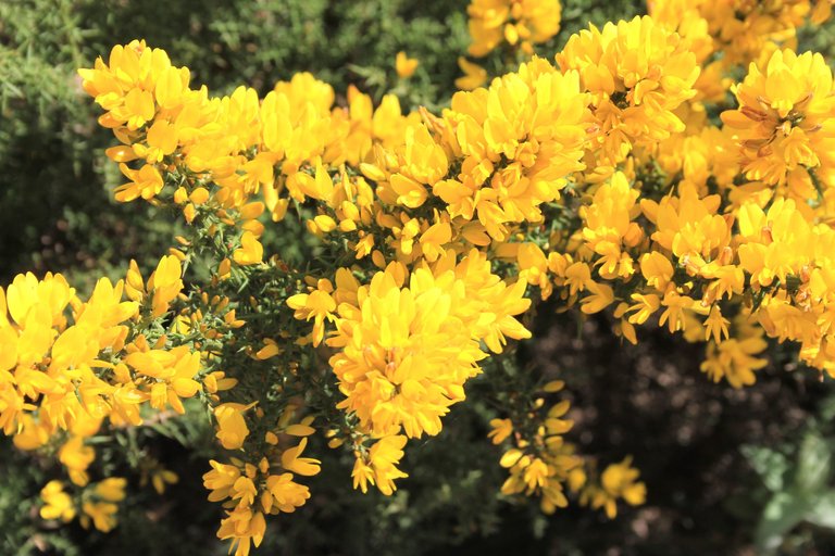
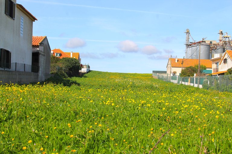
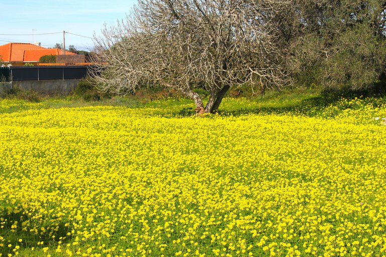
flowers decorate the landscape🌻🚙👨🦯
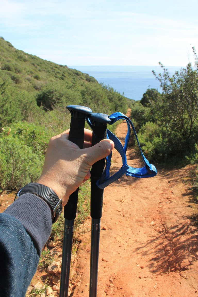
Like all my posts, I take this opportunity to tell you that the best time to do the trail is in spring or, of course, on a sunny winter day. Believe me, it is too hot in this area. Come with hiking equipment such as boots and poles, as well as plenty of water. and snacks! At this point in the walk I'm 2km in and I still haven't left the road!👀🧭🌏
aprovecho como todos mis post para indicarte que la mejor epoca para hacer el sendero es en primavera o claro un dia de invierno con sol, creeme que en esta zona hace demasiado calor, vente con equipo de excursion como botas y bastones, asi como mucha agua y aperitivos! en esta altura de la caminata llevo 2km y aun no sali de la carretera!😲🚙

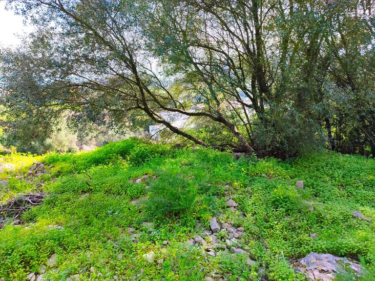
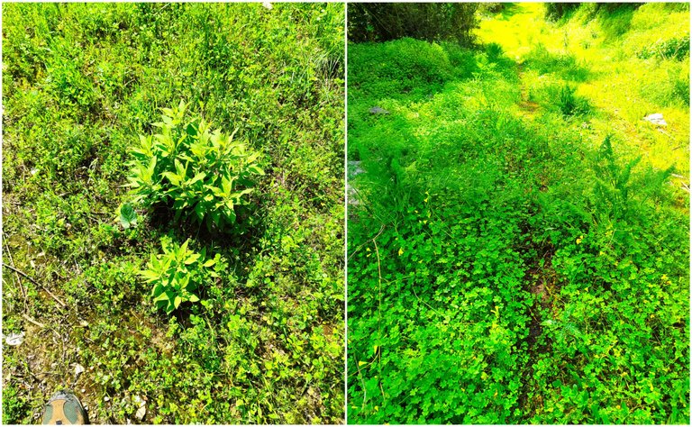
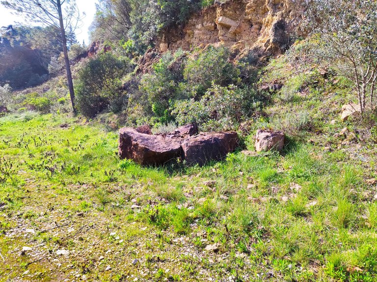
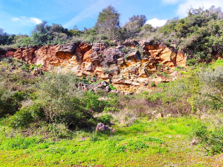
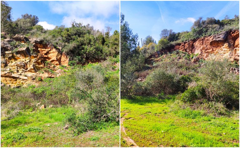
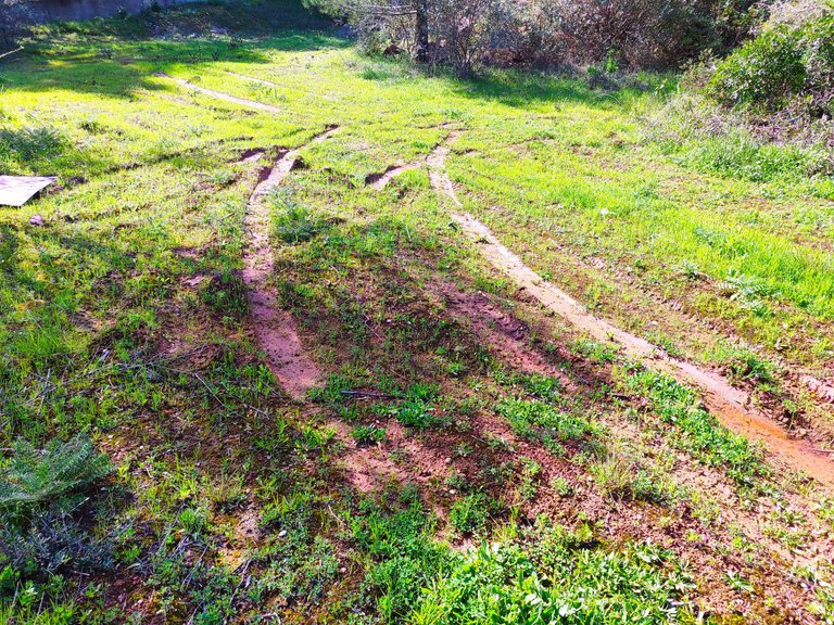
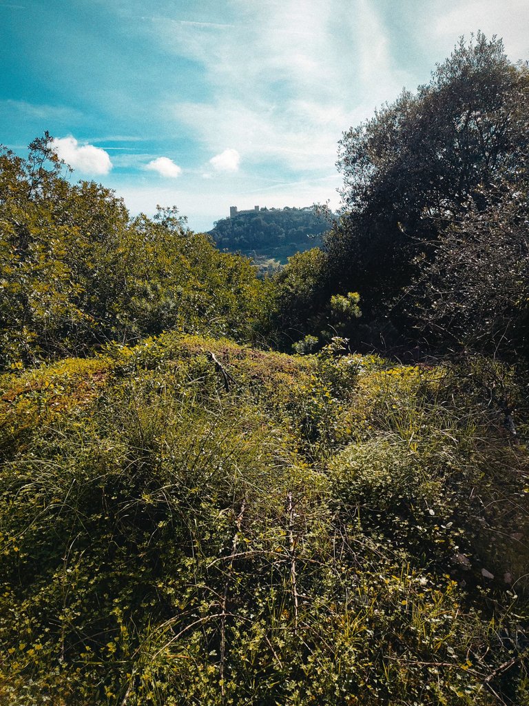
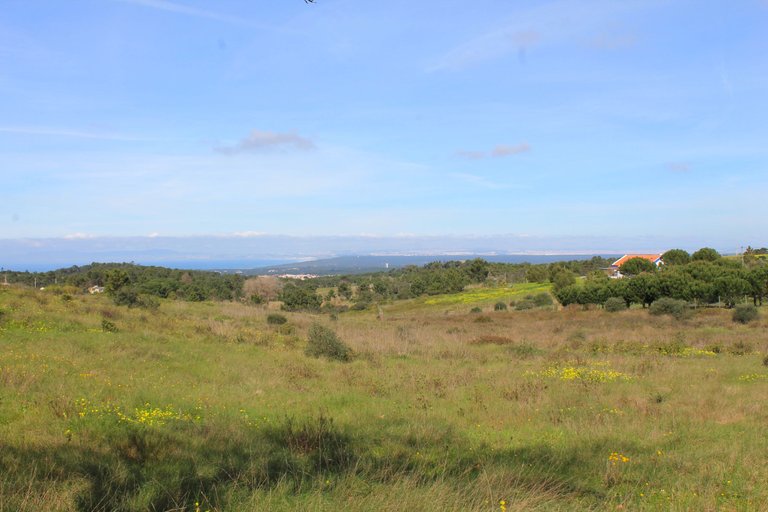
This last photo is interesting and if you look closely you will see a castle! It's about the Sesimbra Castle, which by the way I already made a post about in case you're interested! It is a few kilometers from here so you could get there, visit it, leave your car and follow this road to get to the fort! but now we would talk about an expert to brutal level path🚵♂️🧭🍍
Esta ultima foto es interesante y si observas con detalle veras un castillo! se trata el castillo de sesimbra que por cierto ya hice un post de el por si te interesa! esta a pocos kilometros de aqui por lo que podrias llegar alli visitarlo, dejar tu carro y seguir este camino para llegar al fuerte! pero ahora hablariamos de un sendero nivel experto a brutal🏯🏃♀️

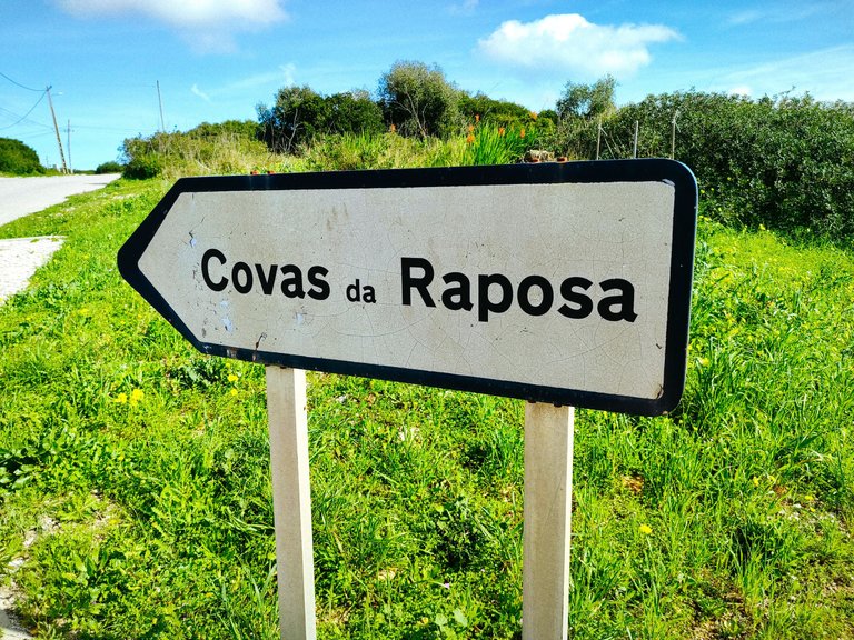
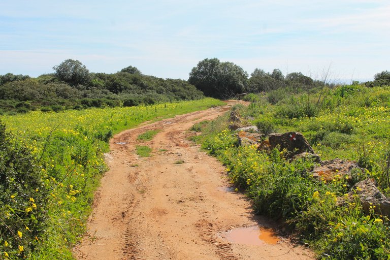
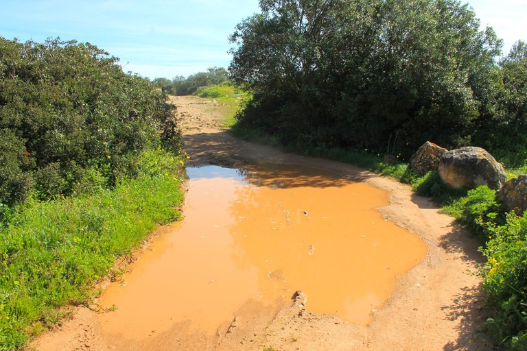
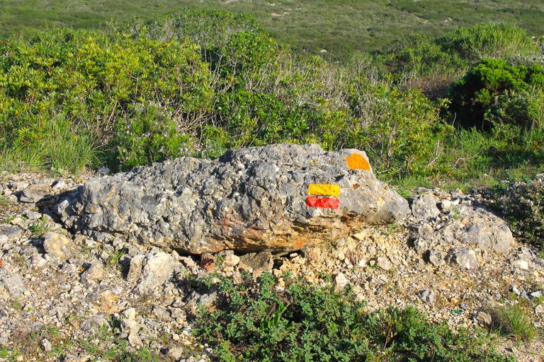
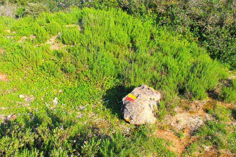
Here when we start to see the signs the terrain is terrible and since it rained this week there are puddles and mud everywhere so come prepared to get dirty, the good news is you can turn off the gmaps and follow the signs because they will take you to the fort, at this point From the trail I must be more than 300 meters high and I must have walked about 10 km or more!🧭🍍🌄
Aqui cuando comenzamos a ver las señalizaciones el terreno es fatal y como llovio esta semana hay charcos y barros por todos lados asi que vente dispuesto a ensuciar, la buena noticia puedes apagar el gmaps y seguir las señales porque te llevaran al fuerte, a esta altura del sendero debo estar a mas de 300metros de altura y debi caminar unos 10km o mas!🚵♂️🌻🚩

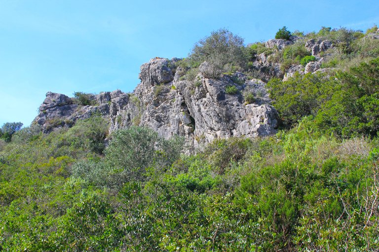
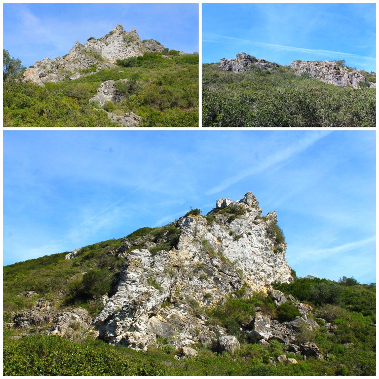
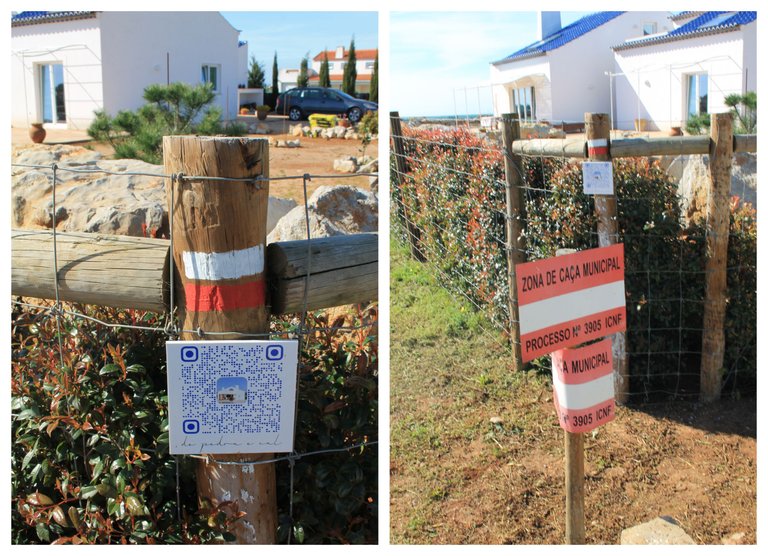
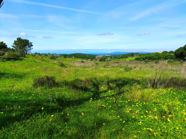
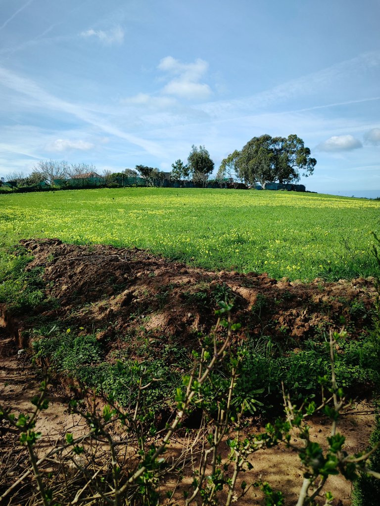
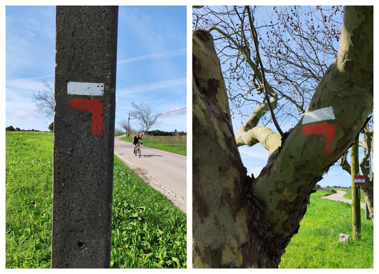
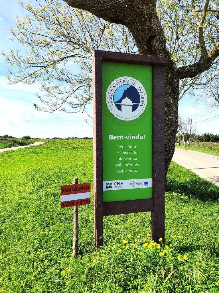
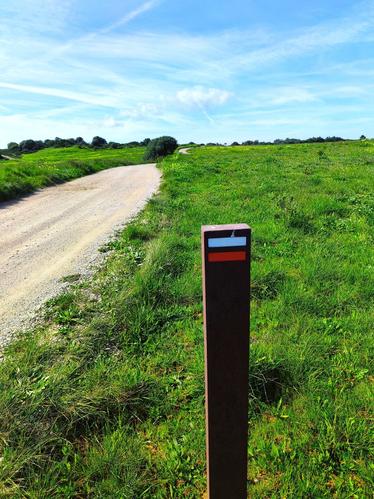
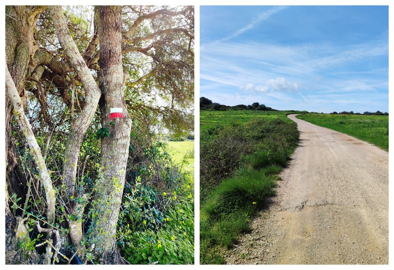
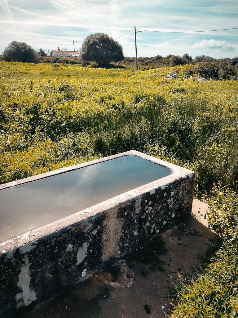
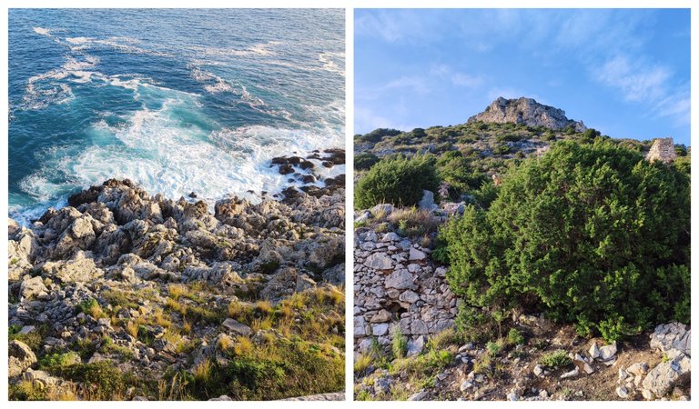
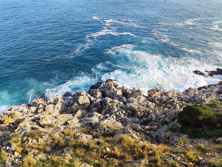
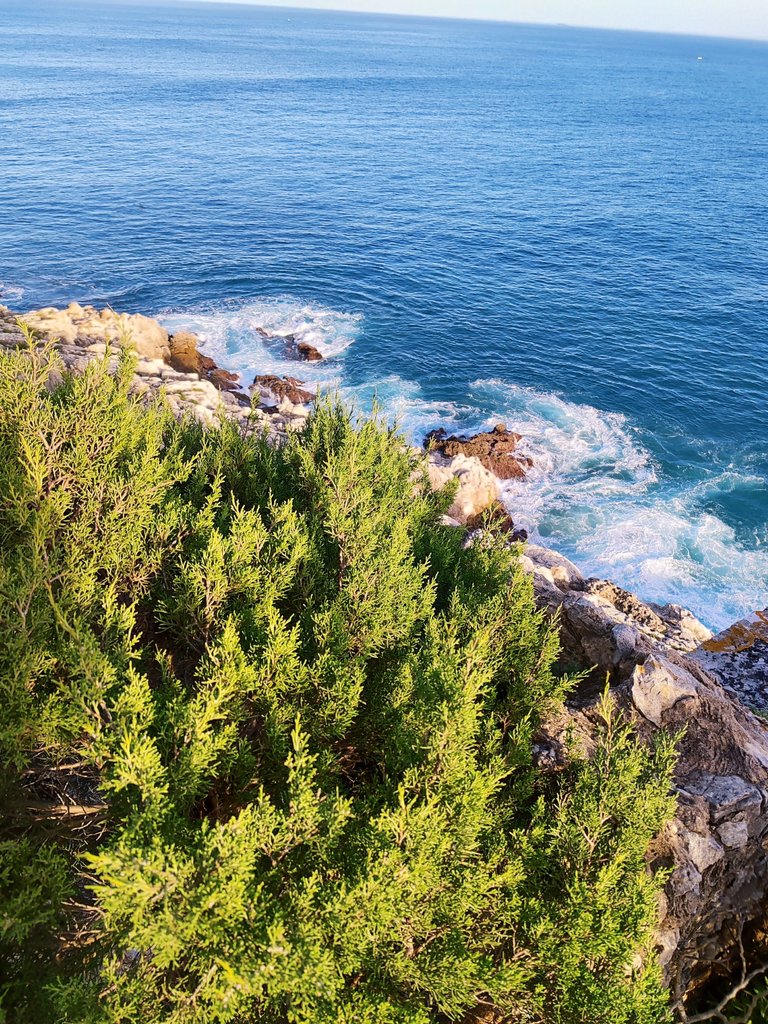
Here we are getting closer to our destination! In the distance you begin to see the ocean and it is a good sign! Of course we will enter the nature reserve and abandon the asphalt road for more sand!🌄🍍
Aqui estamos cada vez mas cerca de nuestro destino! a lo lejos se comienza a ver el oceano y es buena señal! claro entraremos en la reserva natural y abandonaremos el camino del asfalto por mas arena!🌊🧭

Ocean in sight 🧭🌍/Océano a la vista🚩
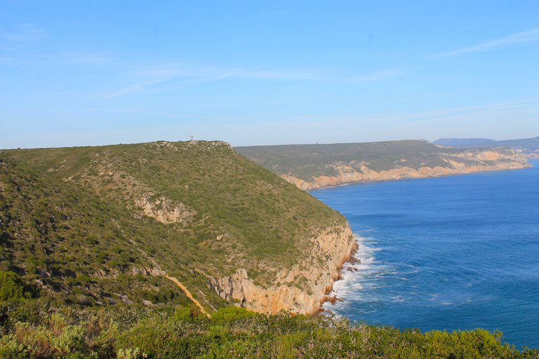
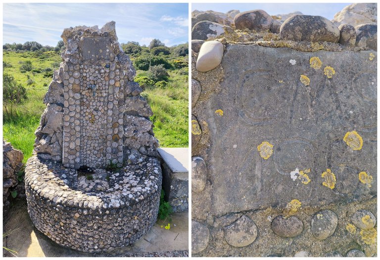
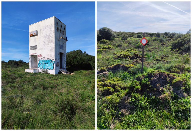
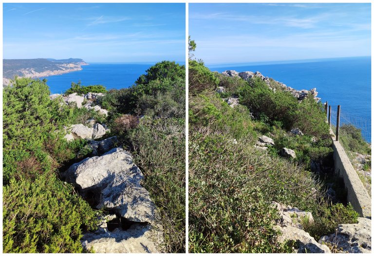

Arrival at the fort🧭🌍/Llegada al fuerte🚩
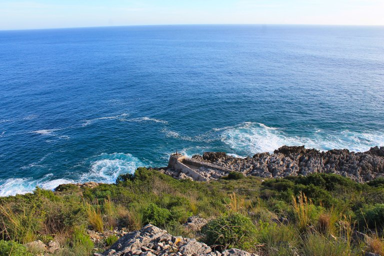
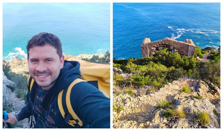
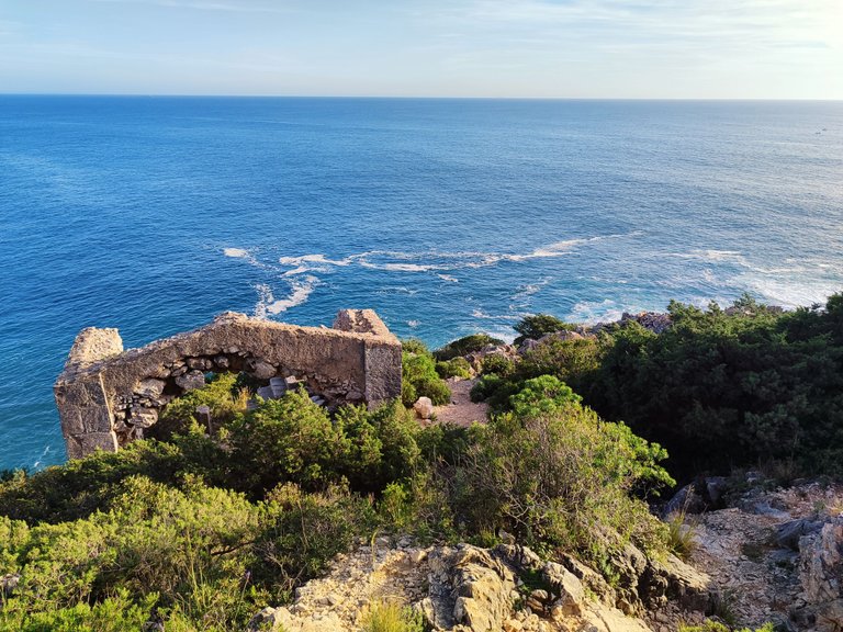
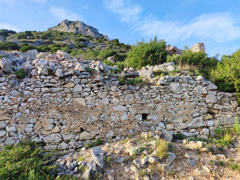
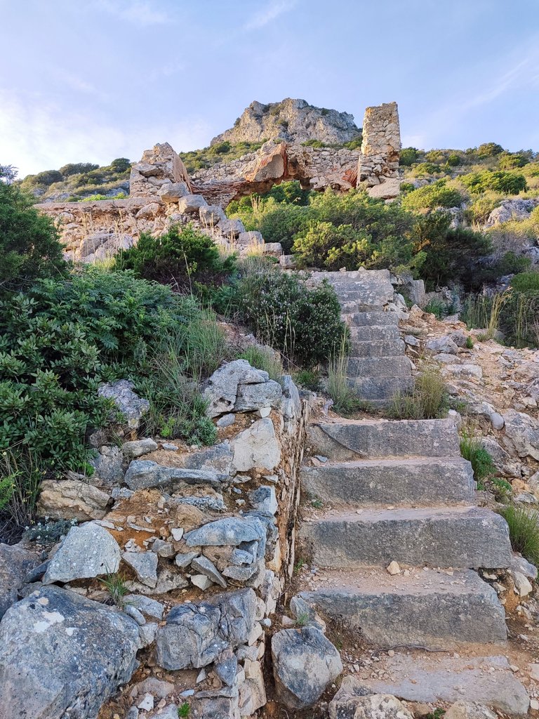
This is the first military fort that was built in the Sesimbra area and dates back to the 1665 century. King D. Joao IV was the one who gave the order to build a military structure to protect the south of Lisbon since the Arrabida mountain range has a geography that allows ships to penetrate Portugal in less turbulent waters, since there is like a natural channel!🍍🌄🚩
Este es el primer fuerte militar que fue construido en la zona de Sesimbra y data del siglo 1665 el rey D. Joao IV fue el que dio la orden de construir una estructura belica para proteger el sur de Lisboa pues la sierra de la arrabida tiene una geografia que permite a barcos penetrar portugal en aguas pocos turbulentas, ya que hay como un canal natural!🚵♂️🌍

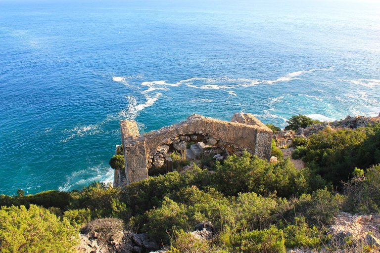
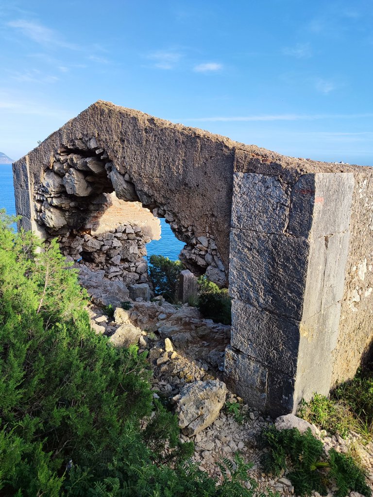
construction: 1665🚙👨🦯
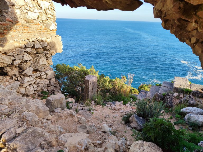
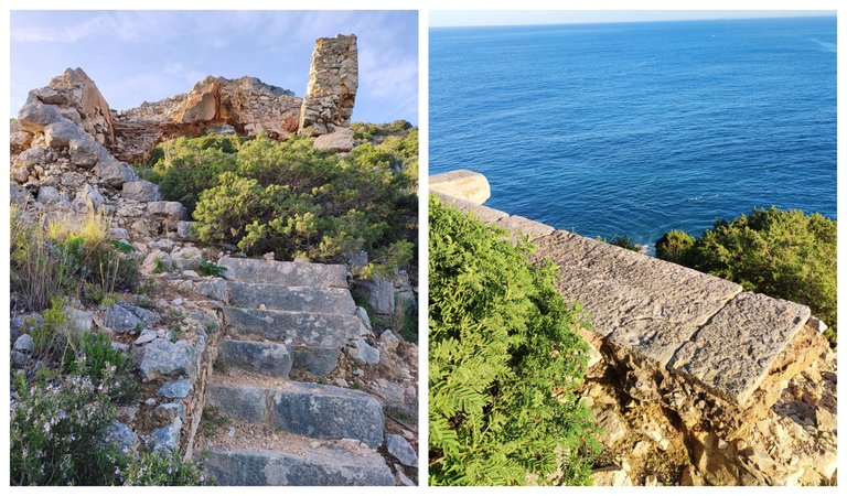
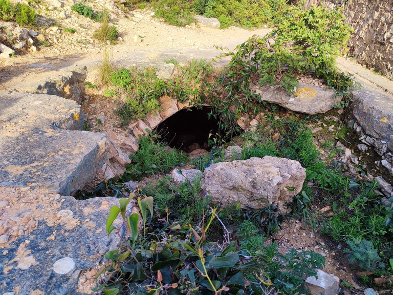
It was most active in the 18th century when, together with other forts of Sesimbra, they protected the country from the Napoleonic invasion. According to the records of the municipal chamber of Sesimbra, the fort saw action and was even destroyed. Currently, there is no project. to recover it and it is a little difficult because of the very isolated area where it is! It is also just over 25 meters high!👀🧭🌏
Estuvo mas activo en el siglo XVIII cuando en conjunto con otros fuertes de sesimbra protegieron el pais de la invacion napoleonica, sin segun registros de la camara municipal de sesimbra el fuerte vio accion y hasta llego a ser destruido, en la actualidad no hay ningun proyecto para recuperlo y es un poco dificil por la zona muy aislada donde esta! ademas esta a poco mas de 25 metros de altura!😲🚙


DNA is an organization to foster and DENSIFY NATURE-APPRECIATION which aims to establish REPORTS OF BIODIVERSITY DATA that is contributed by all of us Hiveans and subsequently cataloged.
Therefore DNA searches for HIGH-QUALITY posts that aim to DESCRIBE and determine the BIODIVERSITY AROUND YOU with added EXPLANATIONS and INFORMATION. For these informative posts they offer a CURATION SERVICE using the @dna.org account. It is also a CURATION TRAIL. Just add the #dna TAG if you think that any of your posts is what they are looking for.
THANKS FOR READING ME (PHOTOS OF MY PROPERTY) / GRACIAS POR LEERME FOTOS DE MI PROPIEDAD🙂🧠🦾👍


So much history there
Want to Know more about Hivepakistan?
Ping Us On Hive Pakistan Discord server
To support HivePakistan, delegate Hive Power to hivepakistan and earn 90% curation reward :)
Here are some handy links for delegation
A delegation of 500 or more HP makes you earn Hivepakistan supporter badge.
Que lindas vistas :)