Hello fellow travelers, again passing through this beautiful community to bring you my latest adventure, it is a trail with an extension of 13km whose main points of interest are archaeological places where the Romans for hundreds of years extracted minerals and resources from Portugal, we are also going To enjoy the beautiful landscapes of Sintra, we will be in a place called "Serra do Casal de Cambra", a very small village north of Belas, without further ado, enjoy my experience!🌄🚙
Hola amigos viajeros, nuevamente pasando por esta hermosa comunidad para traerte mi ultima aventura, se trata de un sendero con una extension de 13km cuyos principales puntos de interes son lugares arqueologicos donde los Romanos por cientos de anos extrayeron minerales y recursos de Portugal, tambien vamos a disfrutar de lis lindos paisajes de Sintra, estaremos en un lugar llamado "Serra do Casal de Cambra" una aldea muy pequena al norte de Belas, sin mas que agregar disfruta de mi experiencia!🍀🍁

Why do the Fonteireira trail?🌍/Por que hacer el sendero Fonteireira?🚩
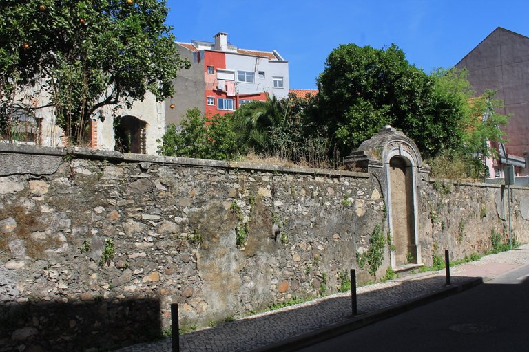
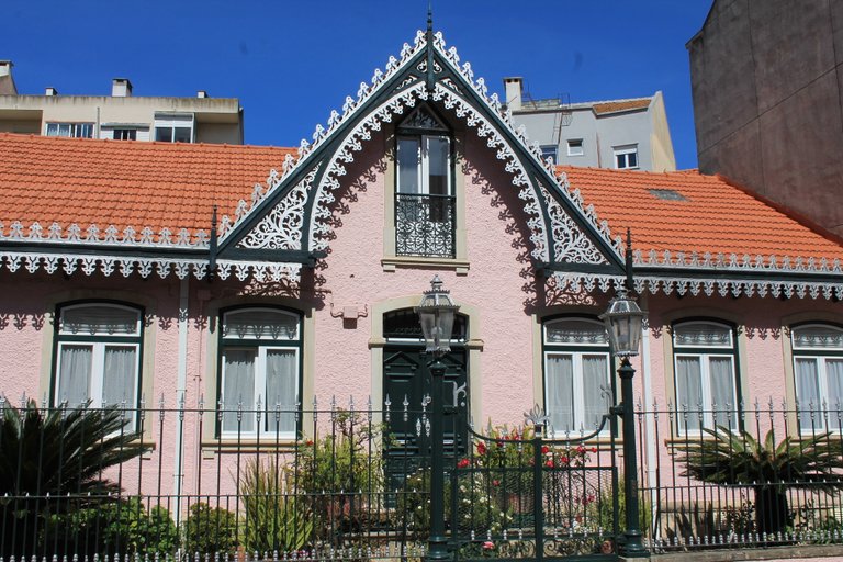
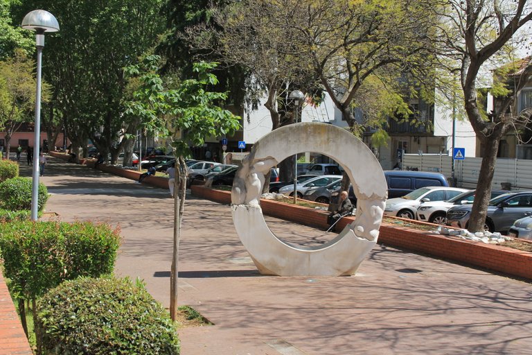
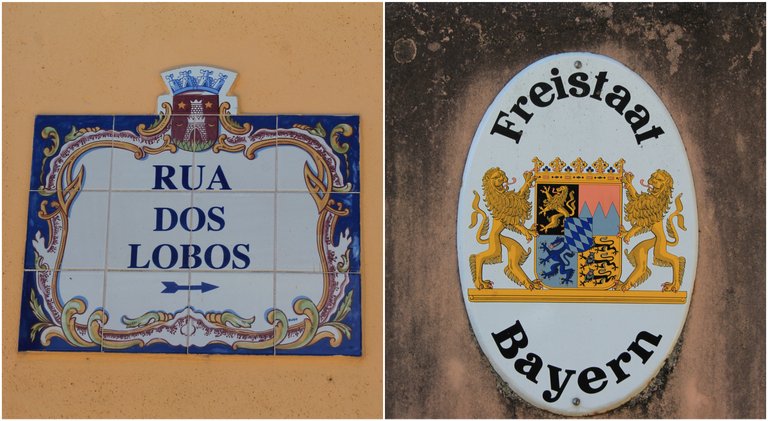
The beginning of the Trail (38.776684, -9.264321) is one of the main interests of why we have to do it if we visit Portugal, firstly the town of Belas was always known for being a city far from the center of Lisbon whose surroundings we see the protected area of Sintra which has one of the best landscapes in Portugal, at the same time the city has many old houses, some from the 15th century so we can see an evolution in the architecture over the years, Belas was always inhabited and we see remains of civilizations from the Middle Paleolithic more than 30,000 years BC, and as a parish it was founded in the mid-18th century🌄🌍🌲
El inicio del Sendero (38.776684, -9.264321) es uno de los principales interes del porque tenemos que hacerlo si visitamos Portugal, primeramente la localidad de Belas siempre fue conocida por ser una ciudad alejada del centro de Lisboa cuyos alrededores vemos el area protegida de Sintra la cual tiene uno de los mejores paisajes de Portugal, al mismo tiempo la ciudad tiene muchas casas antiguas algunas del siglo XV por lo que podemos ver una evolucion en la arquitectura a lo largo de los anos, Belas siempre fue habitada y vemos restos de civilizaciones del Paleolitico Medio hace mas de 30,000 anos a.C, y como freguesia se fundo en mediados del XVIII🚩🌿

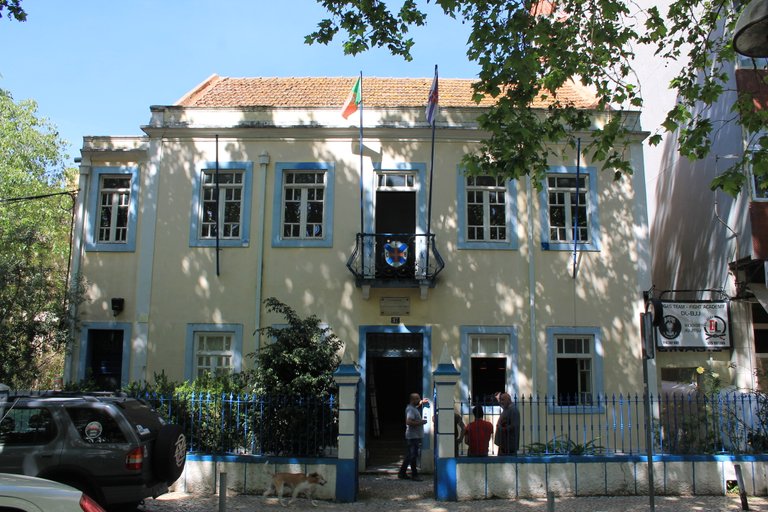
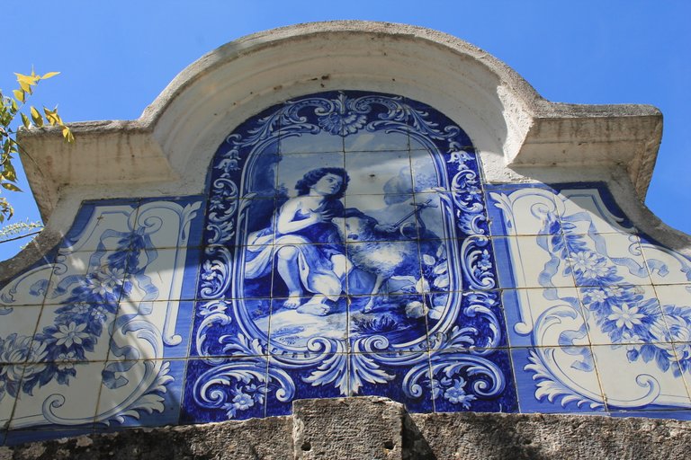
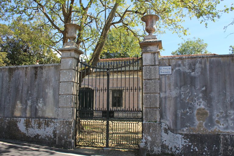
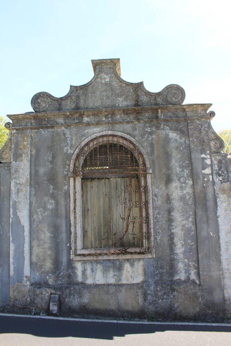

Trail characteristics🌍/Caracteristicas del sendero🚩
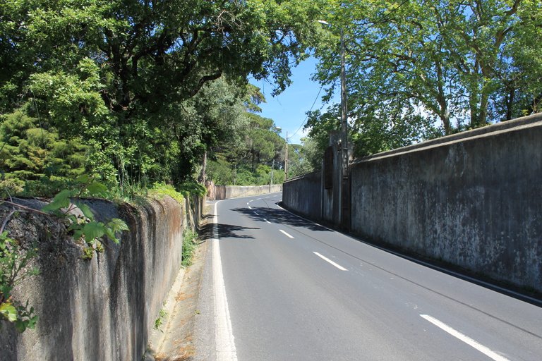

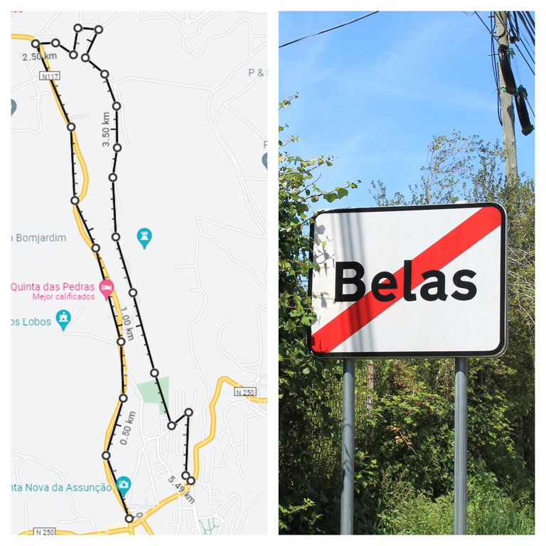
The trail is not difficult, I would say that it has a requirement (easy-medium), ideal for novices and people who like to walk, the only part being the most difficult when we leave the city of Belas and head to "calle dos carvalhos" we literally have a climb but it is on the road so nothing special, because it is a mix between urban and natural area we will not be completely far from civilization and we can buy things in case we do not want to do it with a heavy backpack, almost 60% of the The trail will be on the road only until you start the walk in the Roman activity area! In total you can do it in 4 hours and take 12km round trip!🚙⛲
El sendero no es dificil diria que tiene una exigencia (facil-media), ideal para novatos y personas que gustan de caminar, unicamente siendo la parte mas dificil cuando dejamos la ciudad de Belas y nos dirigimos a "calle dos carvalhos" literalmente tenemos una subida pero es en la carretera por tanto nada de especial, debido que es una mezcla en entre area urbana y natural no estaremos completamente alejados de la civilizacion y podemos comprar cosas en el caso no queramos hacerlo con una mochila pesada, casi el 60% del sendero sera en la carretera solo hasta iniciar la caminata en el area de actividad Romana! en total puedes hacerlo en 4horas y demorar 12km ida y vuelta!🚵🏻♀️🚵🏻

Beginning of the adventure🌍/Comienzo de la aventura🚩
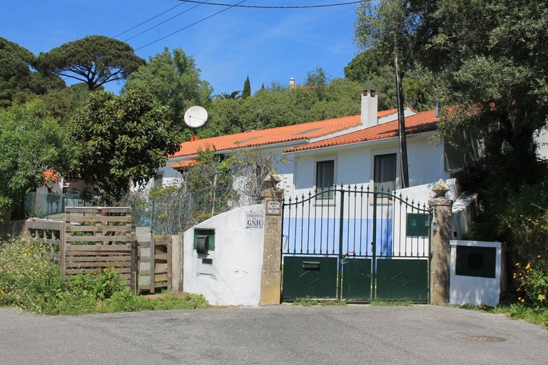
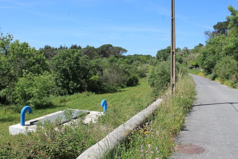
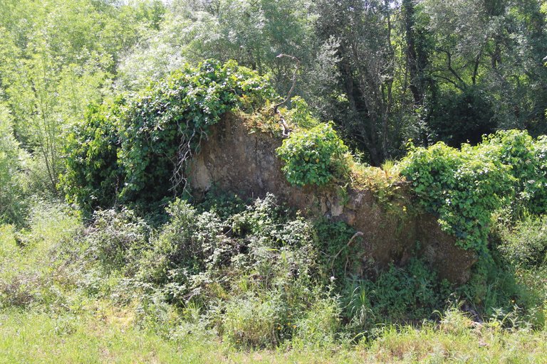
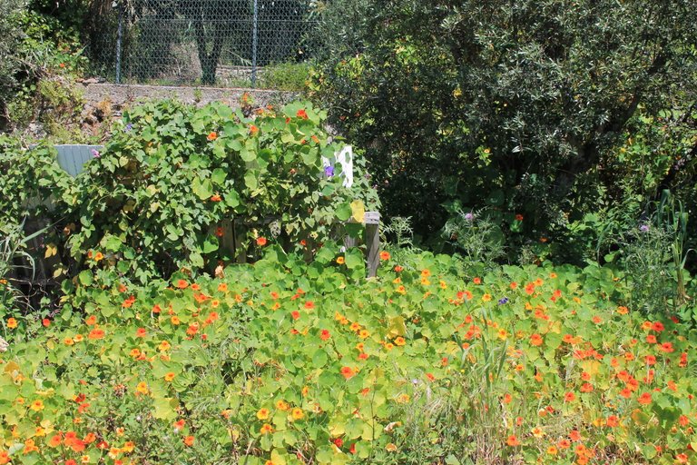
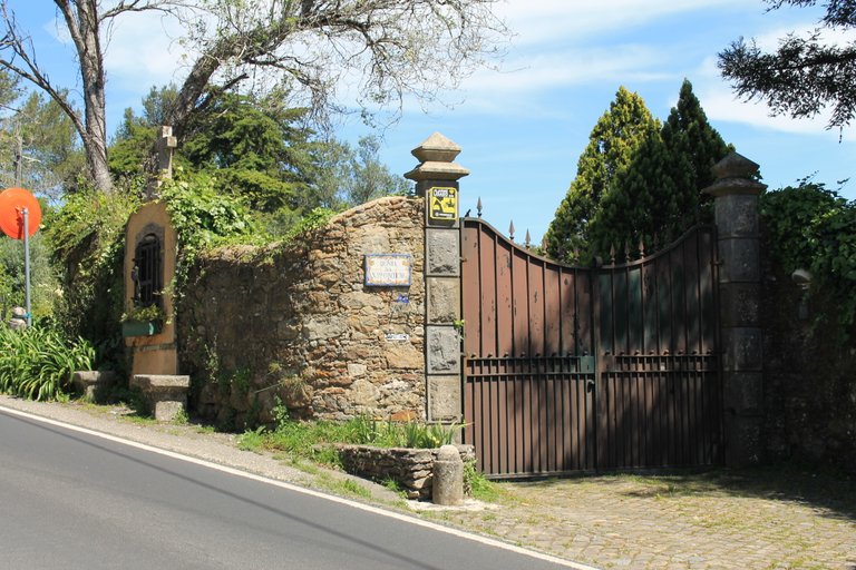
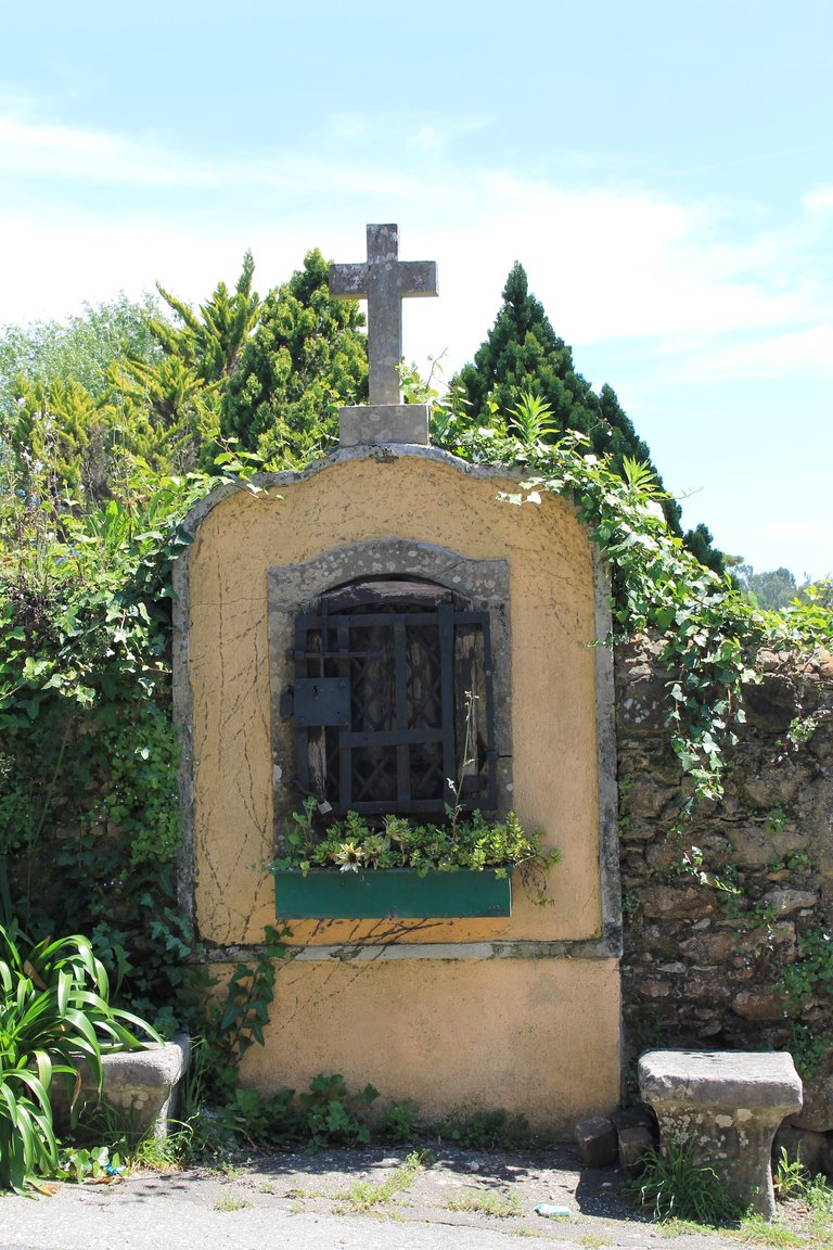
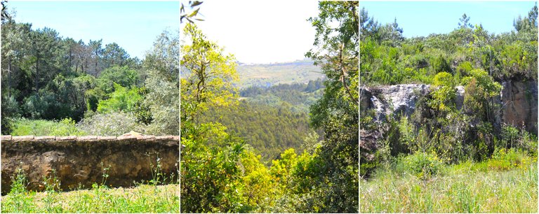
After approximately 2km of walking I had already left Belas behind and was in another parish, however the entire area belongs to Sintra, this area in ancient times was always an area of commercial routes to the north of the country starting from Lisbon, from the Romans who connected the city with Spain! and today you can see some original sand roads from the time, if you like cycling the trail allows you to do it by bicycle, however you must be prepared because some km are of irregular terrain! The best time of the year? for my spring or a day without winter rain to see the rivers! Summer you won't be able to photograph rivers and the heat is horrible, reaching 40 degrees!🌲🌍🌄
luego de aproximadamente 2km de caminata ya habia dejado atras Belas estaba en otra freguesia sin embargo toda la zona pertenece mismo a Sintra, esta area en la antiguedad siempre fue una zona de rutas comerciales hacia el norte del pais partiendo desde Lisboa, a partir de los Romanos quienes conectador la ciudad junto con Espana! y hoy en dia se pueden ver algunas carreteras de arenas orginales de la epoca, si te gusta el ciclismo el sendero te permite hacerlo en bicicleta sin embargo debes estar preparado porque unos km son de terreno irregular! la mejor epoca del ano? para mi primavera o un dia sin lluvia de invierno para ver los rios! verano no podras fotografiar rios y el calor es horrible alcanzando 40 grados!🍀🧭

Entrance to the Roman route🌍/Entrada a la ruta romana🚩
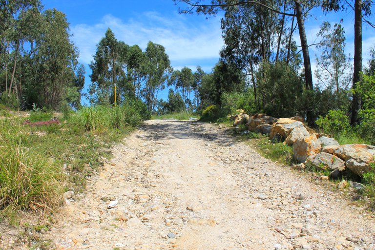
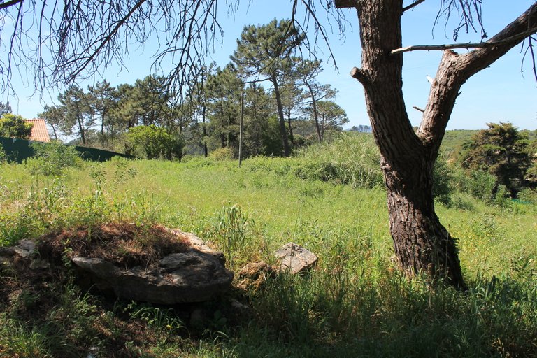
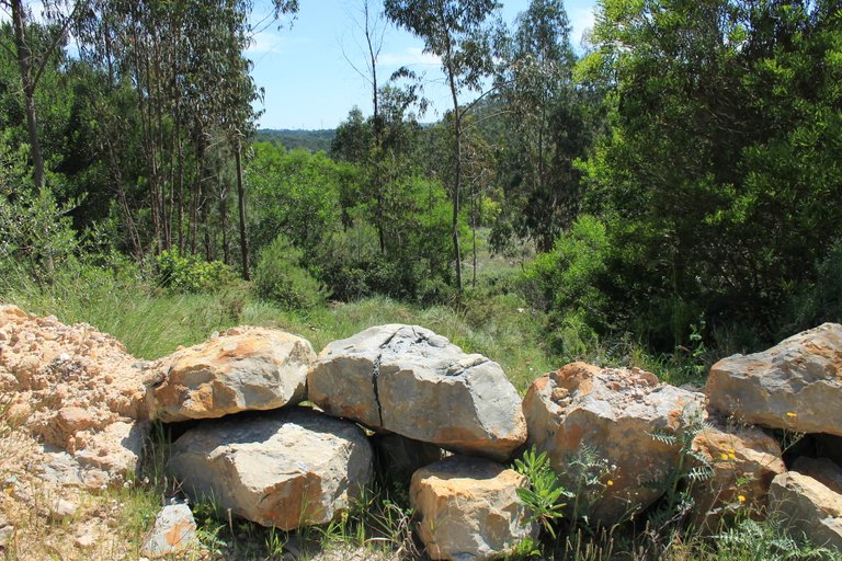
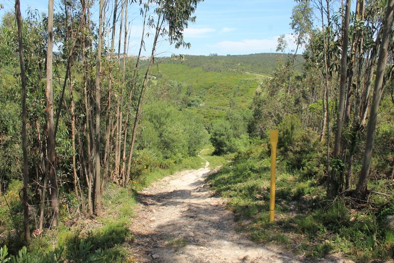
here the Romans were supposed to have trade routes👨🏫🍍
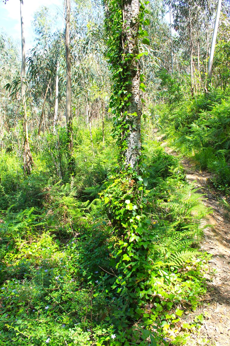
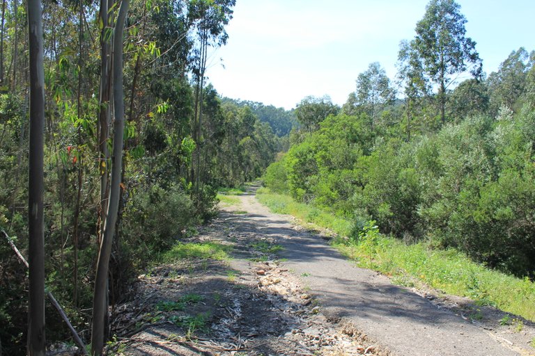
Note that the terrain conditions change completely and this is what I liked about the trail, which has some challenges. From now on we will no longer walk on the road, on the contrary, the path will be a sandy path surrounded by the typical Mediterranean forest and many eucalyptus, in the distance we see a golf course called: (belas golf course), and we are going to take a route to the right that will take us to the first stop, a natural drinking fountain from the 17th century🧭🌏👩🏫
fijate que ya las condiciones del terrenos cambian totalmente y esto es lo que me gusto del sendero que tiene algunos retos, ya no caminaremos a partir de ahora en carretera, al contrario el sendero sera un camino de arena y rodeado del tipico bosque del mediterraneo y muchos eucalipto, a lo lejos vemos un campo de golf llamado: (campo de golf belas), y vamos a tomar una ruta a la derecha que nos llevara a la primera parada un bebedero natural del siglo XVII 🍍🚙

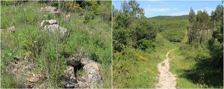
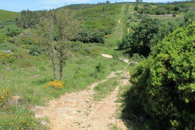
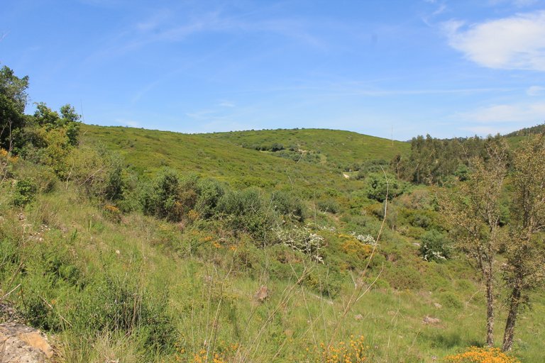

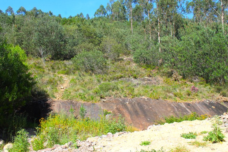
Here we are at the highest point of the trail at about 355 meters high, we are in the Carregueira mountain range, which due to its geomorphic characteristics, lends itself to the extraction of minerals, something that the Romans saw and because of that they settled in this region for many years, I was not able to visit a mine because the detour is quite far but if you have time you can make a stop at: "large mine grotto", at this point on the trail we have to be careful, better be prepared with clothing suitable for excursion, the terrain is slippery🌍🚙⛲
aqui estamos en el punto mas alto del sendero a unos 355metros de altura, nos encontramos en la sierra Carregueira, la cual debido a sus caracteristicas geomorficas, se presta para la extraccion de minerales, cosa que vieron los Romanos y debido a eso se asentaron en esta region por muchos anos, yo no pude visitar una mina debido a que el desvio es bastante lejos pero si tienes tiempo puedes hacer una parada en: "gruta mina grande", en este punto del sendero tenemos que tener cuidado mejor estar preparados con ropa adecuada para excursion, el terreno es resbaloso🧭🌄

Fonteireira drinker🌍/Bebedero Fonteireira🚩
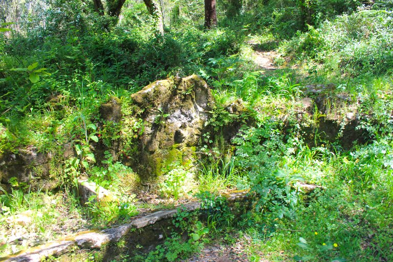
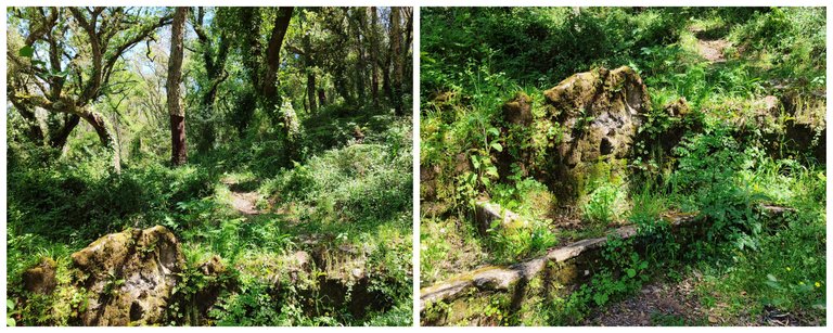
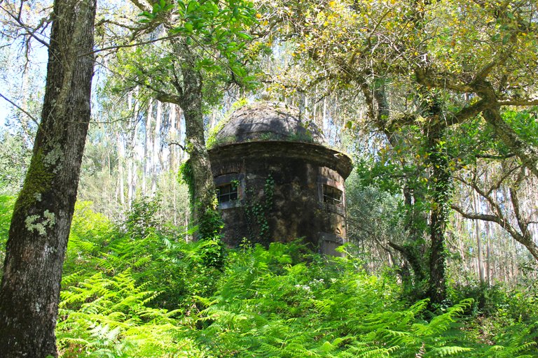
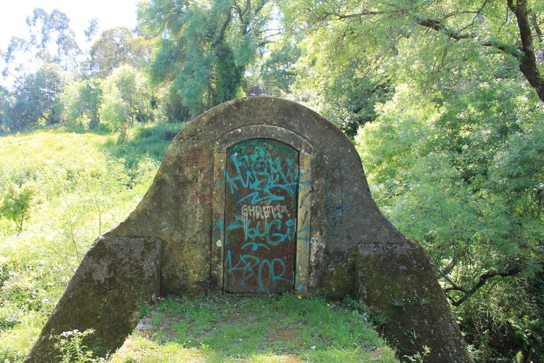
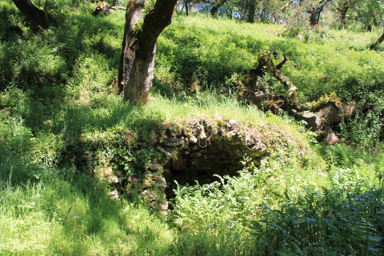
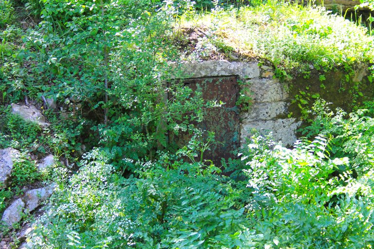
Due to the shape and characteristics, it is very likely that the trough dates back to long before the 18th century. People only began to focus on this area in 1856, but before that the Romans already existed. Since I cannot find information on the internet about the trough, I cannot rule out 100% that it is from an older era to the age of discovery! Everything will remain unknown, however it is the first point of interest on the trail!⛲🚙
debido a la forma y las caracteristicas es muy probable que el bebedero sea mucho antes del XVIII, apenas las personas se acentaron en esta area en 1856 pero antes ya existian los Romanos al no conseguir informacion en internet del bebedero no puedo descartar 100% que sea de una epoca mas antigua a la era de los descubrimientos! todo quedara en incognita sin embargo es el primer punto de interes del sendero!🌍🚵🏻♀️

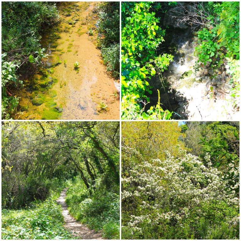
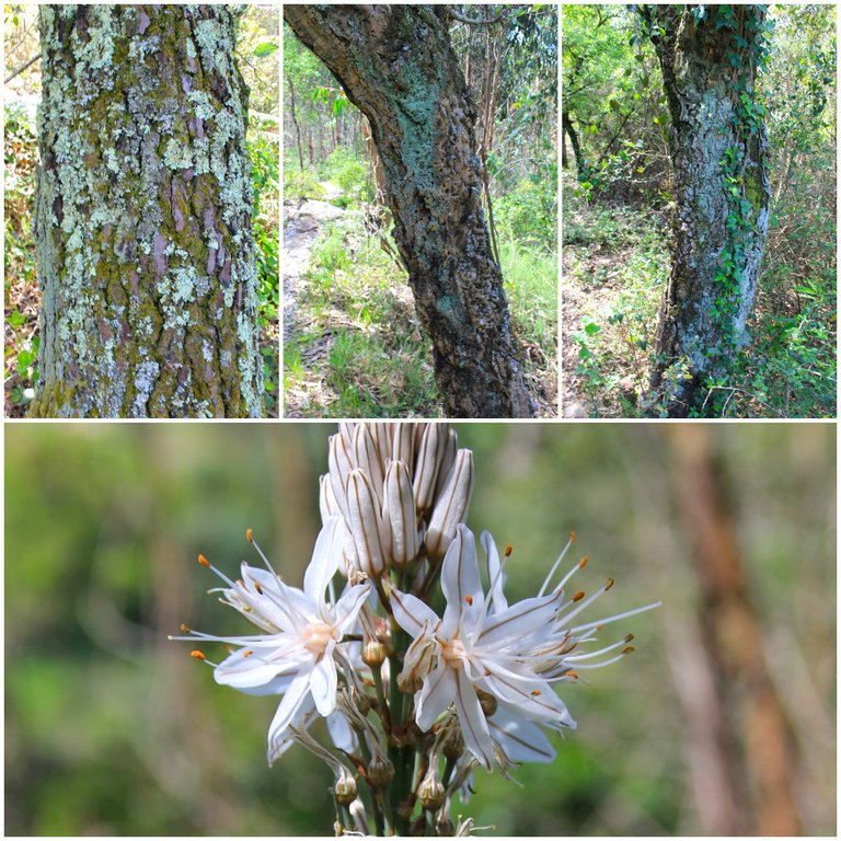
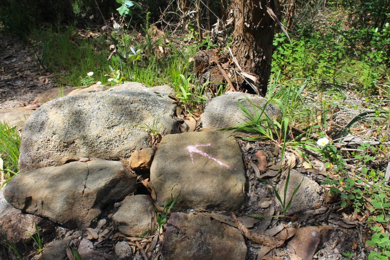
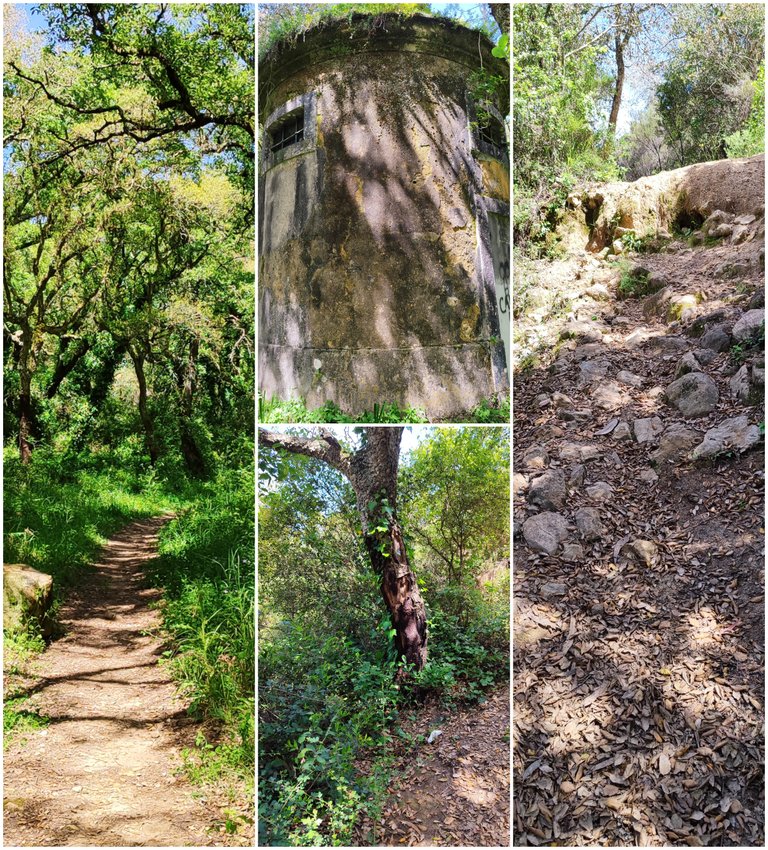
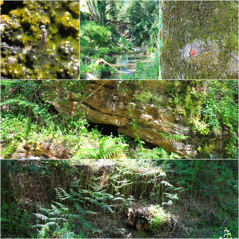
The path is beginning to be a little more confusing but as you can see the landscape is wonderful, many plants and virgin areas, even though you are going to go through many paths, don't worry, there are several signs so it is almost impossible to get lost, and if you feel that you got lost don't worry all paths connect!🌄🧭
El sendero ya comienza a ser un poco mas confuso pero como puedes ver el paisaje es maravilloso muchas plantas y zonas virgenes, aoesar que vas a pasar por muchos caminos no te preocupes que hay varias senalizaciones por tanto es casi imposible perderte, y si sientes que te perdiste no te preocupes todos los caminos se conectan!🚩🚵🏻

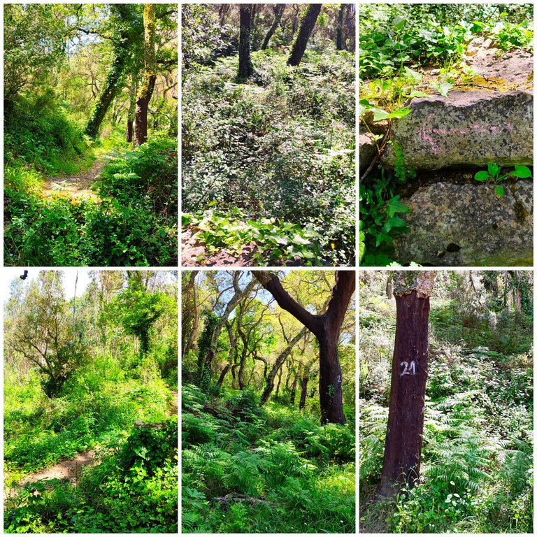
The aqueducts🌍/Los acueductos🚩
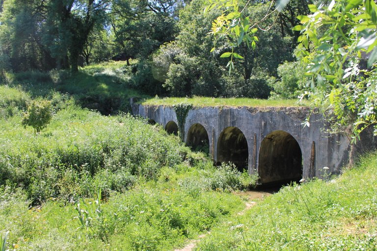
The second point of historical interest on the trail are the aqueducts, although the Romans already used aqueducts in their civilization, these here are typical of the Portuguese. The date can vary from the 17th to the 16th centuries, some connected Lisbon with other regions, If I'm not mistaken, this one goes through Belas to Lisbon and the surrounding area!🧭⛲
El segundo punto de interes historico en el sendero son los acueductos, apesar de que los romanos ya usaban acuedutos en su civilizacion estos de aqui son propios de los Portugueses la fecha puede variar desde el siglo XVII hasta el XVI algunos conectaban lisboa con otras regiones, si no me equivoco este pasa por Belas hasta Lisboa y los alrededores!🚩🌄

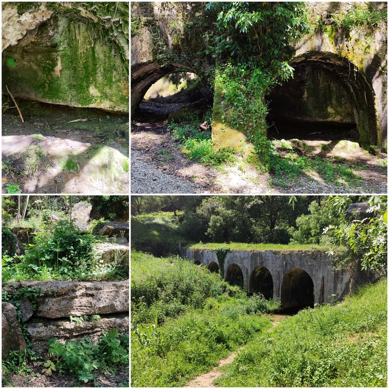

Fonteireira natural dam🌍/Represa natural de Fonteireira🚩
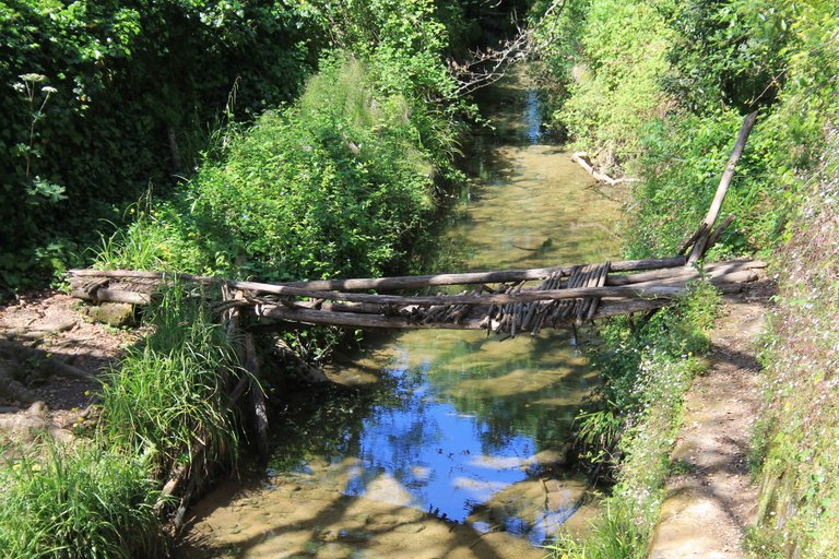
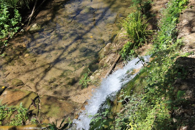
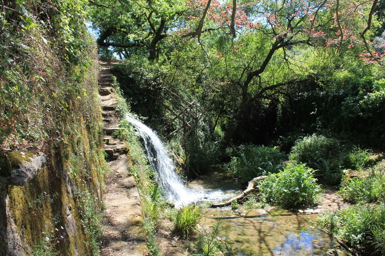
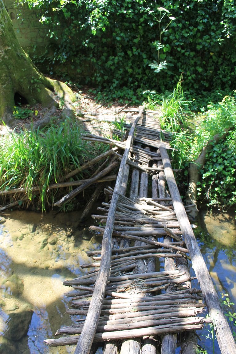
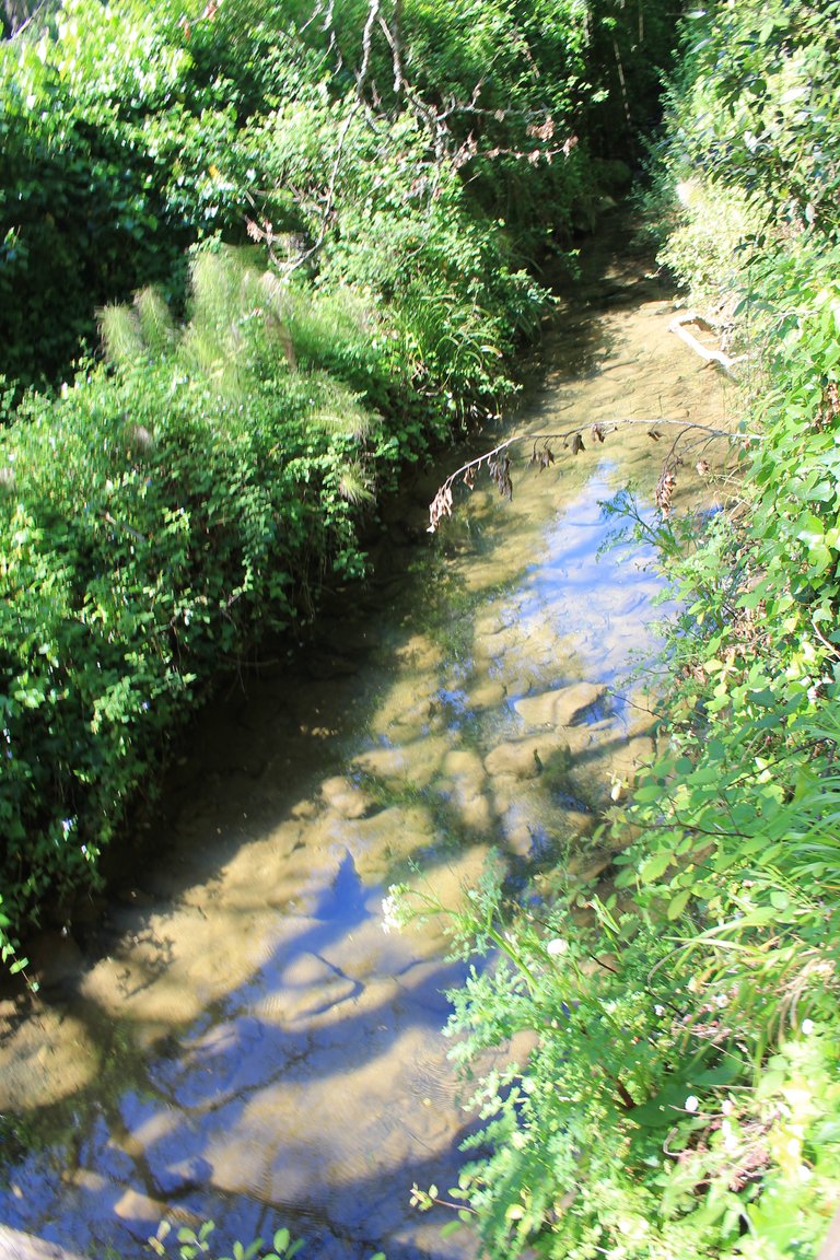
water always available👨🏫🍍
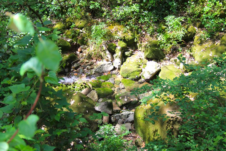
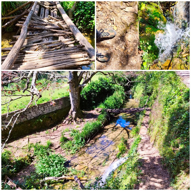
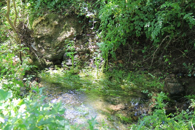
This is another interesting historical point where we will pass on the trail, it is the Fonteireira natural dam, this structure always has water throughout the year and it is believed that it was built by the Romans, there is little information on the internet but since the area is populated by Romans to extract minerals, it is very likely that it was built by them! In summer it does not have the same strength, so I recommend winter, the area is beautiful and cool! The water is not suitable for drinking or bathing! It is currently a protected area and is a rest route for the people who live in the surrounding area!🧭🌏👩🏫
Este es otro punto historico interesante donde pasaremos en el sendero, se trata de la represa natural de Fonteireira esta estructura siempre dispone de agua durante todo el ano y se cree que fue construida por los Romanos hay poca informacion en internet pero al ser la zona poblada por romanos para extraer minerales es muy probable que haya sido construida por ellos! en verano no tiene la misma fuerza por eso te recomiendo invierno el area es bonita y fresca! el agua no es apta para beber ni banarte! actualmente es una zona protegida y es una ruta de descanso para las personas que habitan en los alrededores!🍍🚙

Landscapes🌍/Paisajes🚩
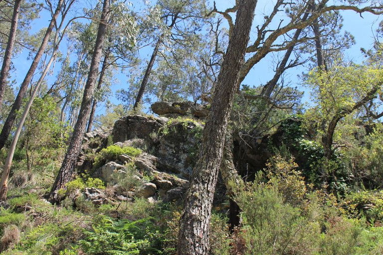
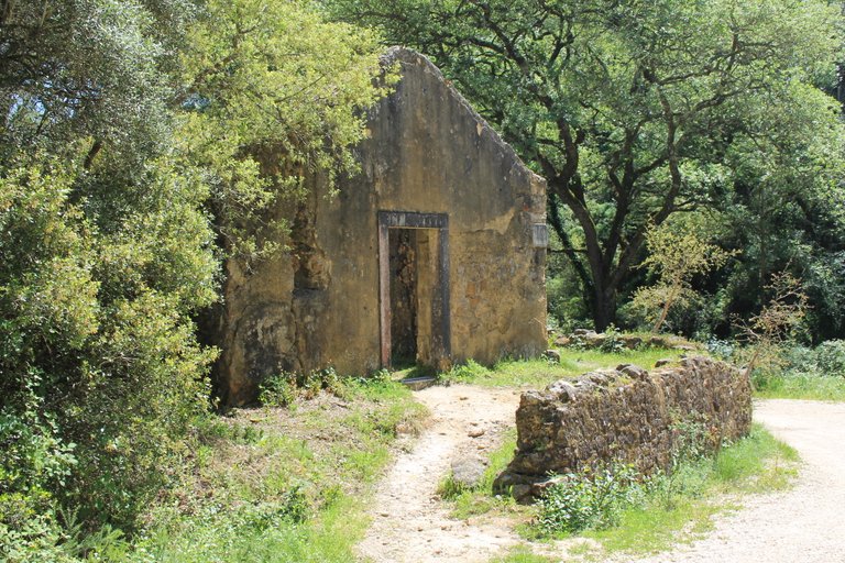
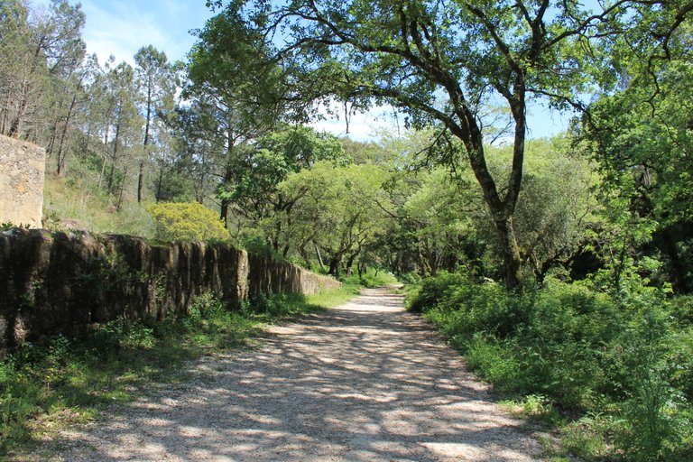
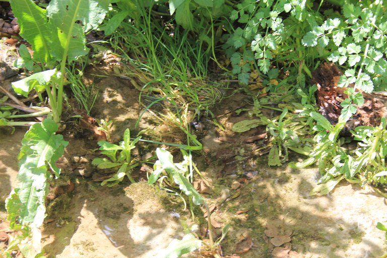
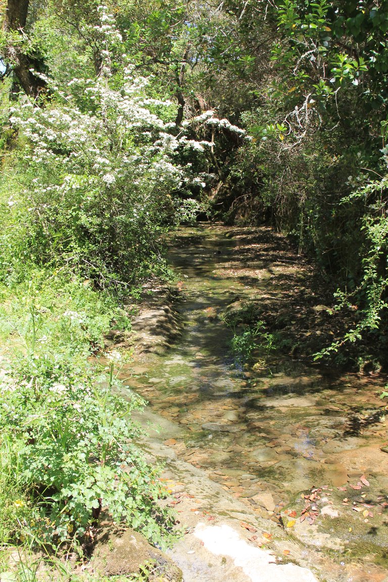
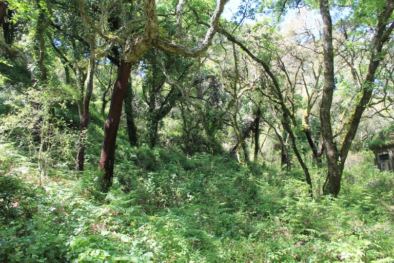
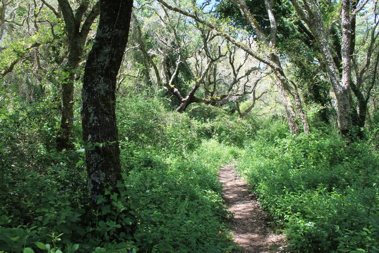
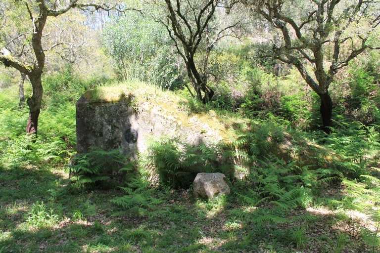
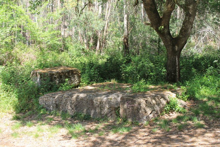
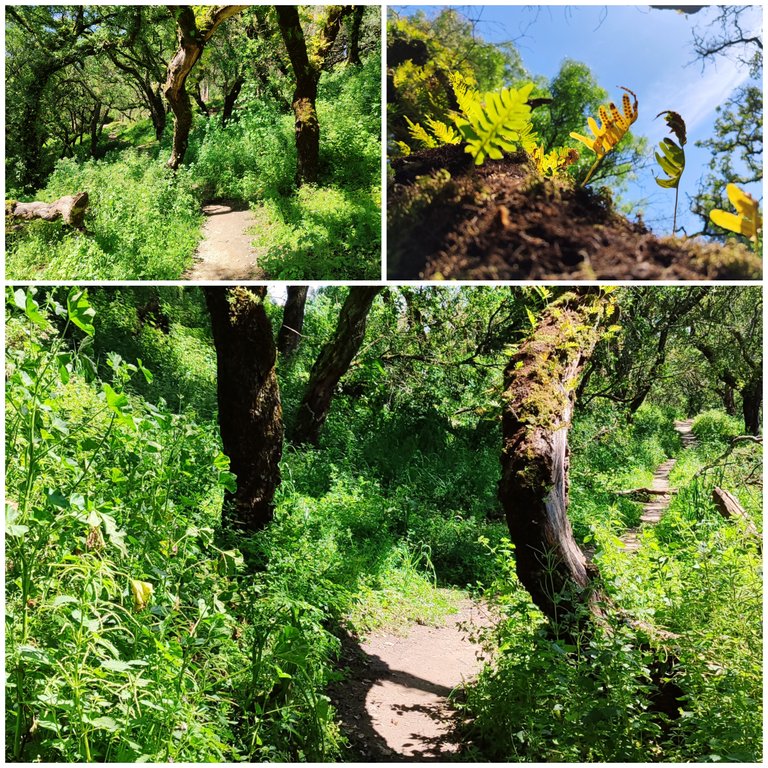
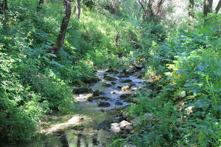
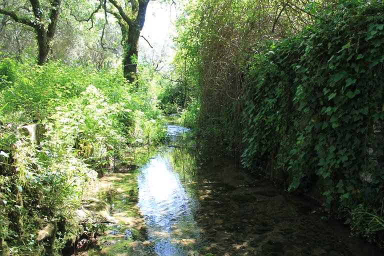
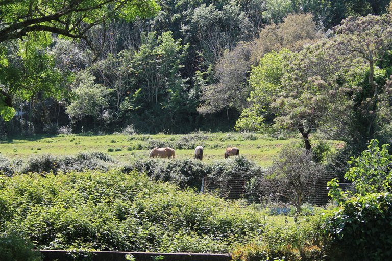
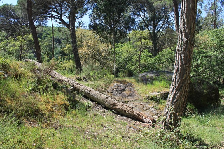
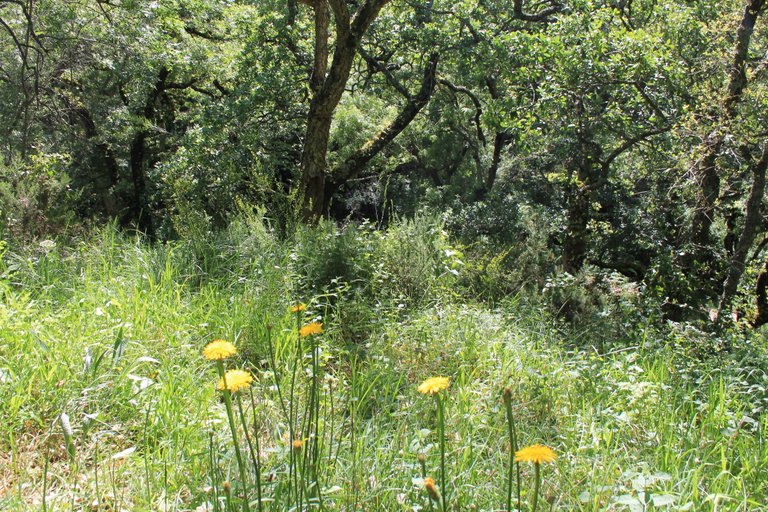
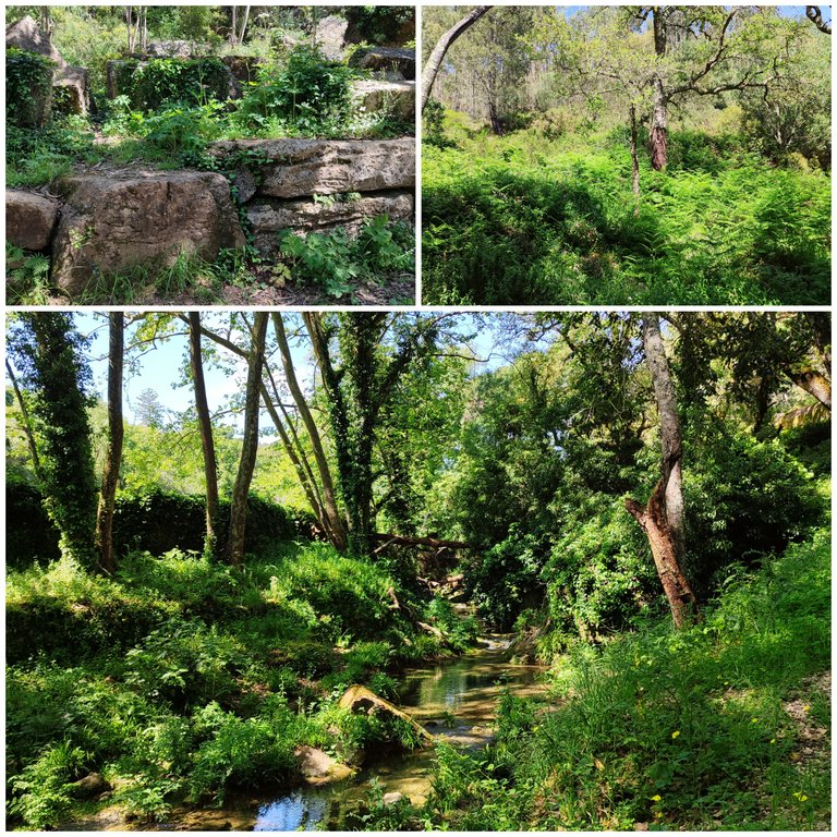
Clearly what prompted me to do the trail was the landscape, it is very beautiful, walking around the river is a relaxing and calming experience, during the week it is even better because there are almost no people here! and few tourists know about this hidden site that is special and that in turn teaches us a lot about Portuguese culture and its ancestors!🧭🚵🏻
Claramente lo que me impulso a realizar el sendero fue el paisaje es muy bonito, caminar al rededor del rio es una experiencia relajante y tranquilisante, entre semana es aun mejor porque no hay casi personas por aqui! y pocos turistas conocen este sitio oculto que es especial y que a su vez nos ensena mucho sobre la cultura Portuguesa y sus antepasados!🚙🌍



Fonteireira Viewpoint🌍/Mirador Fonteireira🚩
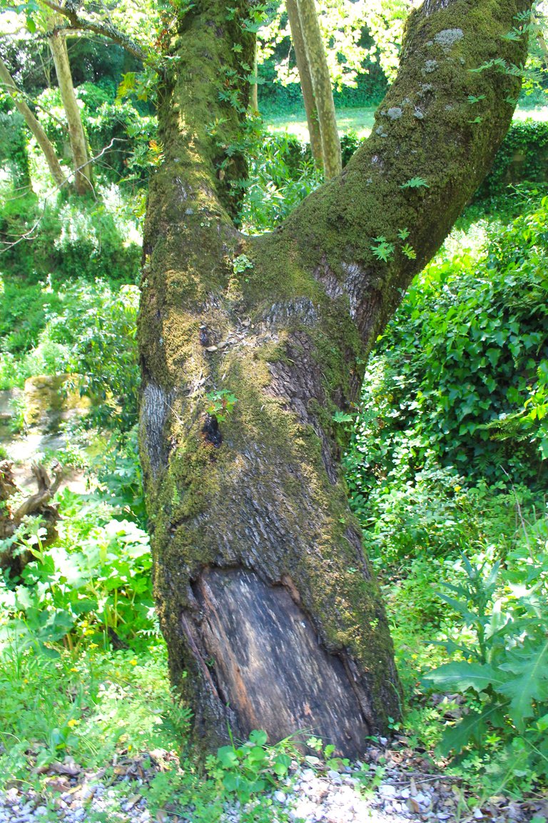

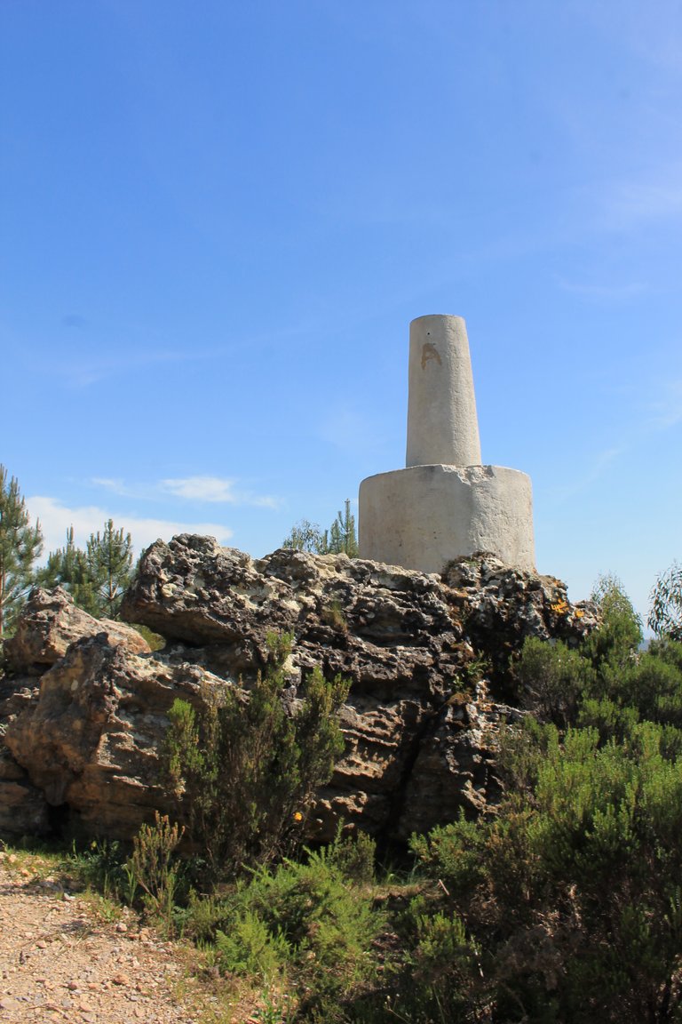
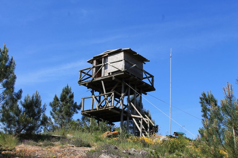
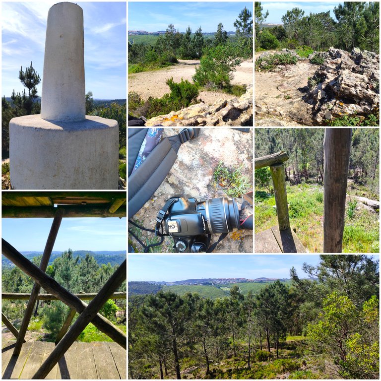
And finally we completed the trail and we have already done about 7km, what better way than to climb to the highest point in the area at more than 480 meters, here we see Lisbon and the surrounding area including Belas in a 360 degree view, we also have this nice surveillance post against fires to rest and prepare to return! I give it five stars out of five, it was quite an adventure!🚙🚵🏻
Y por ultimo completamos el sendero y ya hicimos unos 7km, que mejor que subir al punto mas alto de la zona a mas de 480metros, aqui vemos lisboa y los alrededores incluyendo belas en una vista de 360grados, tambien tenemos este bonito puesto de vigilancia contra incendios para descansar y prepararnos para regresar! le doy cinco estrellas de cinco fue toda una aventura!🧭🌄


DNA is an organization to foster and DENSIFY NATURE-APPRECIATION which aims to establish REPORTS OF BIODIVERSITY DATA that is contributed by all of us Hiveans and subsequently cataloged.
Therefore DNA searches for HIGH-QUALITY posts that aim to DESCRIBE and determine the BIODIVERSITY AROUND YOU with added EXPLANATIONS and INFORMATION. For these informative posts they offer a CURATION SERVICE using the @dna.org account. It is also a CURATION TRAIL. Just add the #dna TAG if you think that any of your posts is what they are looking for.
THANKS FOR READING ME (PHOTOS AND VIDEOS OF MY PROPERTY) / GRACIAS POR LEERME FOTOS Y VIDEOS DE MI PROPIEDAD🙂🧠🦾👍


Belleza de recorrido hiciste, el lugar es simplemente increíble.
Las fotos lindas y hablan de años y años de historia.
Gracias por compartir
¡Felicidades! Esta publicación obtuvo upvote y fue compartido por @la-colmena, un proyecto de Curación Manual para la comunidad hispana de Hive que cuenta con el respaldo de @curie.
Si te gusta el trabajo que hacemos, te invitamos a darle tu voto a este comentario y a votar como testigo por La Colmena.
Si quieres saber más sobre nuestro proyecto, te invitamos a acompañarnos en nuestro servidor de Discord.
Hiya, @ybanezkim26 here, just swinging by to let you know that this post made it into our Honorable Mentions in Travel Digest #2188.
Your post has been manually curated by the @pinmapple team. If you like what we're doing, please drop by to check out all the rest of today's great posts and consider supporting other authors like yourself and us so we can keep the project going!
Become part of our travel community:
Congratulations, your post has been added to Pinmapple! 🎉🥳🍍
Did you know you have your own profile map?
And every post has their own map too!
Want to have your post on the map too?